

Roger Hill’s Radio Vermont Forecast 3:00 PM MONDAY 11-24-25
TONIGHT: Mostly clear early this evening, then clouding up. A low in the low to mid 20s. Light southwest winds, breezier near Lake Champlain.
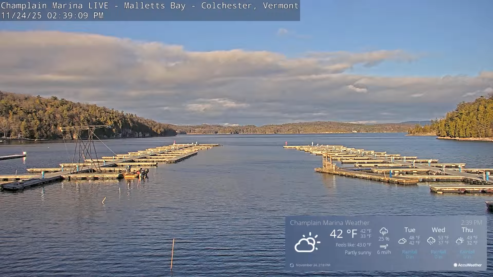
TOMORROW: Lots of clouds but with a warming trend. A high 45 to 50. South to southwest winds 10 mph stronger near the lake.
TUESDAY NIGHT: Cloudy. Good chance for light rain or showers late evening on. A low in the upper 30s – watch for icy spots! Light southeast winds.
WEDNESDAY: Chance for morning showers…becoming widely scattered with a break or two of afternoon sun. Milder. A high pushing to around 50. Light south winds.
Looking further ahead
WEDNESDAY NIGHT: Chance for a round of showers…tailing off with a few wet snow flakes higher terrain. Blustery with partial clearing overnight. A low 32 to 35.
THURSDAY THANKSGIVING DAY: Some morning sun & blustery, then thickening clouds. Slight chance for a late sprinkle/wet snow flake northern Champlain Valley. A high near 40.
FRIDAY: Mainly gray. Chance for light accumulating snow or snow showers with light coatings. Lows around 25. Colder…Highs around 32.
SATURDAY: A few intervals of sun but chilly. Lows 20 to 25. Highs upper 20s/around 30.
Average low: low to mid 20s Average high: mid 30s to low 40s
Admin: Time off (no forecast) this Wednesday Nov. 27th.
Full Cold Moon Dec. 4th 6:14 PM EST
Meteorological winter begins December 12th
RH/11-24/forecast][end] Fox Trot Delta Tango
