

Roger Hill’s Radio Vermont Forecast 3:00 PM THURSDAY 11-13-25
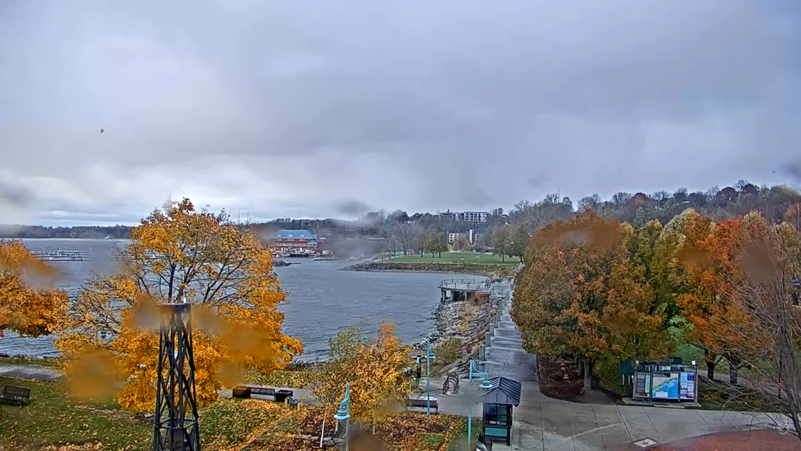
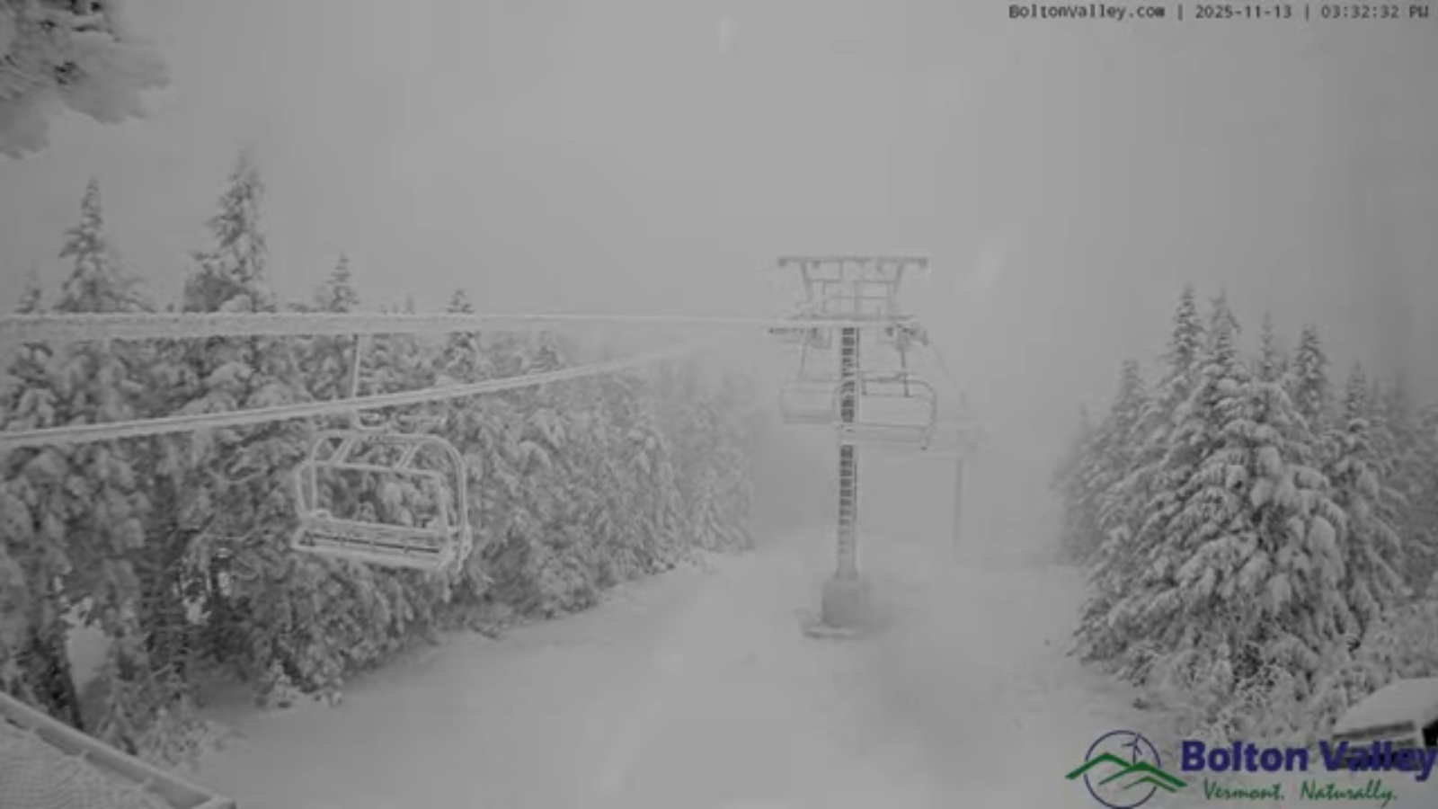
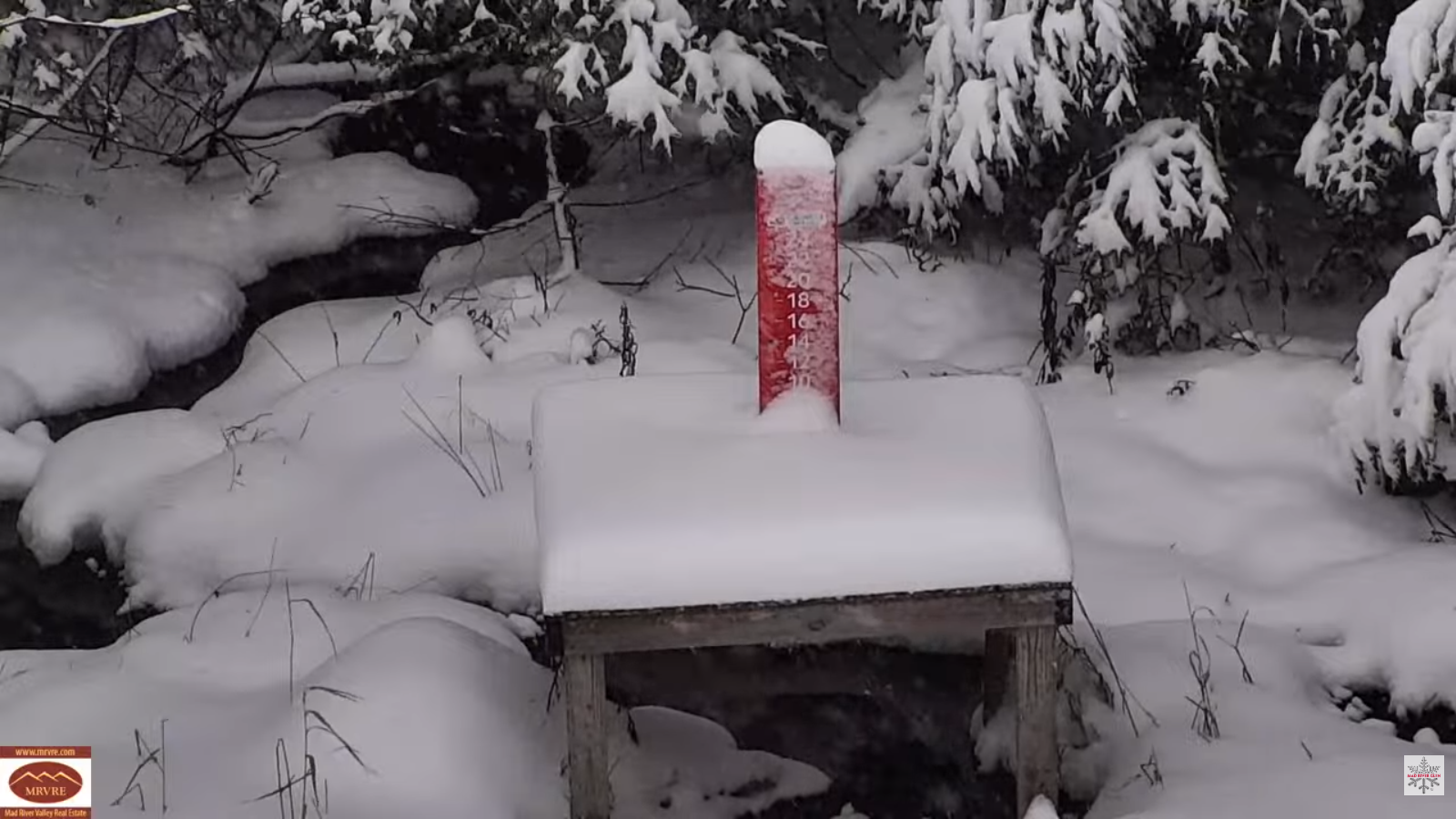
TONIGHT: Mostly cloudy. Widely scattered snow showers & flurries lingering near the mountains. Up to an inch northern Greens. A low in the mid to upper 20s. Light northwest winds.
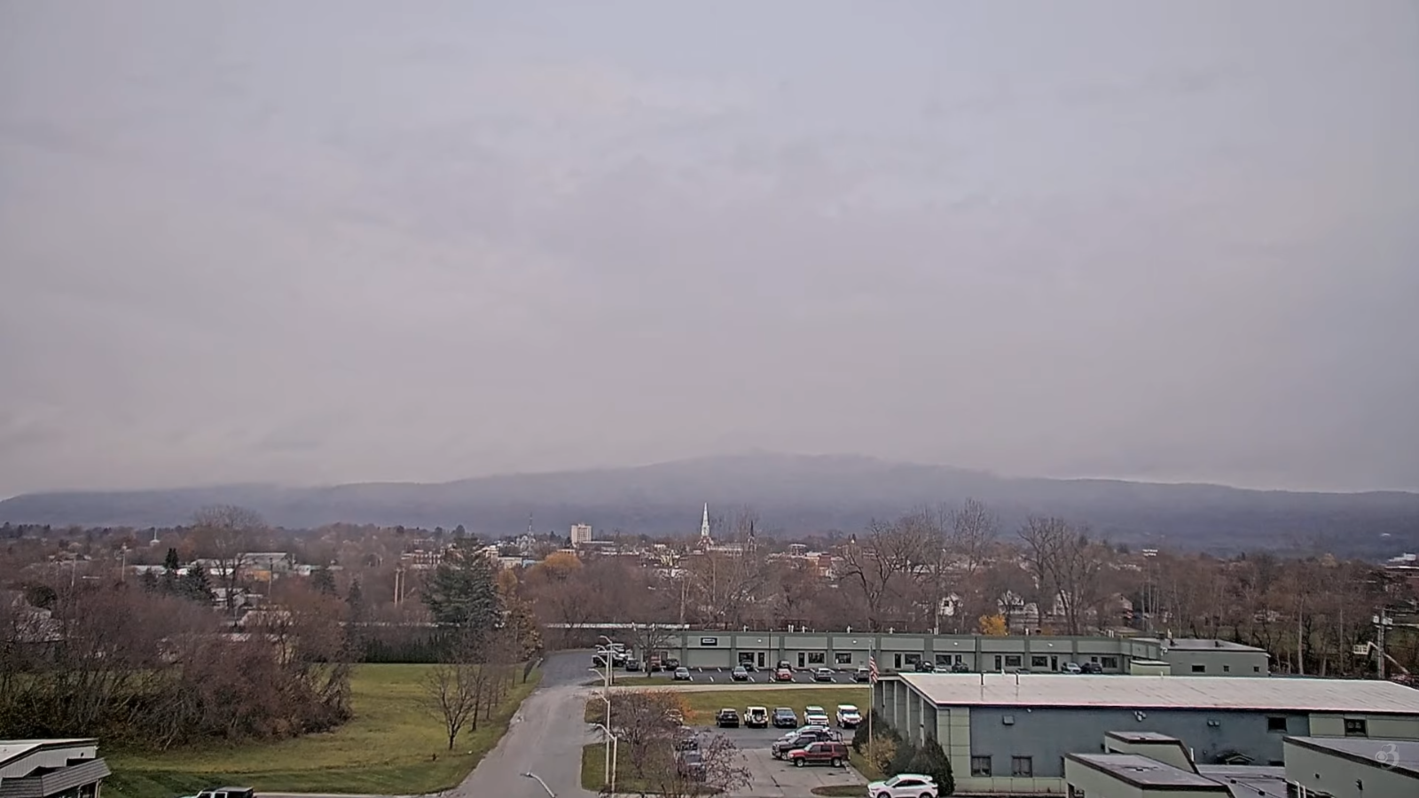
TOMORROW: Clouds mixing with breaks of sunshine. A few flurries continue mainly western slopes. A high in the mid-30s. Northwest winds 10 mph.

FRIDAY NIGHT: Mostly cloudy. A stray flurry or two. A low upper teens around 20. Light northwest winds.
SATURDAY: Partial sunshine then thickening clouds. A high 32 to 35. Light west winds.
Looking further ahead
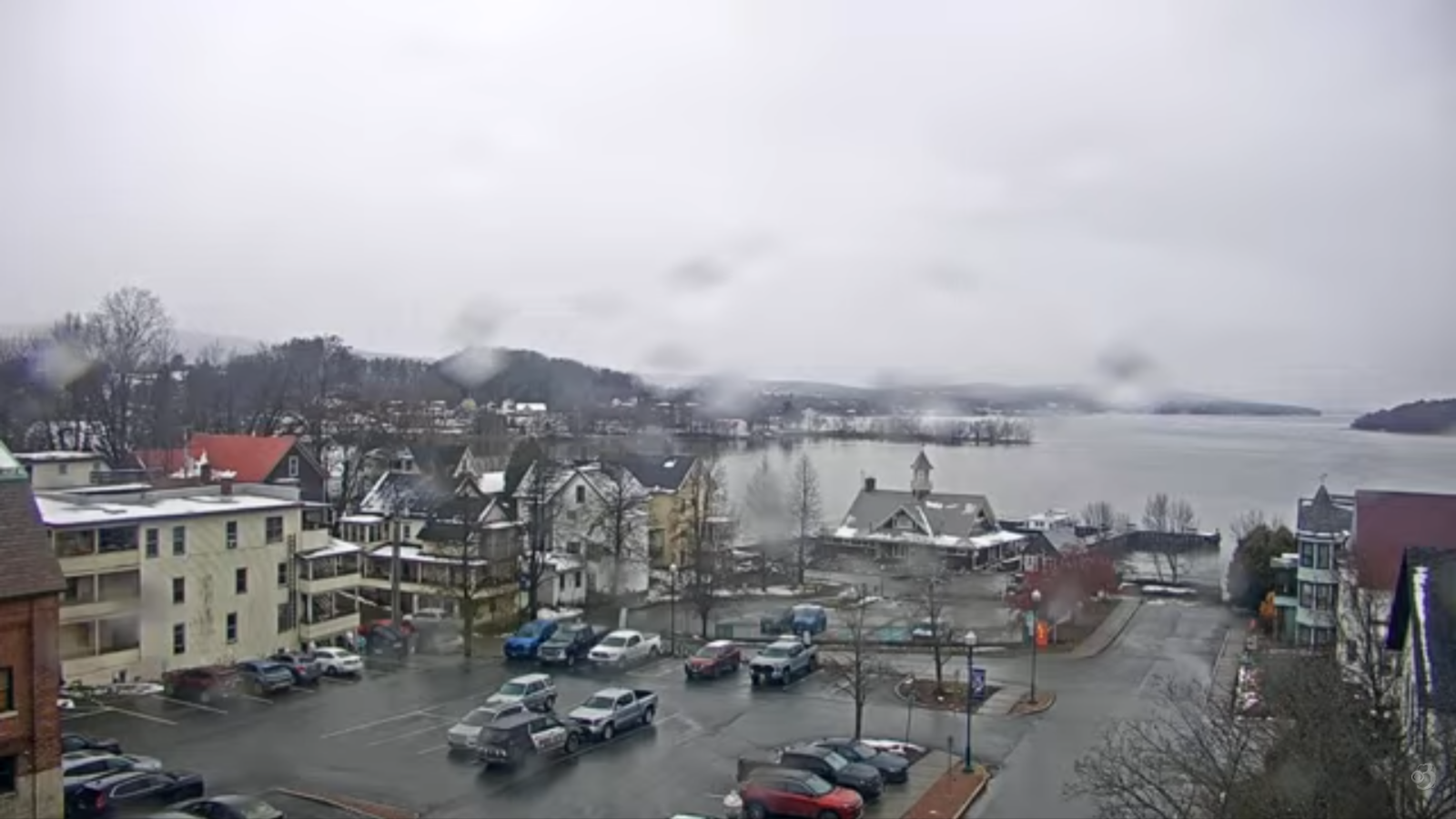
SATURDAY NIGHT: Overcast.Rising chance for a wintry mix with a period of slippery travel…mixing/changing to rain showers toward daybreak. Early lows 25 to 30.
SUNDAY: Gray and dreary. Chance for wet snow mixed with rain valley floors with a few inches accumulation in the mountains. Turning blustery late. Highs 35 to 40.
MONDAY: Cloudy. Scattered snow showers or flurries. Blustery northwest winds. Lows 20s. Highs around 30.
TUESDAY: Mostly cloudy. Chance for a few lingering snow showers. Lows upper 20s near 30. Highs in the 30s.
Average low: mid 20s to low 30s Average high: mid to upper 40s
Admin: Time off (no forecast) next week November 17th thru 21st.
Meteorological winter begins December 12th
RH/11-13/forecast][end] Fox Trot Delta Tango
