
Roger Hill’s Radio Vermont Forecast 3:00 PM MONDAY 11-10-25
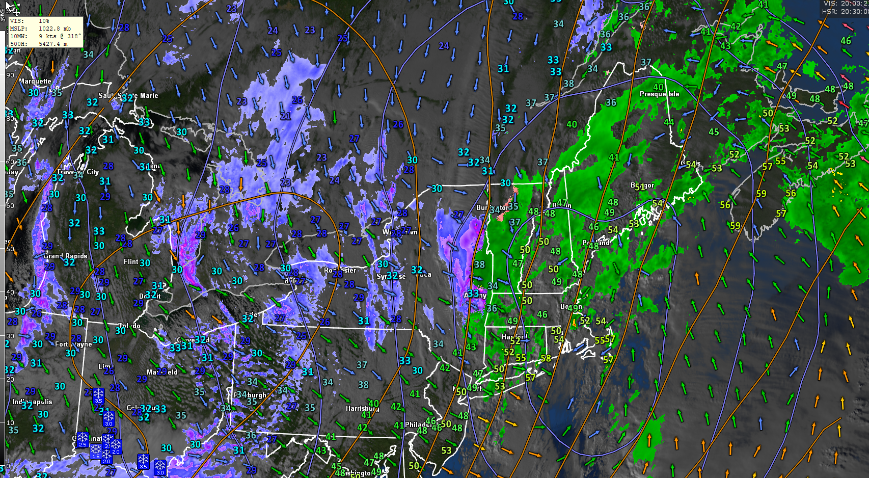
Winter Weather Advisory portions of northwestern Vermont thru 7 AM Tomorrow Morning…
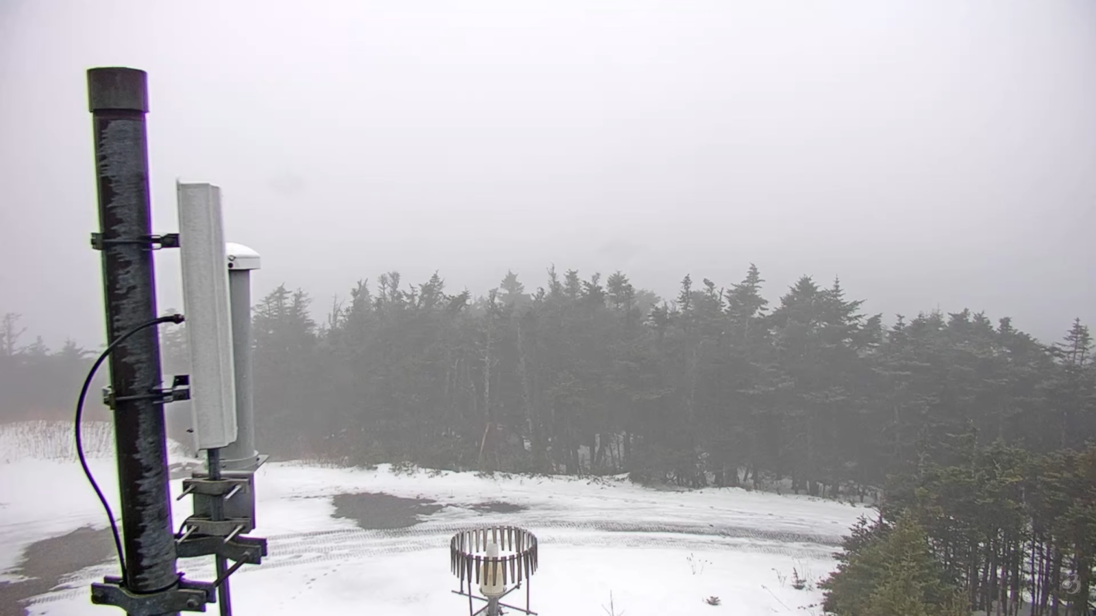
TONIGHT: Overcast.Rain showers…transitioning thru a wintry mix to accumulating snow, moderate for a time before tapering off overnight. Accumulation ranging about 1 to 5” with locally more Green Mountain summits.A low around 25.West to southwest winds 10 mph.
TOMORROW: Scattered snow showers redeveloping late morning on. Dusting to an inch. A high upper 20s to low 30s. Southwest winds 10 to 15 mph.
TUESDAY NIGHT: Lots of clouds. Scattered mountain flurries with a light coating in spots. A low in the mid-20s. Light west to southwest winds.
WEDNESDAY: Clouds with a few breaks of sun. Maybe a mountain flurry or two in the morning. A high mid to upper 30s. Light southwest winds stronger near Lake Champlain.
Looking further ahead
WEDNESDAY NIGHT: Mostly cloudy. Chance for a rain or snow shower. Little to no accumulation. A low mid to upper 20s.
THURSDAY: Partly to mostly cloudy. Chance for a mountain flurry. Little accumulation. A high mid to upper 30s.
FRIDAY: Mixed clouds and sun. Slight chance for a flurry. A low in the upper 20s. A high 32 to 35.
SATURDAY: Partly sunny with more clouds late. Lows 20 to 25. Highs around 35.
Average low: mid 20s to low 30s Average high: mid 40s to upper 40s
Admin: No forecast this Wednesday 12th of November
Admin: Time off (no forecast) next week November 17th thru 21st.
Meteorological winter begins December 12th
RH/11-6/forecast][end] Fox Trot Delta Tango
