

Roger Hill’s Radio Vermont Forecast 3:00 PM FRIDAY 11-7-25
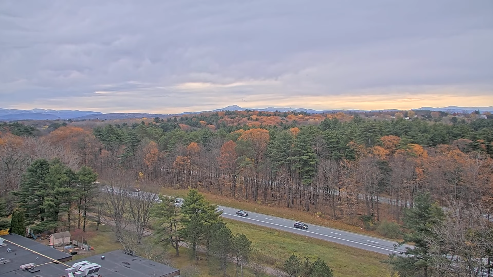
TONIGHT: Cloudy.Chance for light rain showers for a time this evening tapering off as a few sprinkles. Temperatures holding not far from 40. South winds 10 mph stronger across Lake Champlain.
TOMORROW: A round of scattered rain showers in the morning exits to intervals of sunshine in the afternoon.A high mid to upper 40s. Winds becoming northwesterly 10 to 20 mph.

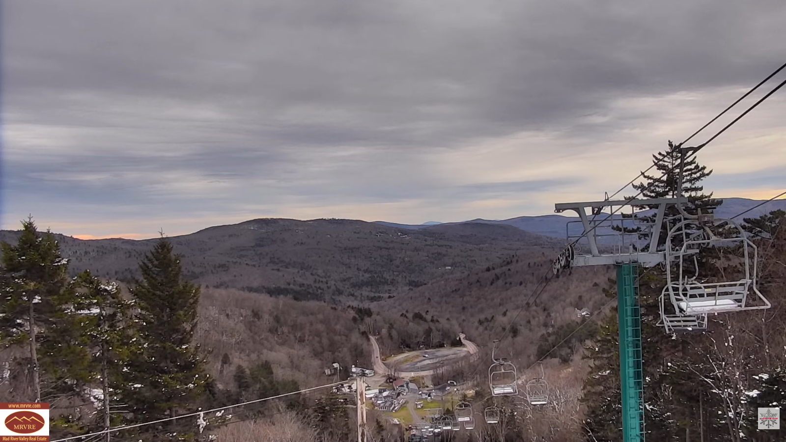
SATURDAY NIGHT: Mostly clear early, then thickening clouds. A low near 25. Light northeast winds.
SUNDAY: Gray. Wet snow becoming likely mid to late morning central & northern areas, before changing to rain showers…moderate at times in the afternoon. A high in the upper 30s. Light east to southeast winds.
Looking further ahead
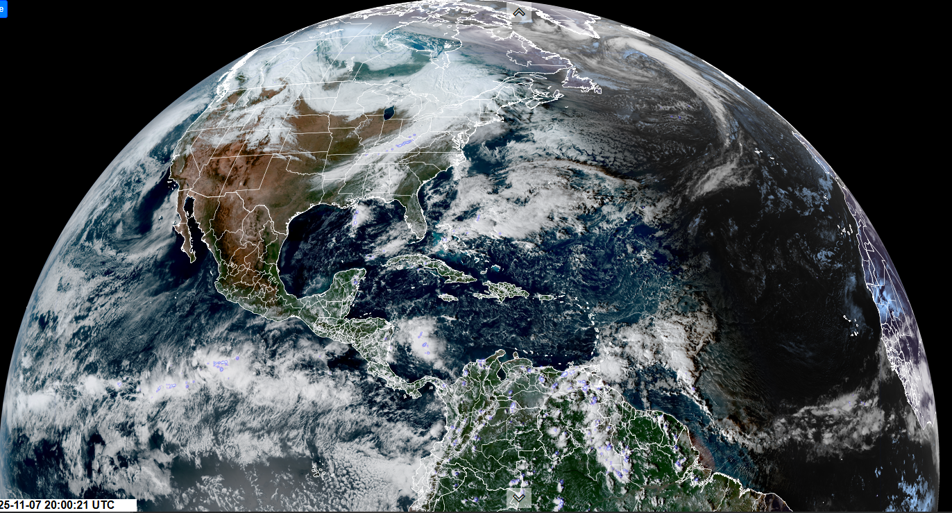
SUNDAY NIGHT: Lots of clouds. Good chance for more rain showers, moderate at times possibly mixed wet snowflakes. A low near 35.
MONDAY: Lots of clouds, continued damp. Chance for rain showers. A high around 45.
TUESDAY: Cloudy & perhaps wintry like. Chance for accumulating snow showers & flurries especially Green Mountains around an inch or two. Lows around 30. Highs 32 to 35

WEDNESDAY: Mainly gray. Continued chance for mixed rain & snow showers. Lows 20s. Highs 30s.
Average low: upper 20s to low 30s Average high: mid 40s to around 50
Admin: No forecast Wednesday 12th of November
Admin: Time off (no forecast) November 17th thru 21st.
Meteorological winter begins December 12th
RH/11-6/forecast][end] Fox Trot Delta Tango
