
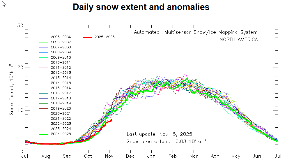
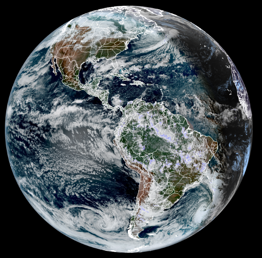
Not too good so far this winter North America…
Roger Hill’s Radio Vermont Forecast 3:00 PM THURSDAY 11-6-25
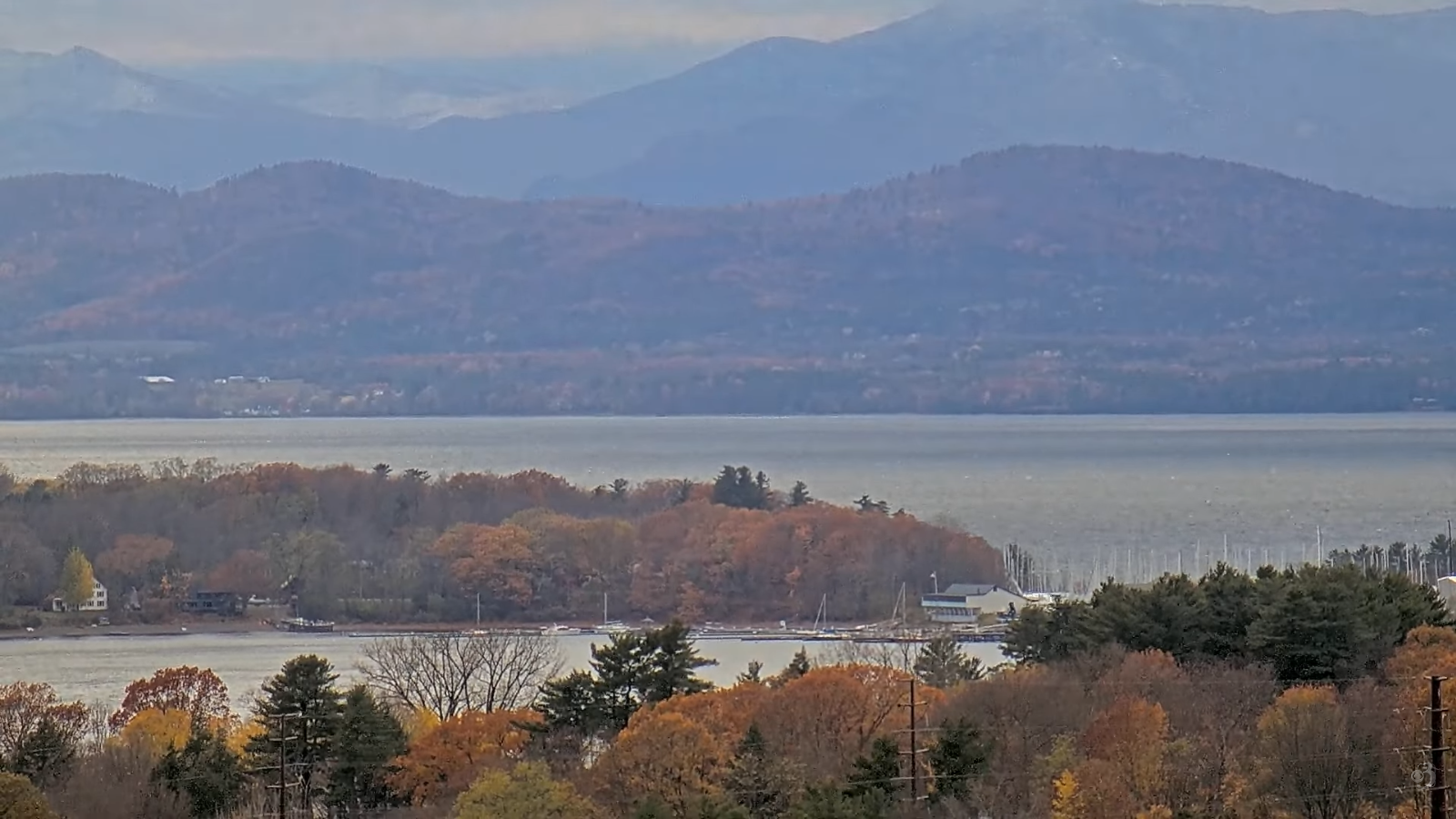
TONIGHT: Mostly clear & moonlit, clouding up toward daybreak. A freezing low 20 to 25. Light west winds
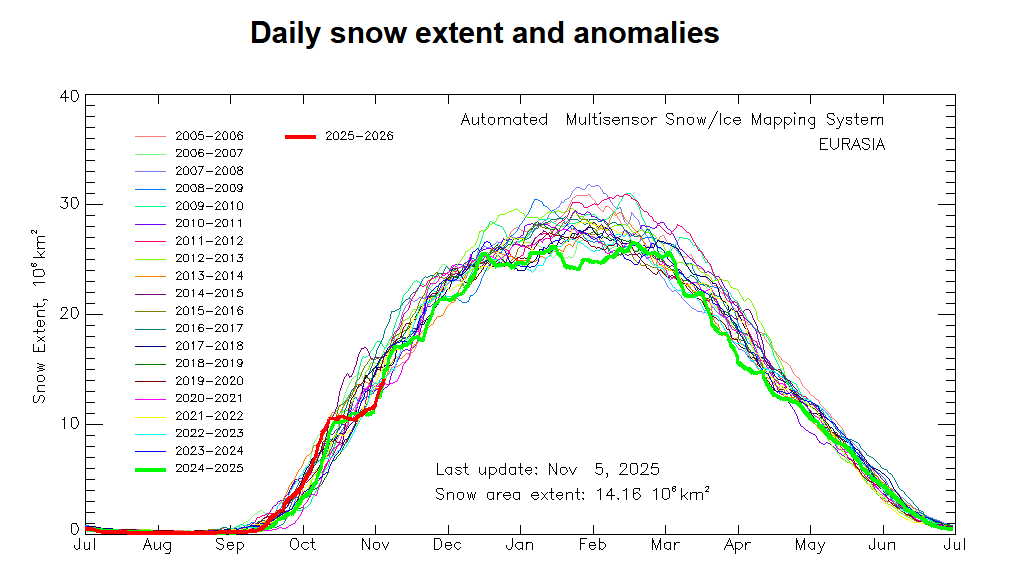
Weird start to winter in Eurasia…
TOMORROW: Generally gray. Rain showers likely by late in the day. A high 40 to 45. South winds 10 to 15 mph, stronger Lake Champlain.

FRIDAY NIGHT: Chance for light rain showers tapering off overnight. Lows around 40. South winds 10 to 15 mph stronger near the lake.
SATURDAY: Clouds mixing with intervals of sunshine. A round of scattered rain showers exits in the afternoon. Highs 45 to 50. Winds shifting to northwesterly 10 to 20 mph.
Looking further ahead

SATURDAY NIGHT: Thickening clouds. A low in the upper 20s.
SUNDAY: Gray. Good chance for rain showers, mixed with wet snow near the Quebec border. A high around 40.
MONDAY: Cloudy & wet. Chance for periods of rain or showers. Temperatures holding 40 to 45.
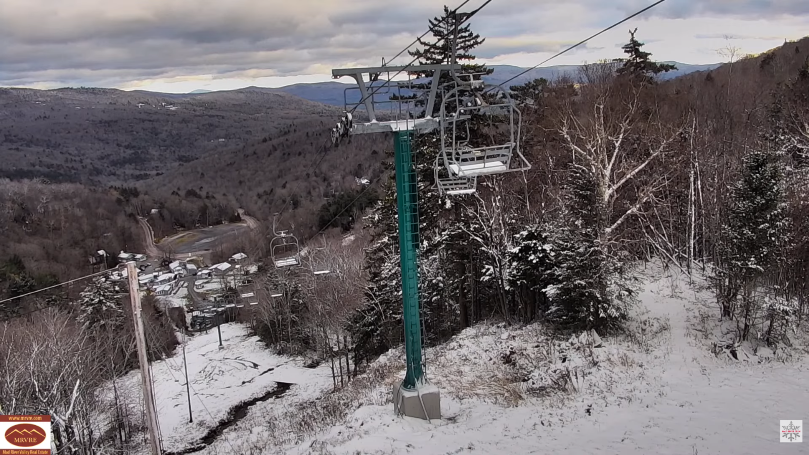
TUESDAY: Overcast. Chance for accumulating snow showers & flurries especially Green Mountains around an inch or two. Lows in the low 30s. Highs around 35.
Average low: upper 20s to low 30s Average high: mid 40s to around 50
Admin: No forecast Wednesday 12th of November
Admin: Time off (no forecast) November 17th thru 21st.
Meteorological winter begins December 12th
RH/11-6/forecast][end] Fox Trot Delta Tango
