
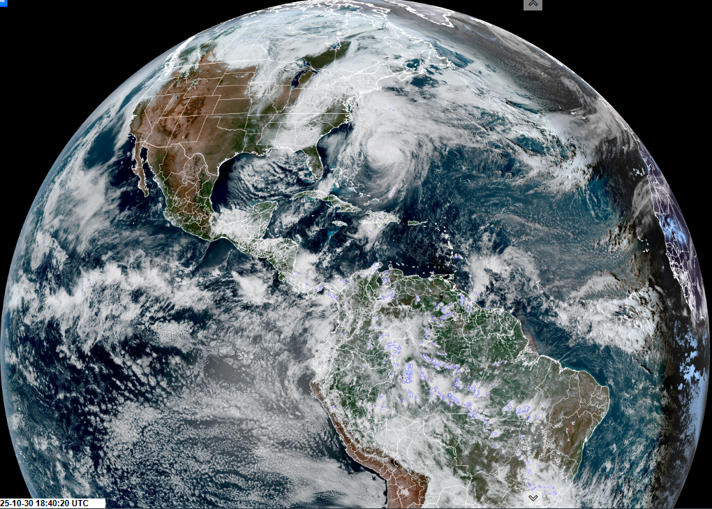
Roger Hill’s Radio Vermont Forecast 3:00 PM THURSDAY 10-30-25
Wind Advisory thru 5 AM western Green Mountain slopes…
TONIGHT: Overcast. Periods of rain or showers redeveloping, moderate at times. Breezy to windy at times this evening. Temperatures holding in the 40s. East to southeast winds 10 to 20 mph and locally stronger western slopes, decreasing overnight.
TOMORROW: Mainly gray. Lingering showers. A high 50 to 55. Blustery, southwest winds 10 to 25 mph with higher gusts.
FRIDAY NIGHT Halloween Eve: Cloudy & breezy to windy at times. Good chance for showers mixing with wet snow with a light coating grassy surfaces higher terrain. A low in the mid-30s. Winds shifting to west northwesterly 10 to occasionally 25 mph.
SATURDAY: Any morning rain or wet snow showers exits early. Otherwise intervals of sun central and southern areas. Blustery remaining chilly. A high 40 to 45. Northwest winds 10 to 20 mph.
Looking further ahead
Eastern Standard Time (fall back)
SATURDAY NIGHT: Partly cloudy. Lows upper 20s.

SUNDAY: Mostly cloudy, then increasing afternoon sun. Highs around 45.
MONDAY: Morning sun gives way to lots of clouds. Rising chance for showers possibly moderate at times arrives toward dark. Lows 25 to 30. Highs mid to upper 40s.
TUESDAY: Scattered morning rain showers becoming isolated, with a few breaks of afternoon sun. Lows mid to upper 30s. Highs 45 to 50.
Average low: upper 20s to low 30s Average high: upper 40s to mid-50s.
Full Beaver Moon Wednesday November 5th, at 8:19 AM
Admin: Time off (no forecast) November 17th thru 21st.
Meteorological winter begins December 12th
RH/10-30/forecast][end] Fox Trot Delta Tango
