
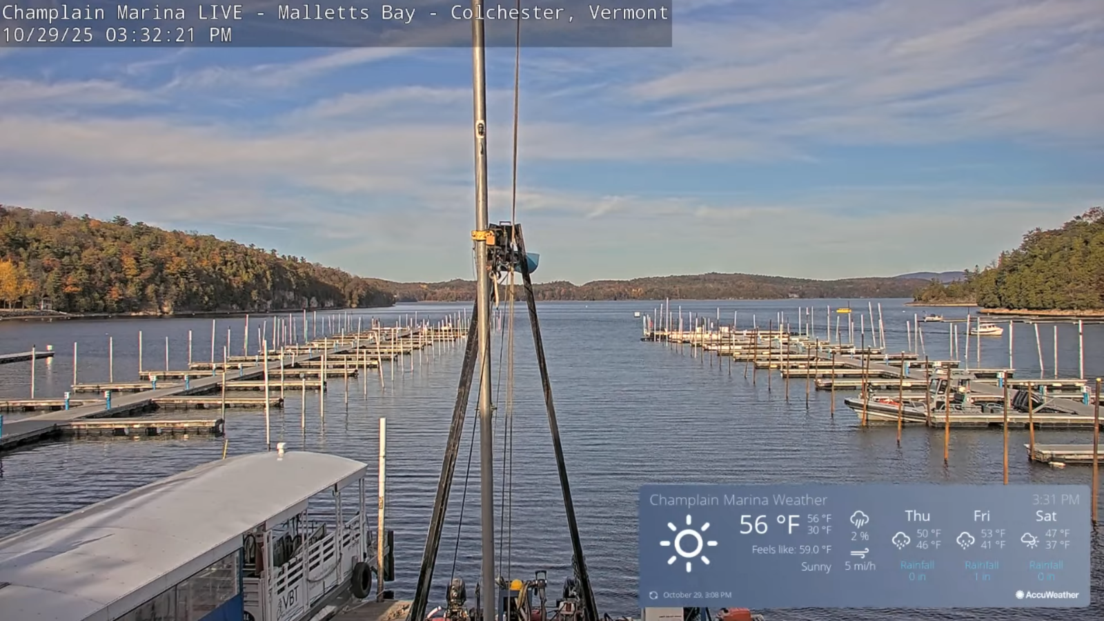
Roger Hill’s Radio Vermont Forecast 3:00 PM WEDNESDAY 10-29-25
TONIGHT: Fair early then thickening clouds overnight. A low around 32. Light southeast winds.
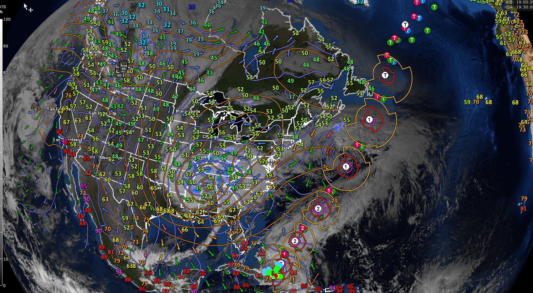
TOMORROW: Mainly gray & blustery. A round of showers in the morning, followed by a break with more showers arriving later on. A high upper 40s near 50. East to southeast winds 10 to 15 mph stronger southern areas.

THURSDAY NIGHT: Overcast. Periods of rain or showers likely, moderate at times. Windy at times. Temperatures holding 45 to 50. East to southeast winds 10 to 25 mph and gusty higher terrain.
FRIDAY Halloween: Unsettled with lots of clouds. Widely scattered showers. A high in the mid-50s. Windy again, southwest winds 10 to 20 mph with higher gusts.
Looking further ahead
FRIDAY NIGHT: Lots of clouds. Good chance for showers mixing with wet snow flakes northern mountains. Lows around 35.
SATURDAY: Clouds…maybe a break of sun. Any morning rain showers or wet snowflakes exits early. Highs mid-40s.
Eastern Standard Time (fall back)
SUNDAY: More sun than clouds. Maybe a sprinkle or wet snowflake northern Greens. Lows around 30. Highs around 45.
MONDAY: Morning sun gives way to afternoon clouds. Lows 25 to 30. Highs in the 40s.
Average low: upper 20s to low 30s Average high: upper 40s to mid-50s.
Full Beaver Moon November 5th, at 8:19 AM
Admin: Time off (no forecast) November 17th thru 21st.
Meteorological winter begins December 12th
RH/10-28/forecast][end] Fox Trot Delta Tango
