
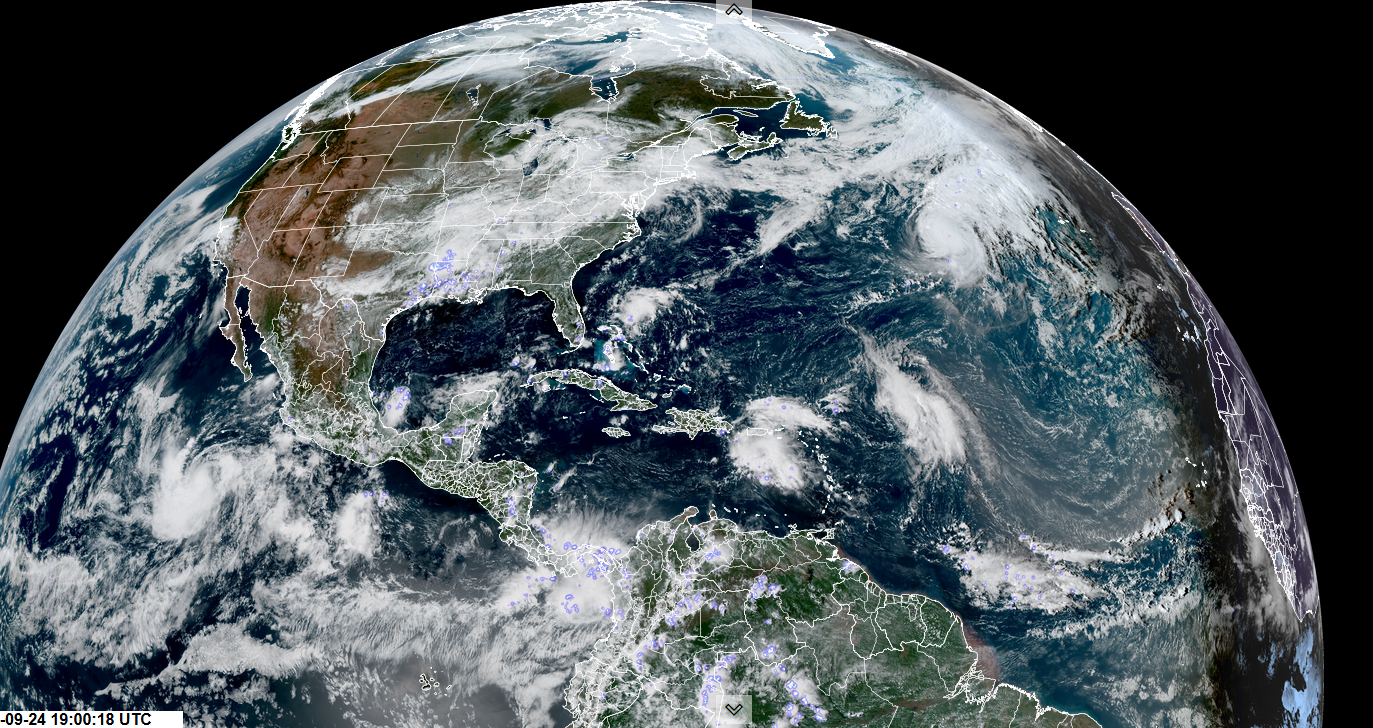
Roger Hill’s Radio Vermont Forecast 3:00 PM WEDNESDAY 9-24-25
TONIGHT: Lots of clouds. Showers likely southern/western areas, with a chance northern areas. Patchy valley fog. A low mid to upper 50s. Southeast winds 10 mph.
TOMORROW: Mainly gray. Chance for showers, perhaps moderate with a rumble or two of thunder. A high around 65 and humid. Southeast breeze 10 mph.
THURSDAY NIGHT: Considerable clouds. Maybe a brief shower. Patchy valley fog. A low in the upper 50s near 60. Light southwest winds.
FRIDAY: Mixed clouds and sun. Maybe few sprinkles. A high in the low 70s. Northwest winds 10 mph.
Looking further ahead
FRIDAY NIGHT: Partly cloudy. Patchy valley fog. Lows mid to upper 40s
SATURDAY: Morning fog then partly to mostly sunny. Highs near 70.
SUNDAY: Mostly sunny after morning fog. Lows upper 40s around 50. Highs around 75.
MONDAY: Mostly sunny after morning fog. Lows 50 to 55. Highs 65 to 70.
Average low: low to mid 40s. Average highs: mid 60s.
Full Hunters Moon Tuesday October 7th, 4:48 AM
Meteorological winter begins December 12th
RH/9-23/forecast][end]
