
Roger Hill’s Radio Vermont Forecast 3:00 PM TUESDAY 9-23-25
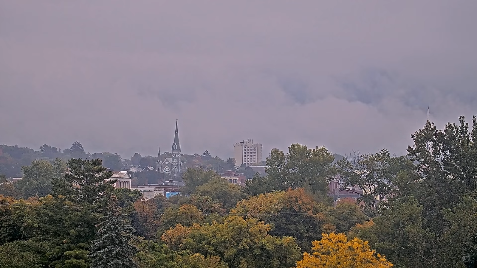
TONIGHT: Chance for showers far southern areas, otherwise cloudy, with areas of dense fog. A low mid to upper 50s. Little wind.
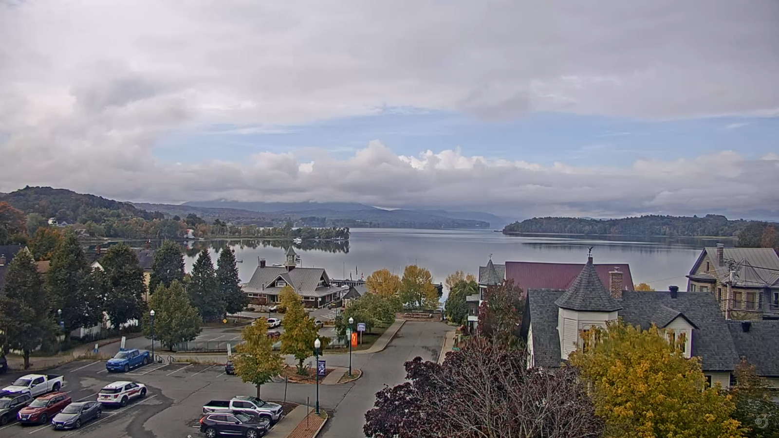
TOMORROW: Gray. Slight chance for an afternoon shower. A high upper 60s around 70. Light southeast winds.
WEDNESDAY NIGHT: Cloudy. Showers likely redeveloping overnight, moderate at times. Patchy valley fog. A low mid to upper 50s. Southeast winds 10 mph.
THURSDAY: Mainly gray. Chance for showers, some moderate with a possible embedded thunderstorm. A high around 65 and humid. South to southeast breeze 10 to 15 mph.

Looking further ahead
THURSDAY NIGHT: Considerable clouds. Scattered light showers. Patchy valley fog. A low in the upper 50s to low 60s.
FRIDAY: Clouds mixed with intervals of sun. Possible sprinkle. A high close to 70.
SATURDAY: Morning fog then mixed sun and clouds. Lows 50 to 55. Highs 70 to 75.
SUNDAY: Variably cloudy after morning fog. Maybe a light passing shower. Lows around 55. Highs 70 to 75.

Average low: low to mid 40s. Average highs: mid 60s.
Full Hunters Moon Tuesday October 7th, 4:48 AM
Meteorological winter begins December 12th
RH/9-23/forecast][end]
