
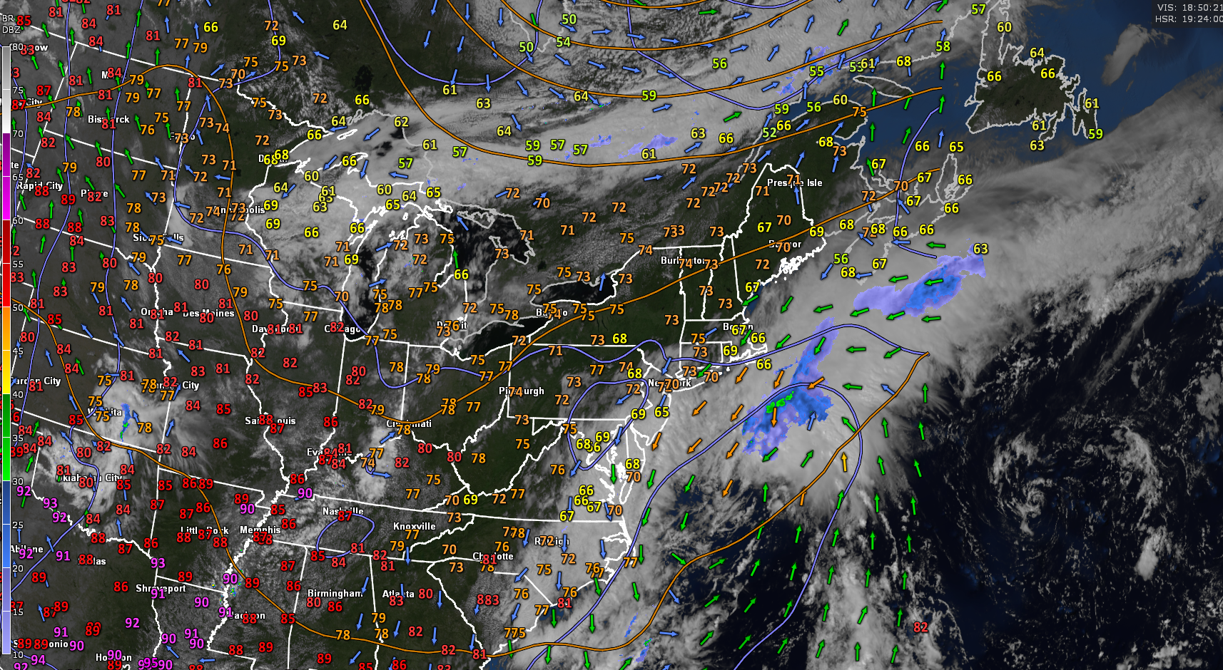
Roger Hill’s Radio Vermont Forecast 3:00 PM WEDNESDAY 9-10-25
TONIGHT: Clear partially moonlit with a few high clouds. Isolated valley fog. A low around 45. Light variable winds.
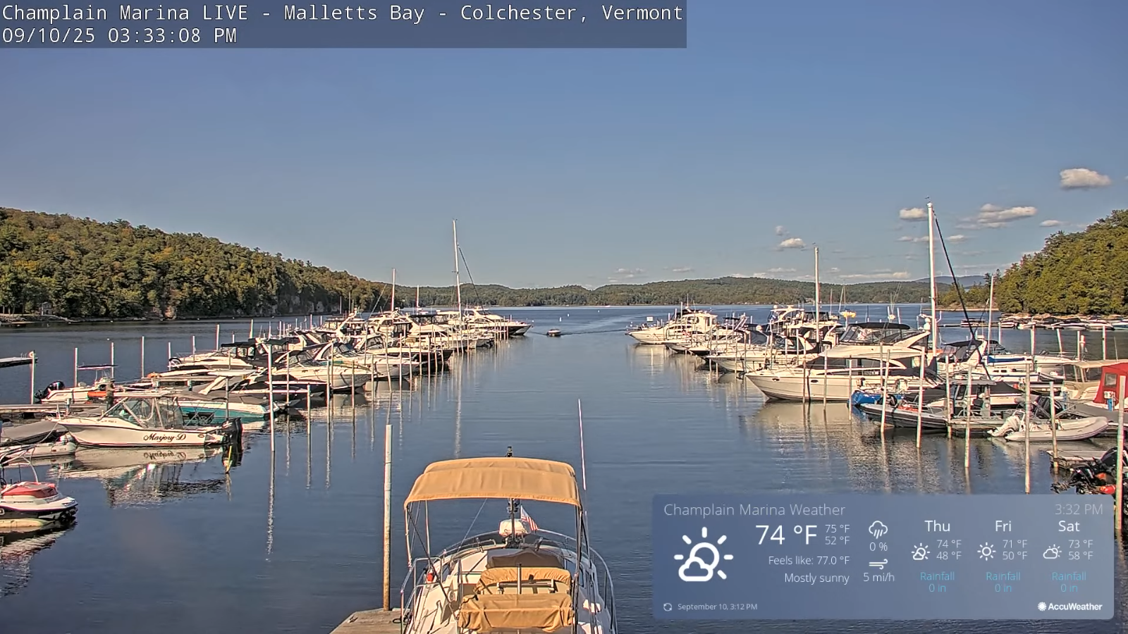
TOMORROW: Sunshine mixed with period of afternoon clouds. A high in the lower 70s. North to northwest breeze developing 10 to 15 mph.
THURSDAY NIGHT: Clear partially moonlit. Valley fog. A low around 45. Little wind.
FRIDAY: Sunny a little cooler. Highs mid to upper 60s. Light northwest winds.
Looking further ahead
FRIDAY NIGHT: Fair & cool with some high clouds. Patchy valley fog. Lows 40 to 45.
SATURDAY: Morning valley fog, then filtered sun gives way to lots of clouds. Rising chance for showers Saturday evening. Highs around 70.
SUNDAY: Mainly gray. Chance for showers with a risk of thunder. Lows 50 to 55. Highs 60s.
MONDAY: Morning clouds & fog followed by increasing sunshine. Lows 50 to 55. Highs upper 60s.
Average low: mid 40s to low-50s. Average highs: lower 70s.

Autumnal Equinox September 22nd.
Meteorological winter begins December 12th
RH/9-10/forecast][end]
