

Roger Hill’s Radio Vermont Forecast 3:00 PM THURSDAY 9-4-25
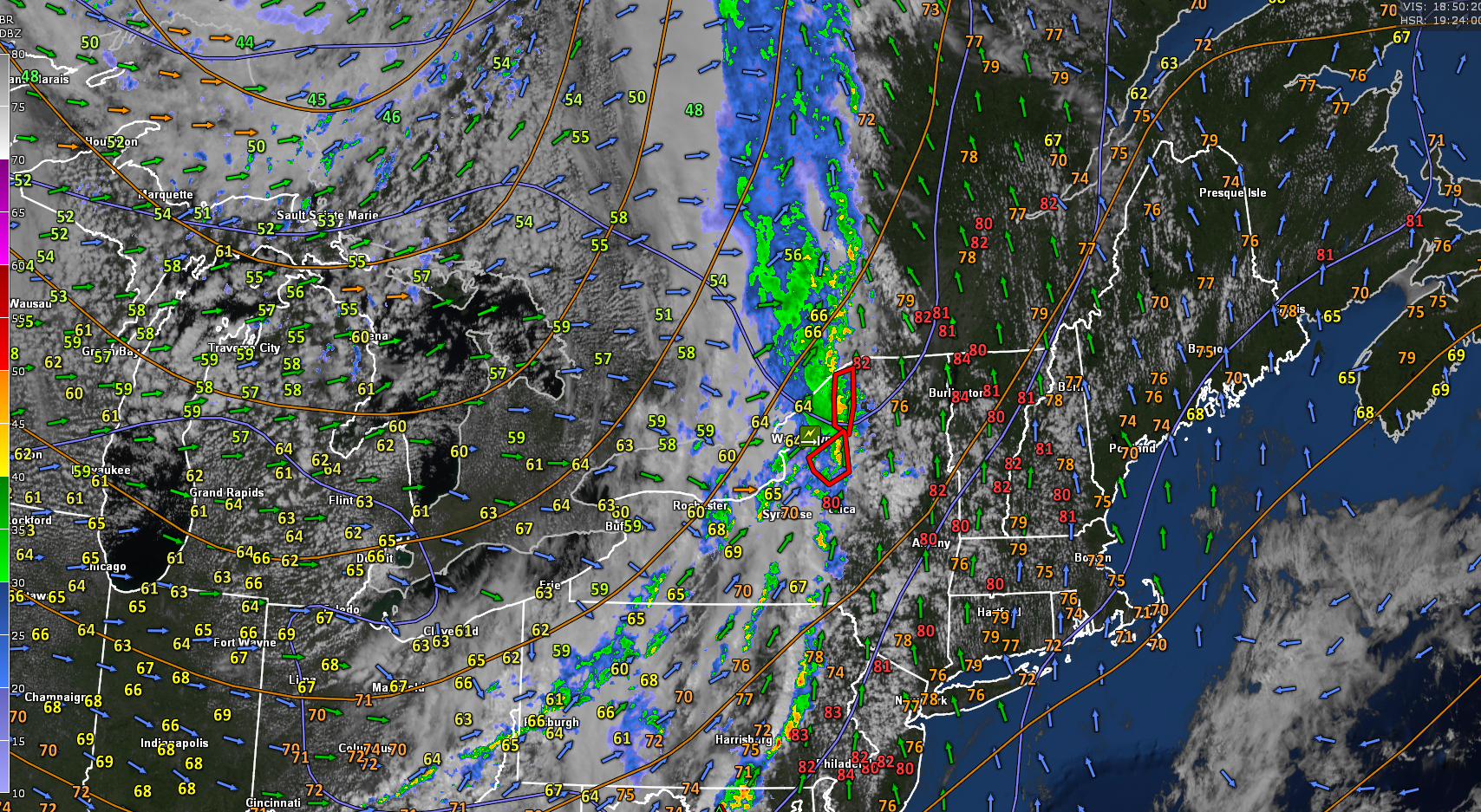
TONIGHT: Cloudy. Numerous showers, some moderate to heavy. Valley fog. A low in the upper 50s. South winds 10 to 15 mph falling off overnight.
End of Meteorological Summer Friday (Warmest 90-day period)
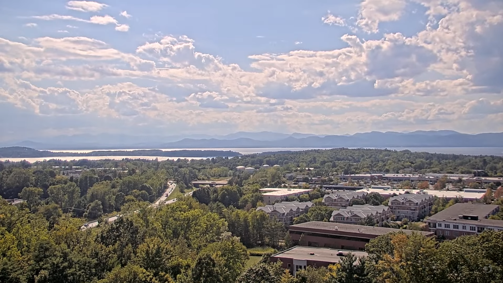
TOMORROW: Widely scattered morning showers exitingto intervals afternoon sunshine. Muggy. A high around 75. Southwest breeze in the afternoon 10 to 20 mph.
FRIDAY NIGHT: Fair early, then clouding up. A rising chance for light showers or sprinkles. Damp, Patchy valley fog. A low in the lower 60s. Light southwest winds.
SATURDAY: Gray. Good chance for periods of rain developing…possibly heavy, with a risk of thunder. Wet and clammy. Highs mid 60s near 70 warmer south. Light southwest winds becoming northwesterly in the afternoon.
Looking further ahead

SATURDAY NIGHT: Cloudy. Chance for lingering rain or showers…possibly moderate to heavy. Areas of fog. Lows 50 to 55.
SUNDAY: Mixed sun & clouds. Kind of humid, but fresher toward evening. Highs around 65.

MONDAY: Valley fog then partly to mostly sunny. Cool. Lows mid-40s. Highs 60 to 65.
TUESDAY: Sunny after morning fog. Lows upper 30s to mid-40s. Highs in the 60s.

Average low: upper 40s to mid-50s. Average highs: 70 to 75
Full Harvest Moon 2:09 PM Sunday September 7th
Autumnal Equinox September 22nd.
Meteorological winter begins December 12th

RH/9-2/forecast][end]
