
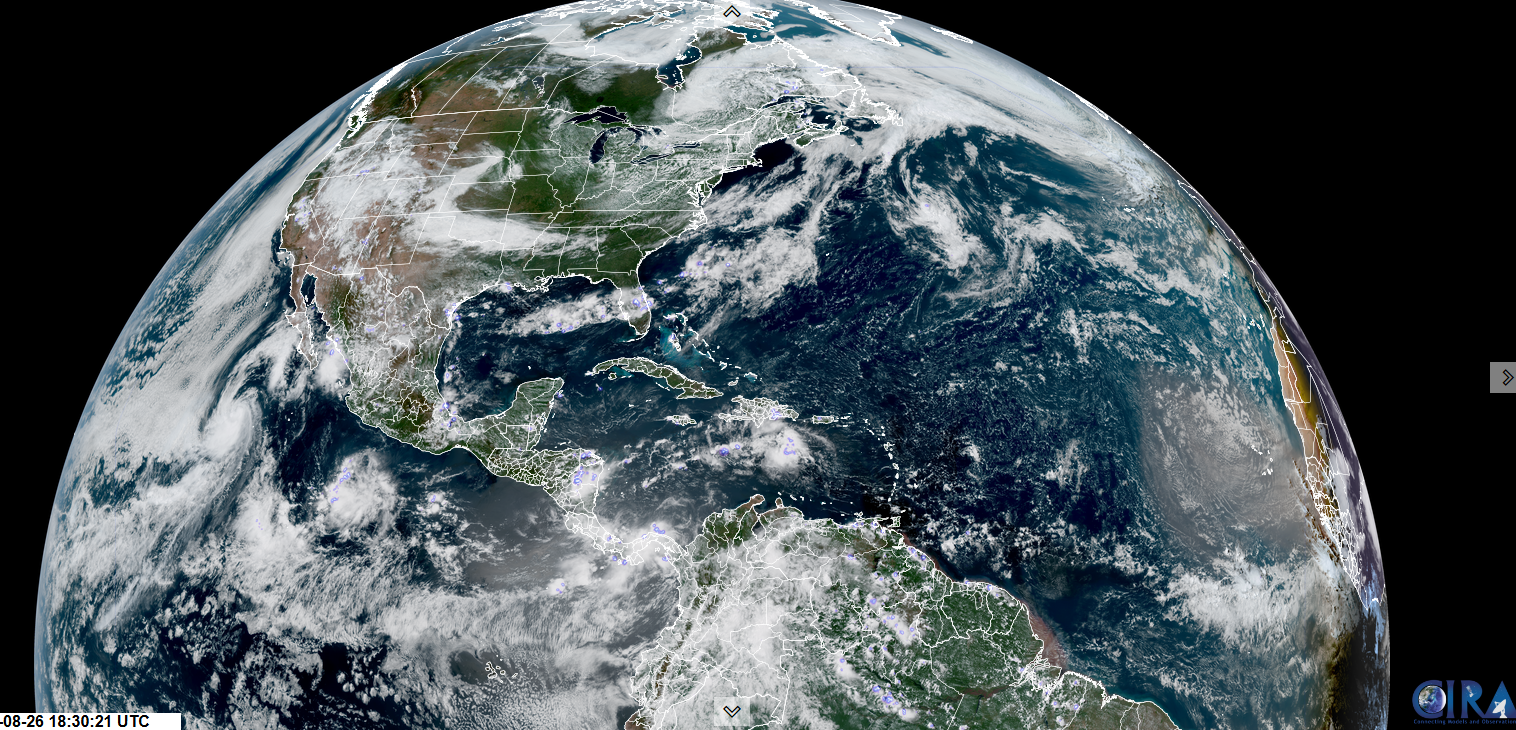
Roger Hill’s Radio Vermont Forecast 3:00 PM TUESDAY 8-26-25
TONIGHT: Clear, with more clouds overnight, sprinkles possible western areas. A low mid to upper 40s. Light west winds.
TOMORROW: More sun than clouds. Good chance for showers, maybe a rumble of thunder. A high in the mid-60s. Northwest winds 10 mph.
WEDNESDAY NIGHT: Mostly clear. A low in the upper 40s. Light southwest winds.
THURSDAY: Morning sun becoming filtered with high clouds. A high 70 to 75. South to southwest winds 10 mph.
Looking further ahead
THURSDAY NIGHT: Thickening clouds. A low around 55.
FRIDAY: Variable cloudiness. Chance for showers, with rumbles of afternoon thunder. Highs mid to upper 60s.
SATURDAY: Partly to mostly cloudy. Widely scattered mainly afternoon showers and isolated thunderstorms. Lows 45 to 50. A high mid-60s.
SUNDAY: Morning fog, then partly sunny. A low mid to upper 40s. A high near 70.
Average low: 50 to 55. Average highs: mid 70s.
End of Meteorological Summer September 5th
Full Harvest Moon 2:09 PM Sunday September 7th
RH/8-25/forecast][end]
