
Roger Hill’s Radio Vermont Forecast 3:00 PM WEDNESDAY 8-20-25
TONIGHT: Clear & chilly. A low mid to upper 40s. Little wind.
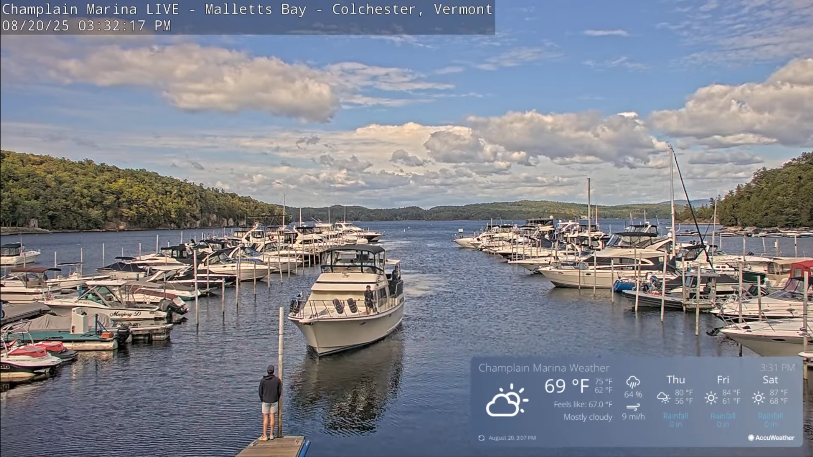
TOMORROW: Lots of sun with a more clouds late. Warming trend. A high about 75. Light east winds.

THURSDAY NIGHT: Clear and cool. A low upper 40s around 50. Light northeast winds.
FRIDAY: Sunshine with a few more afternoon clouds. A high upper 70s near 80. North breeze 10 mph.
Looking further ahead
FRIDAY NIGHT: Mostly clear. A low around 55.
SATURDAY: Sunny with afternoon clouds. A high in the lower 80s.
SUNDAY: Partly to mostly cloudy with a threat of a shower. Showers & possible thunderstorms pick up toward evening. A low in the low 60s. A little muggier with a highs about 75.
MONDAY: Mixed clouds and sun. Scattered showers, maybe an afternoon thunderstorm. Lows near 60. Highs near 75.
Average low: 50 to 55. Average highs: mid to upper 70s.
End of Meteorological Summer September 5th
Full Harvest Moon 2:09 PM Sunday September 7th
RH/8-20/forecast][end]
