
-

- i m a g e 3 9
-

- i m a g e 4 0
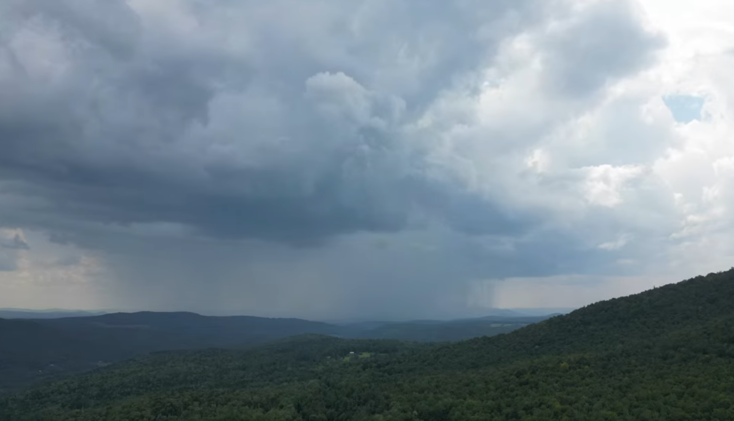
Roger Hill’s Radio Vermont Forecast 3:00 PM WEDNESDAY 8-13-25
TONIGHT: Mostly cloudy. Isolated showers, maybe a thunderstorm western areas. A low around 65. Light southwest winds.
TOMORROW: Morning clouds, maybe an isolated shower or two, then increasing late afternoon sunshine. A high around 80, less humid in the afternoon. Winds becoming north to northwesterly 10 mph.
RSDAY NIGHT: Clear & partially moonlit. A low in the mid-50s. Light north winds.
FRIDAY: Sunny & a beauty. Not so muggy. A high in the lower 80s. Light north winds.
Looking further ahead
FRIDAY NIGHT: Mostly clear. A low in the mid to upper 50s.
SATURDAY: Nice warm sunny summer day. Low to moderate humidity. Highs near 85.

SUNDAY: Sunshine, then more late afternoon clouds. Scattered showers with a risk of thunderstorms northern areas late. Lows around 65. Highs 85 to 90. Breezy northwest winds.
MONDAY: Mixed sun and clouds. Lows 55 to 60. Much cooler & less humid. Highs around 75.
Average low: ranging thru the 50s. Average highs: mid 70s to 80.
End of Meteorological Summer September 5th

RH/8-13/forecast][end]
