
Roger Hill’s Radio Vermont Forecast 3:00 PM TUESDAY 8-12-25
Heat Advisory Champlain Valley thru early Wednesday…
TONIGHT: Clear skies. A low in the mid-60s. Light southwest winds.
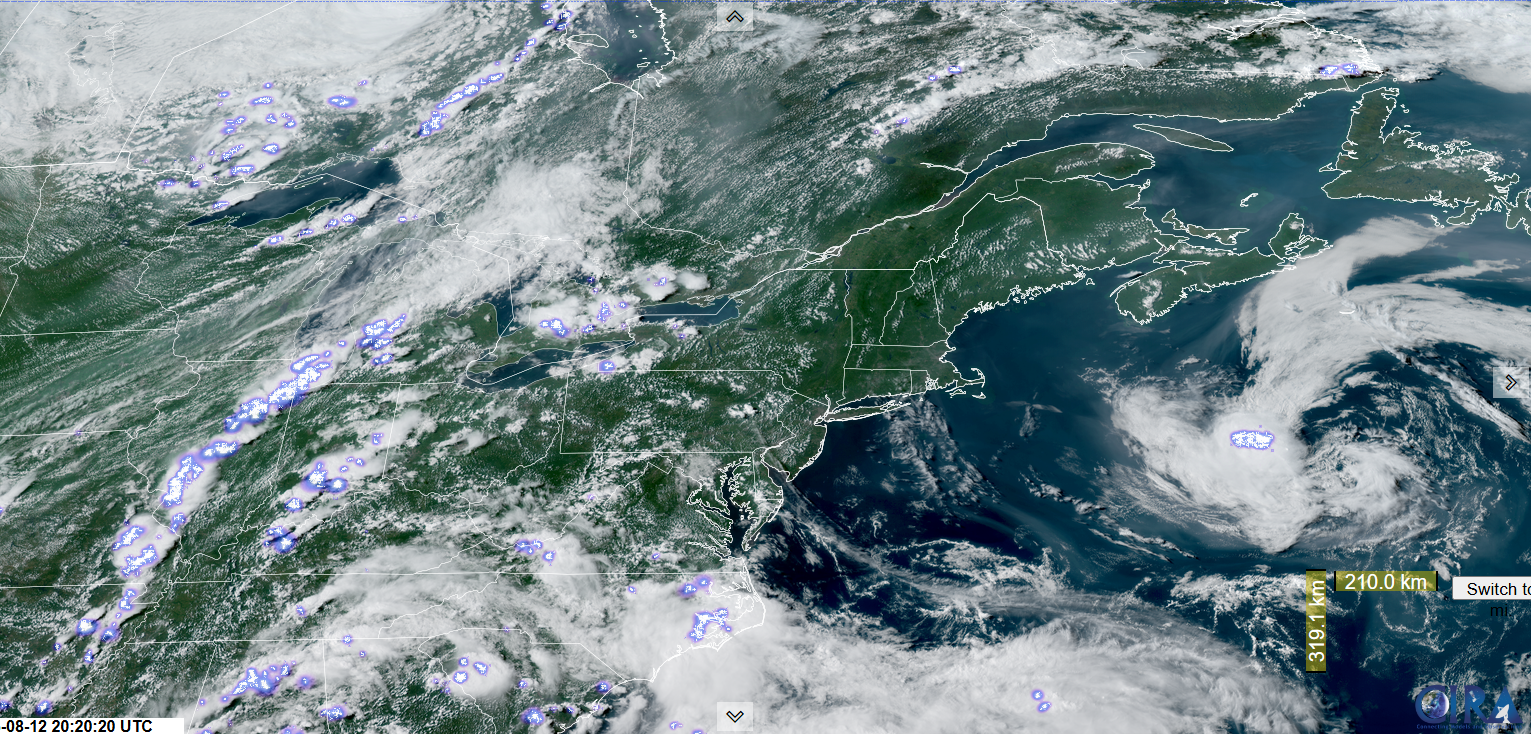
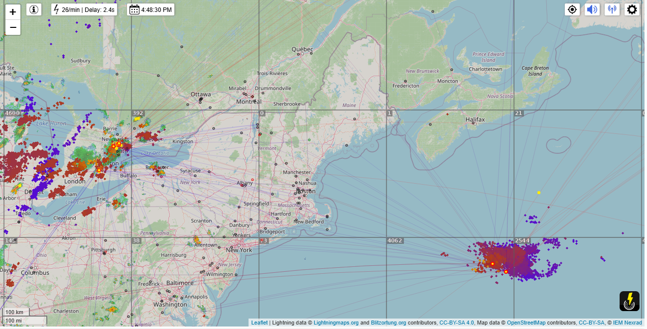
TOMORROW: Sunshine gives way to more cloudiness in the afternoon. Widely scattered hit and miss late afternoon showers & thunderstorms. Muggy. A high around 90. Southwest breeze 10 mph.
WEDNESDAY NIGHT: Variable cloudiness. Isolated showers & a risk for a thunderstorm northwestern Vermont. A low around 65. Light southwest winds.
THURSDAY: Morning clouds. Isolated to widely scattered showers and a few thunderstorms mainly southern areas. A high 80 to 85. Winds becoming light northwesterly.
Looking further ahead
THURSDAY NIGHT: Evening clouds then clearing. A low mid to upper 50s.
FRIDAY: Sunny & not so muggy. A high around 80.
SATURDAY: Sunshine, with more clouds late. Rising chance for late day showers & risk of thunderstorms. A lows 50s. Highs near 85.
SUNDAY: Chance for a shower early then partial or better sunshine and much less humid. Lows around 60. Highs in the 70s. Breezy northwest winds.
Average low: ranging thru the 50s. Average highs: mid 70s to 80.
End of Meteorological Summer September 5th
RH/8-12/forecast][end]
