
Roger Hill’s Radio Vermont Forecast 3:00 PM MONDAY 8-4-25
TONIGHT: Maybe an isolated shower far north early. Otherwise high cloudiness & hazy. A low 55 to 60. Light northeast wind.
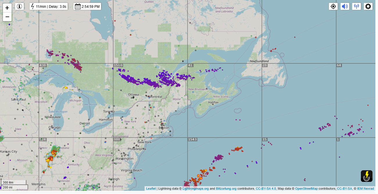
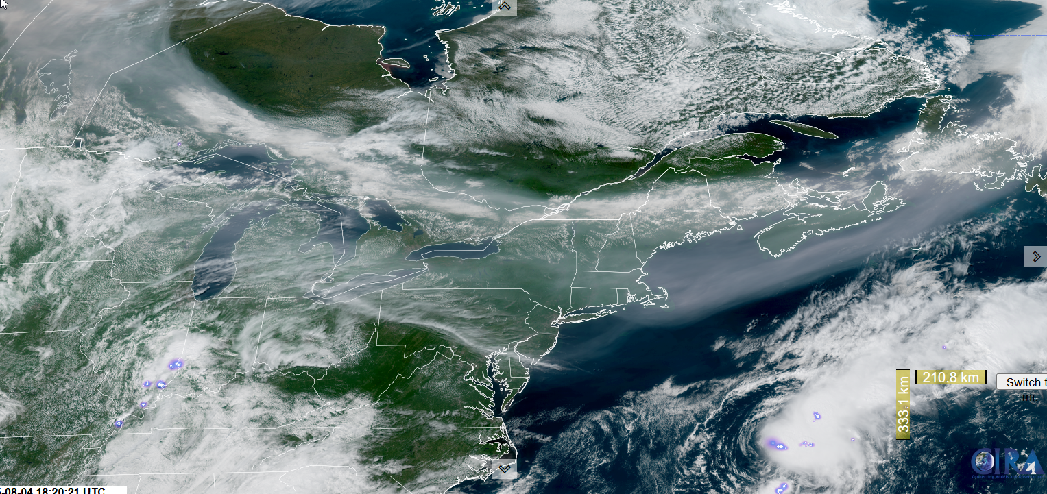
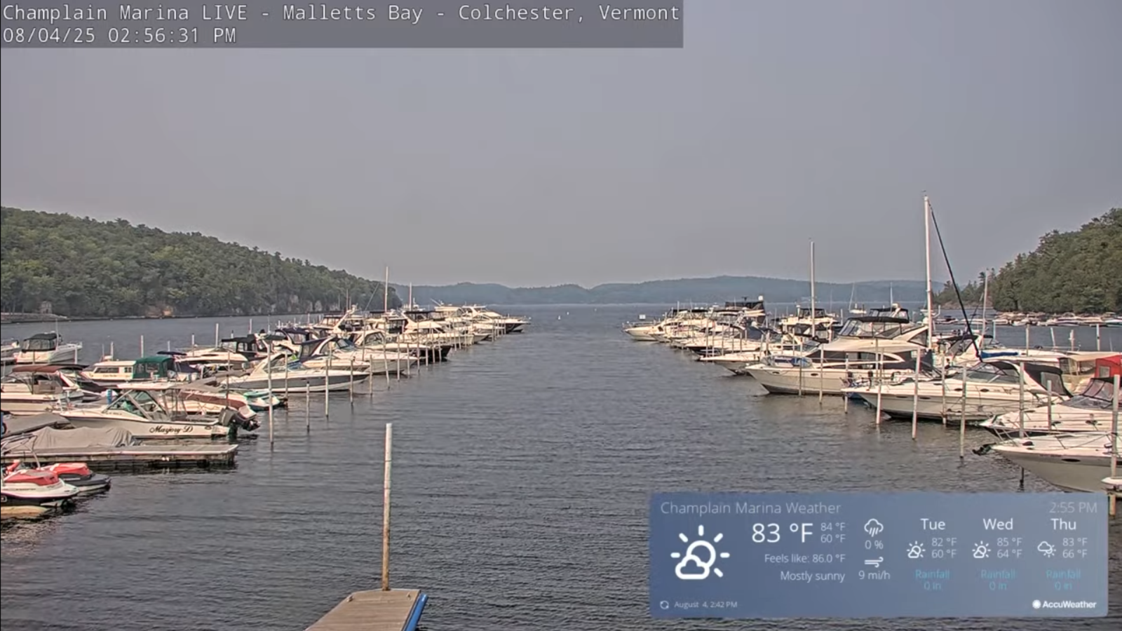
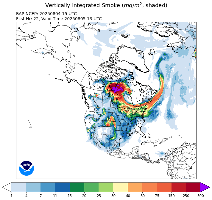
TOMORROW: Lots of sunshine but smoky, due Canadian wildfires. Slight chance for a late day shower or thunderstorm southern areas. A little less humid with high around 80. Light northeast winds.
TUESDAY NIGHT: Clear & hazy.A low upper 50s. Little wind.
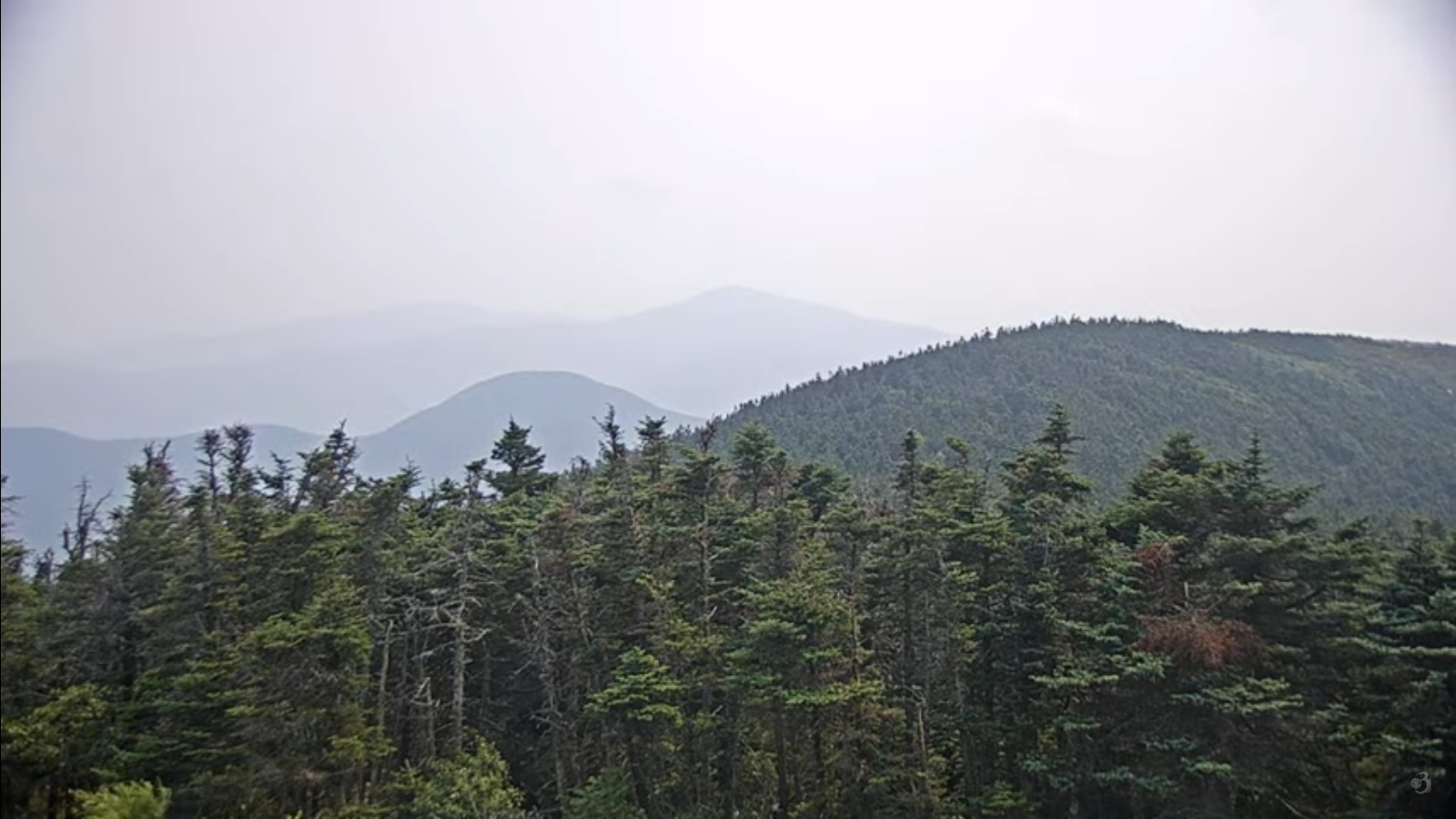
WEDNESDAY: Mostly sunny & hazy.A bit muggier. A high near 80. Light southeast wind.
Looking further ahead
WEDNESDAY NIGHT: Mostly clear. Maybe an early shower south. A low upper 50s near 60
THURSDAY: Partly sunny, humid & hazy. Scattered late afternoon showers and thunderstorms, mainly southern areas. A high in the low 80s.
FRIDAY: Sunshine with a few afternoon clouds. Not quite so muggy. A low upper 50s near 60. A high 80 to 85.
SATURDAY: Morning clouds then partly sunny. Warm & muggy. Maybe a shower/thunderstorm far northern areas. A low in the low 60s. A high mid to upper 80s.
Average low: ranging thru the 50s. Average highs: mid 70s to around 80.
End of Meteorological Summer September 5th
RH/8-4[forecast][end
