
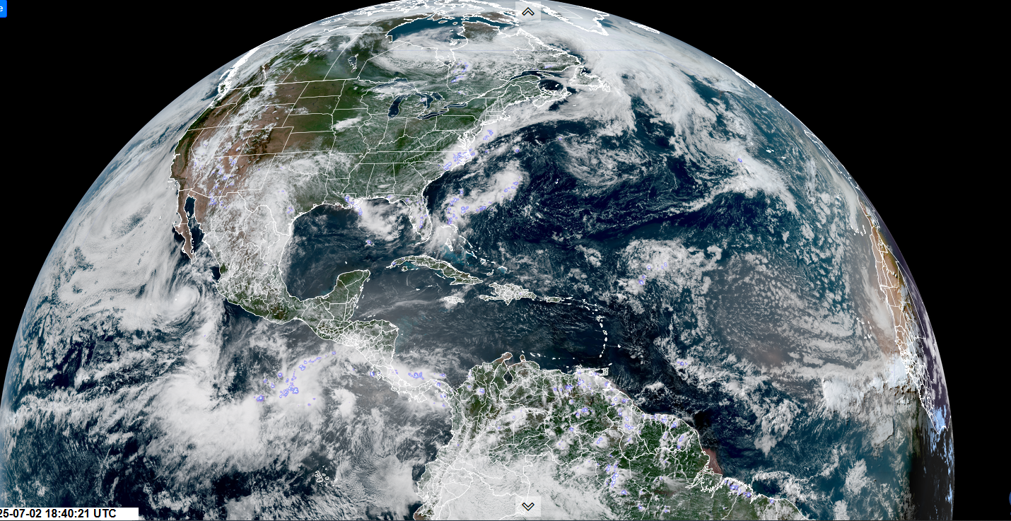
Roger Hill’s Radio Vermont Forecast 3:00 PM WEDNESDAY 7-2-25
TONIGHT: Mostly clear. Patchy valley fog.A low near 60.Light southwest winds.
TOMORROW: Mixed clouds and sun.Showers & thunderstorms likely mainly in the afternoon…some possibly strong with heavy downpours in the afternoon. Muggy. An early high mid to upper 70s. Westerly breeze 10 mph.

THURSDAY NIGHT: Partly cloudy. A few leftover shower or thunderstorm northern areas exiting overnight. Becoming cooler & less humid overnight. A low 50 to 55. Light northwest winds.
FRIDAY 4TH OF JULY: Partly sunny with more afternoon clouds.Chance for a passing light shower or sprinkle northern mountains.Comfortable.A high near 70. Northwest winds 10 to 15 mph.

Looking further ahead
FRIDAY NIGHT: Moistly clear with high clouds overnight. A low 50 to 55.
SATURDAY: Filtered sun giving way to late afternoon clouds.Maybe a northern shower or thunderstorm. Fairly comfortable.A high in the upper 70s.
SUNDAY: Sunshine with high cloudiness. Muggy again & warmer. Lows low to mid 60s. Highs pushing 90.
MONDAY: Mostly sunny then afternoon clouds. Scattered mainly afternoon showers and thunderstorms. Very sticky. Lows upper 60s. Highs around 90.
Average low: low to mid-50s. Average highs: upper 70s to low 80s.
Peak of Meteorological Summer July 22nd.
Admin: Summer Vacation 1 month after 4th of July. Fox Trot Delta Tango
RH/6-26[forecast][end]
