
-
- i m a g e 8 1
-

- i m a g e 8 2
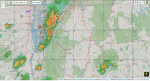
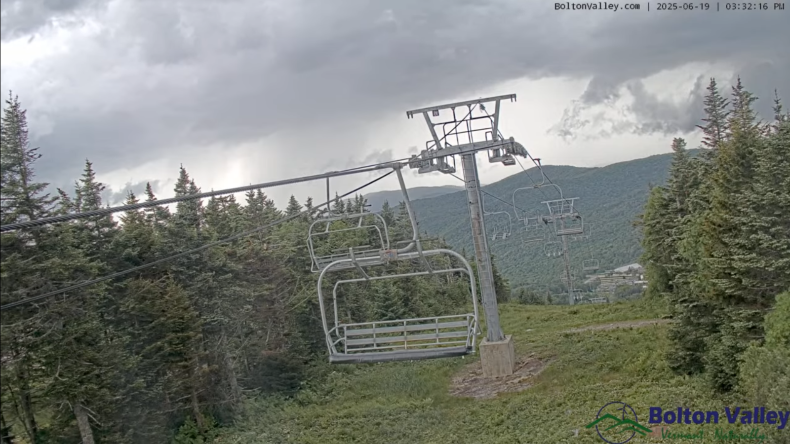
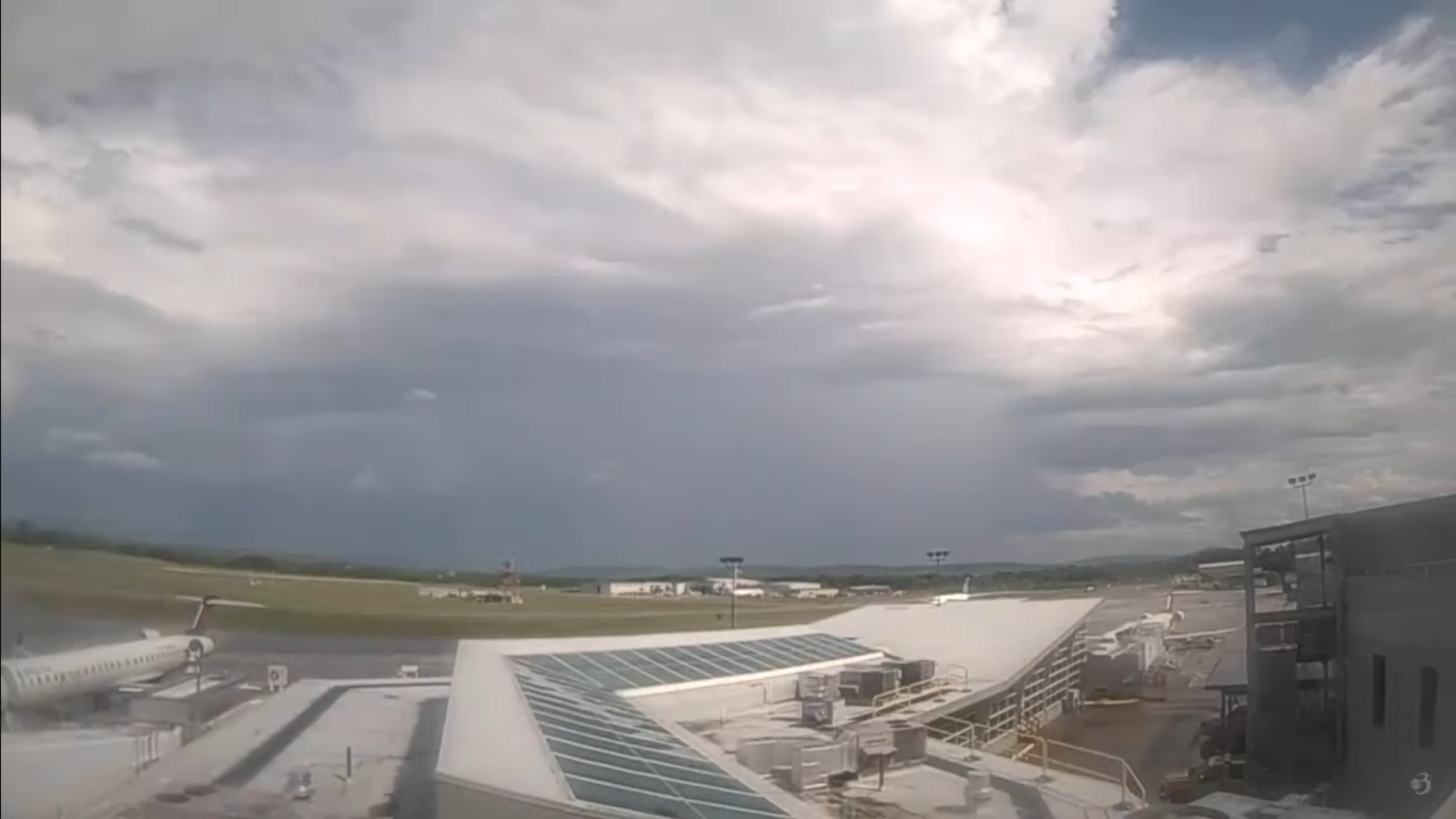
Roger Hill’s Radio Vermont Forecast 3:00 PM THURSDAY 6-19-25
Severe Thunderstorm Watch expires this evening
TONIGHT: Variable clouds. Widely scattered early evening showers and thunderstorms some strong…diminishing. A second round of scattered showers late overnight. Becoming less humid overnight. A low in the upper 50s. Southwest winds 10 to 15 mph shifting to westerly and increasing toward daybreak.
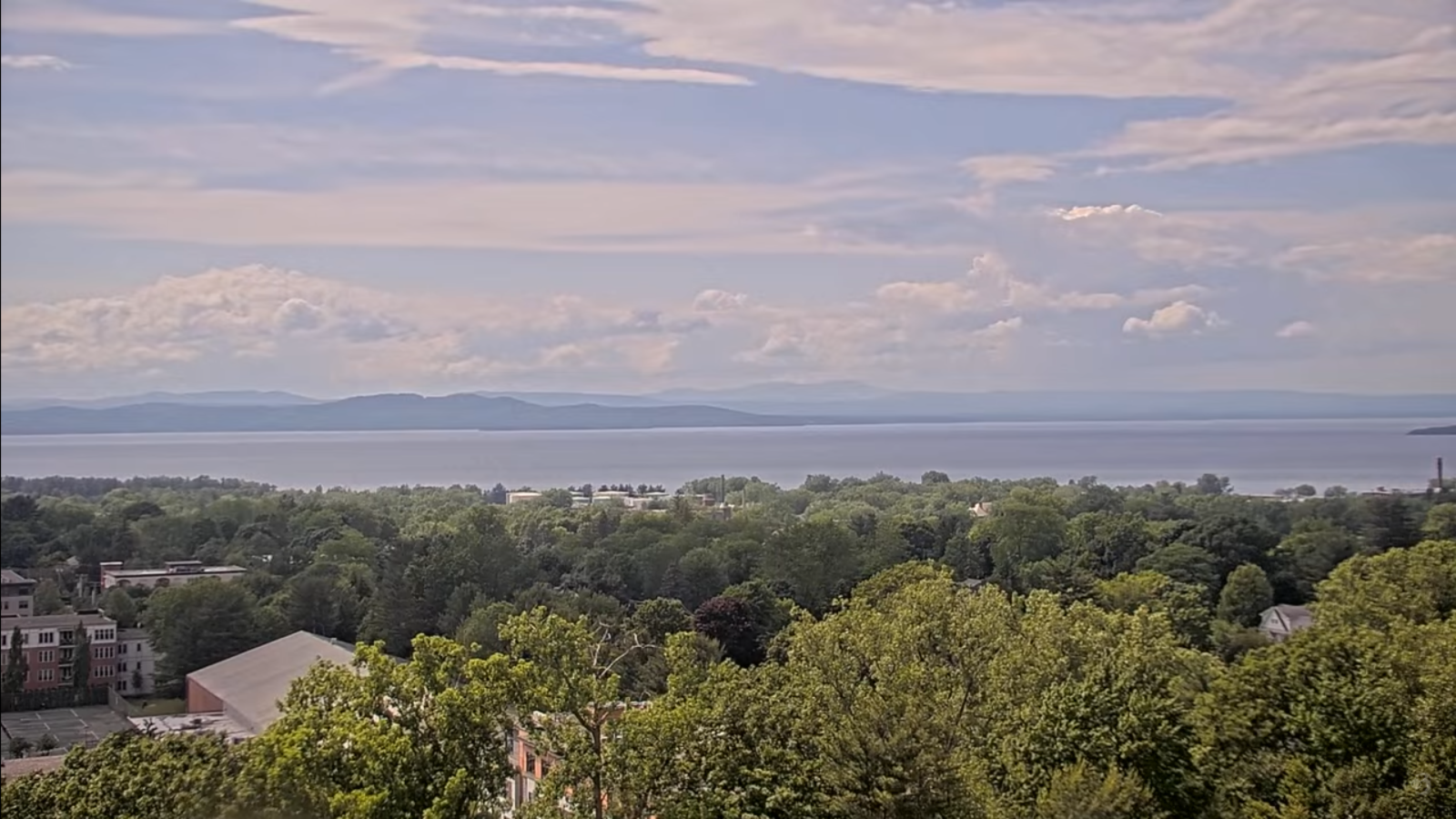
TOMORROW: Showers…northern areas in the morning, giving way to lots of sunshine. Breezy. Fresher & much less humid in the afternoon. Breezy at times. A high 70 to 75. West to northwest winds 10 to 25 mph.
Summer Solstice June 20th 10:41 PM EDT
FRIDAY NIGHT: Mostly clear. Cooler and refreshing. A low around 50. Light west to southwest winds.
SATURDAY: Sunshine becoming filtered by high cloudiness. Increasingly more humid later in the day. A late day high pushing 80. Light west winds.
Looking further ahead
SATURDAY NIGHT: Rising chance for showers and possible heavy embedded thunderstorms overnight. Oppressive & uncomfortable. A low upper 60s/near 70.
SUNDAY: Chance for early showers diminishing. Otherwise becoming mostly sunny. Oppressive humidity levels. A high 80 to 85.
MONDAY: Mostly sunny Hot & sticky. A low in the upper 60s. Highs low 90s (heat indices 95 to 100)

TUESDAY: Partly sunny then more clouds. Chance for afternoon/early evening thunderstorms. Lows upper 60s around 70. Highs 90 to 95. (heat indices 95 to 100)
Average low: low to mid-50s. Average highs: mid to upper 70s
Peak of Meteorological Summer July 22nd.
Admin: Summer Vacation 1 month after 4th of July. Fox Trot Delta Tango
RH/6-13[forecast][end]
