
Roger Hill’s Radio Vermont Forecast 3:00 PM THURSDAY 6-12-25
TONIGHT:Mostly clear, moonlit. Patchy valley fog. A low 45 to 50. Light northwest winds.
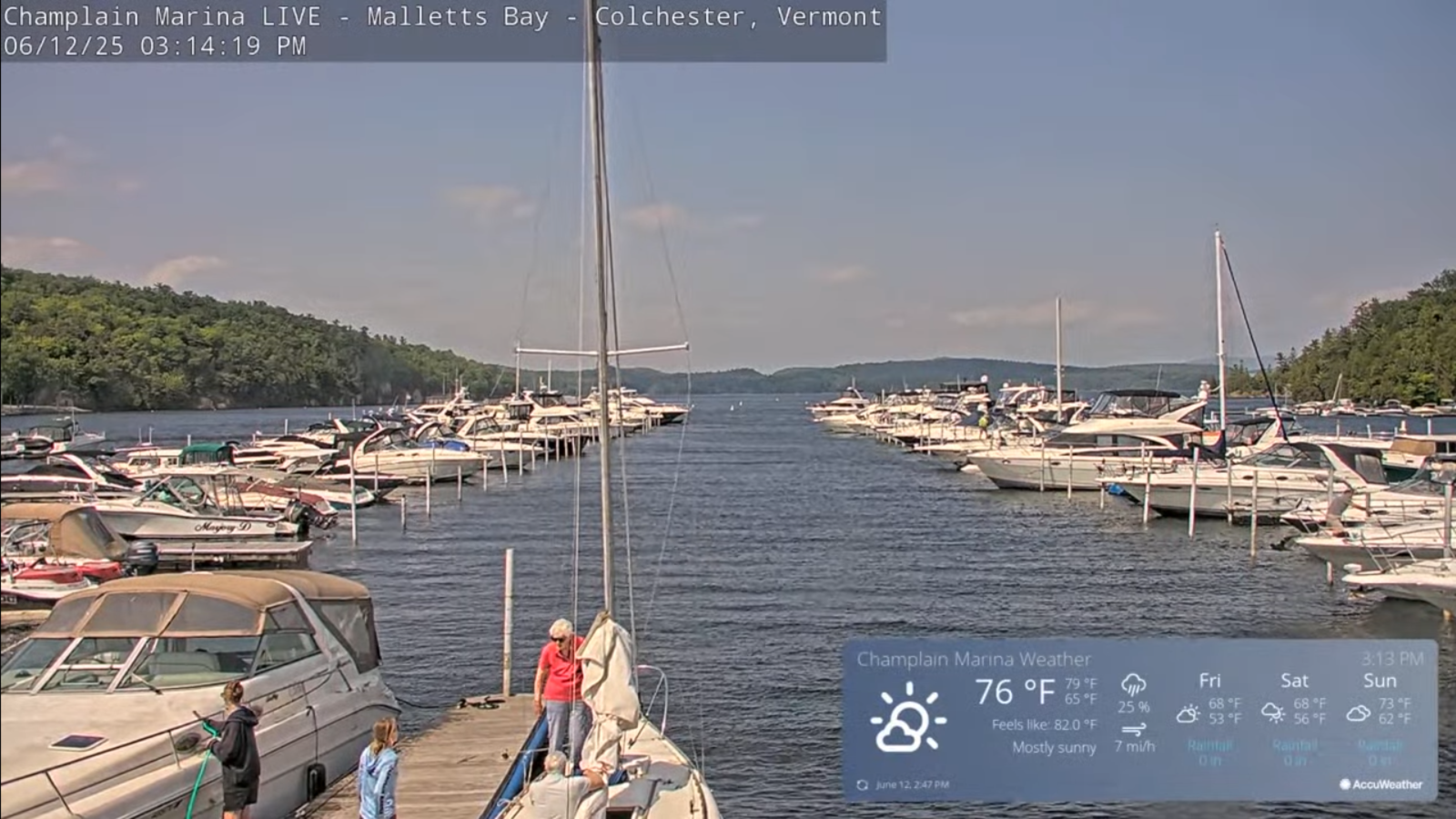
TOMORROW: More sun than clouds. Cool, lowered humidity. A high near 65. Light northwest breeze.
FRIDAY NIGHT: Considerable cloudiness. Chance for a shower northern areas, and far southern areas. A low upper 40s around 50. Light north winds.
SATURDAY: Partly to mostly cloudy. Couple passing leftover sprinkles. Remaining below normal in temperature. A high around 65. Light northeast winds.
Looking further ahead
SATURDAY NIGHT: Partly to mostly cloudy. A low around 50.
SUNDAY: Clouds with a few breaks of sun. Widely scattered sprinkles mainly western areas. Highs 65 to 70.
MONDAY: Partly to mostly cloudy. Chance for a passing shower or two. Lows upper 40s/near 50. A bit muggier. A high in the lower 70s.
TUESDAY: Mainly gray. Slight chance for showers. A low in the upper 50s. A high mid to upper 70s.
Average low: upper 40s to mid-50s. Average highs: mid 70s
Start of Meteorological summer back on June 6th. (Warmest 90 days climatology)
Summer Solstice June 20th 10:41 PM EDT
Peak of Meteorological Summer July 22nd.
RH/6-10[forecast][end]
