
Roger Hill’s Radio Vermont Forecast 3:00 PM FRIDAY 5-30-25
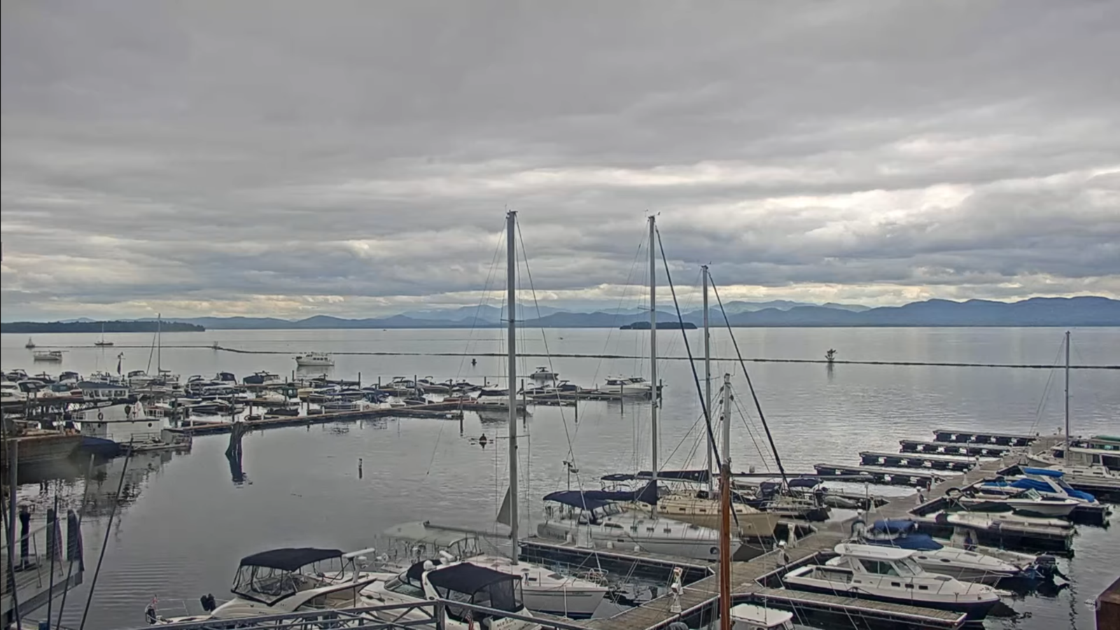
TONIGHT: Fair early then cloudy. Showers or periods of rain arriving near daybreak. Areas of fog. A low in the mid-50s. Light southeast winds.
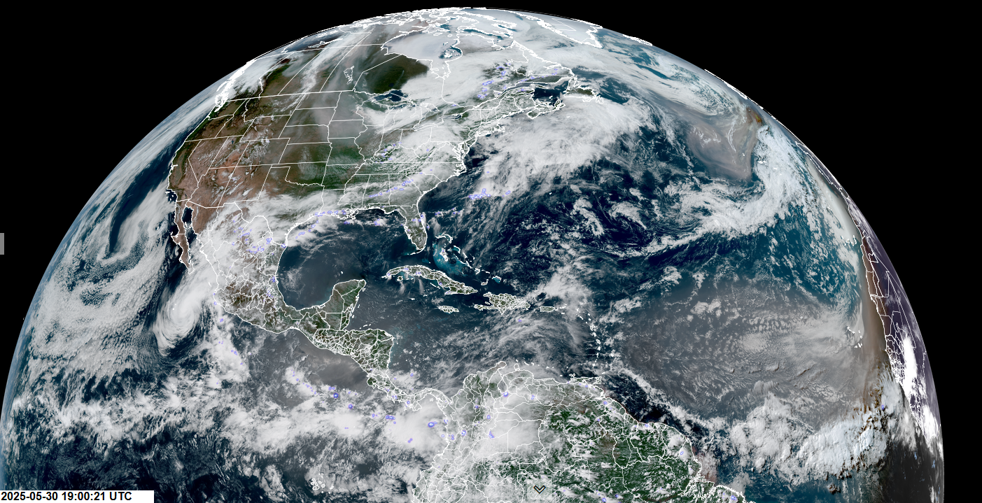
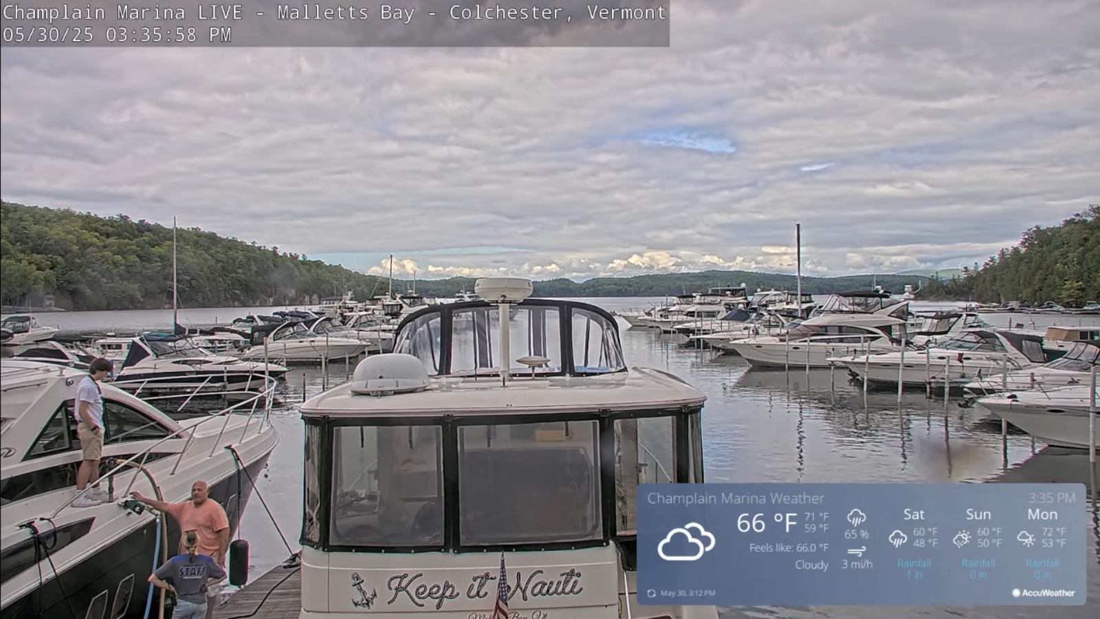
TOMORROW: Gray. Showers or periods of rain…moderate at times…maybe a rumble of thunder far south. A high in the upper 50s near 60. North winds shifting to northwesterly 10 to 15 mph.
SATURDAY NIGHT: Overcast with some partial clearing late. Showers likely early, winding down overnight. Areas of fog. A low 40 to 45. West winds 10 mph.
SUNDAY: Mostly cloudy. Chance for showers…especially northern areas in the afternoon. Cool. A high mid to upper 50s. West breeze 10 to 15 mph.
Looking further ahead
SUNDAY NIGHT: Lots of clouds. Chance for showers northern areas. A low around 45.
MONDAY: An isolated shower or thunderstorm early, otherwise partly sunny. Warming trend. Highs near 65.

TUESDAY: A beauty – Mostly sunny. Pleasant. A low near 45. A high 70 to 75.
WEDNESDAY: Sunshine with a few high clouds. Warmer. Lows in the 50s. Becoming noticeably muggier. Highs low 80s.
Average low: low to mid-40s. Average highs: upper 60s to mid-70s.
Start of Meteorological Summer June 6th. (Warmest 90 days climatology)
Summer Solstice June 20th 10:41 PM EDT
Peak of Meteorological Summer July 22nd.
RH/5-27[forecast][end]
