
Roger Hill’s Radio Vermont Forecast 3:00 PM THURSDAY 5-22-25
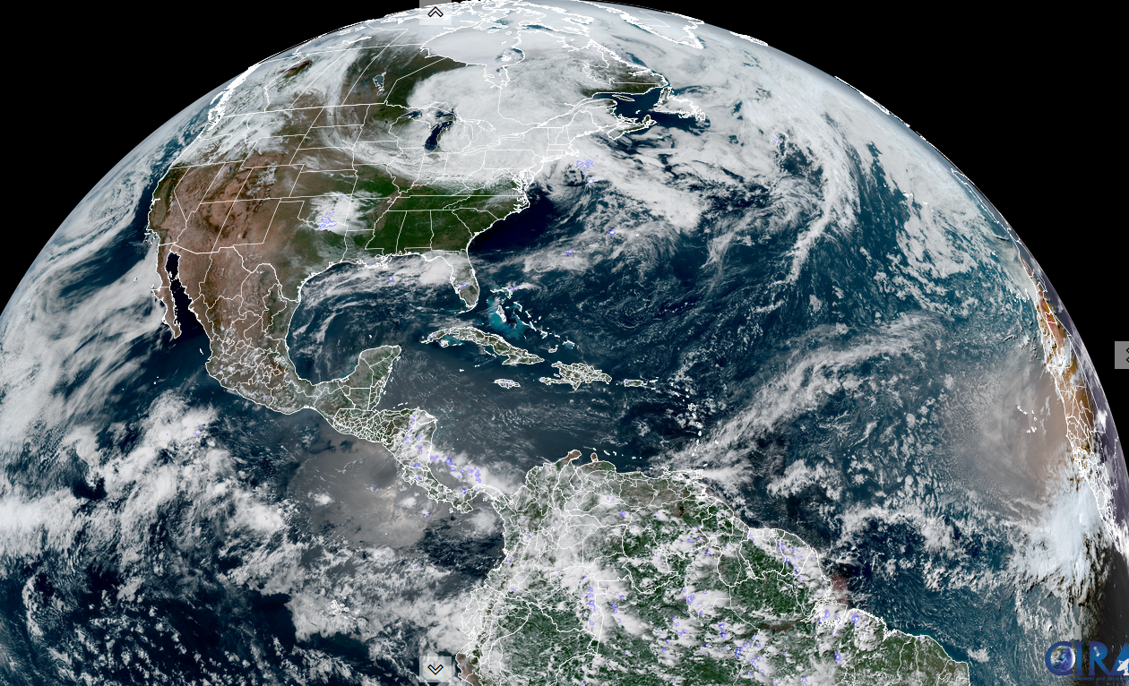
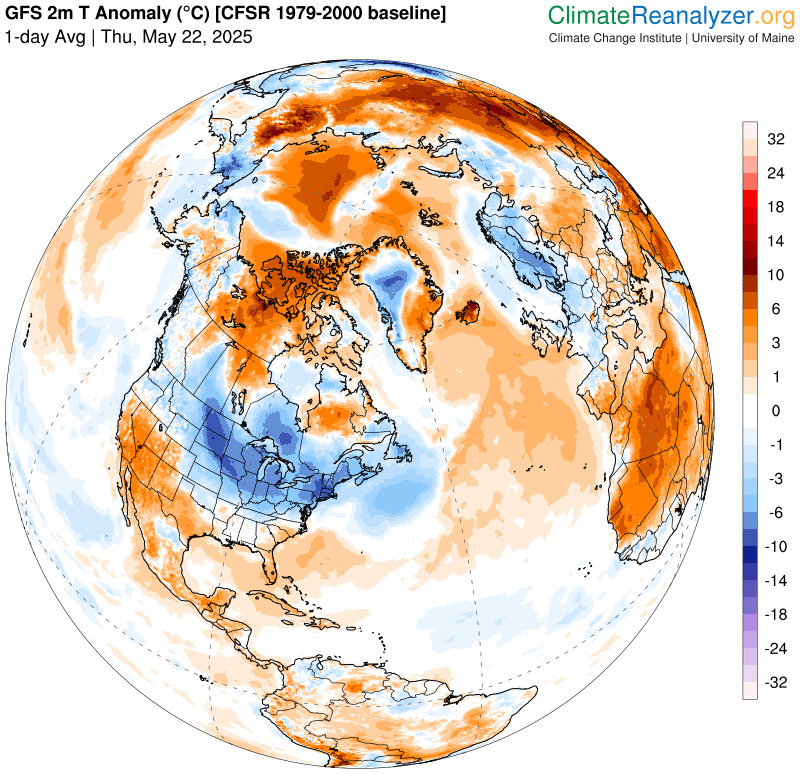
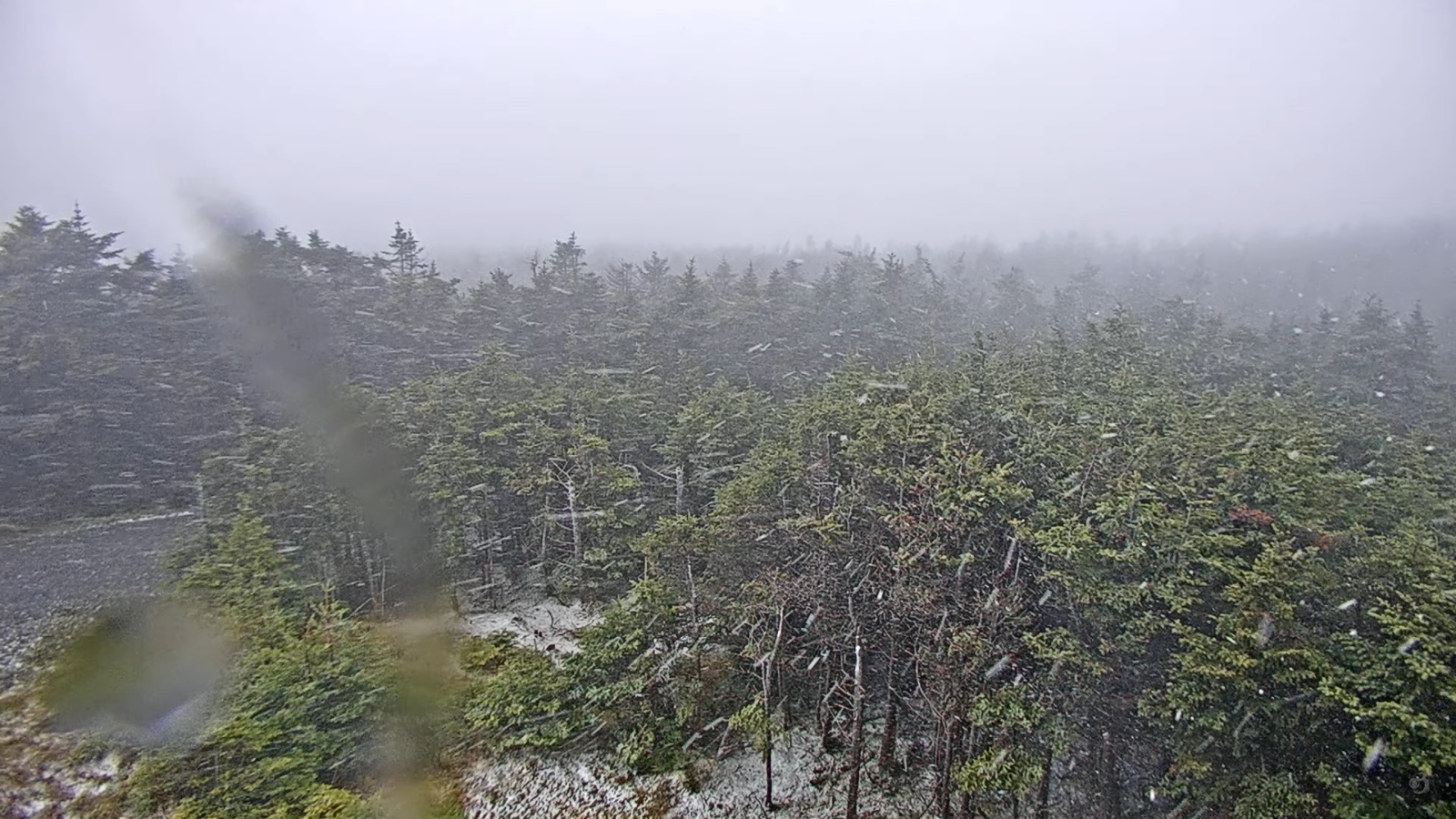
TONIGHT: Overcast. Periods of rain, moderate at times southern areas…mixed with wet snow flakes mountain summits. Damp & chilly for this late in the season. A low in the upper 30s near 40. Light northeast winds.
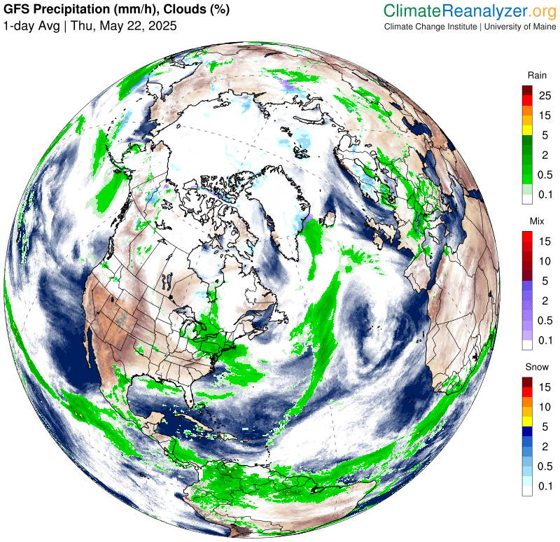
TOMORROW: Gray dreary & cool. Good chance for lingering light showers. A high mid to upper 40s. Light north winds.
FRIDAY NIGHT: Lots of clouds. Scattered rain showers. A low around 40. Light northwest winds.
SATURDAY: Gray skies, dreary and cool. Chance for rain showers. A high mid to upper 40s. Northwest winds 10 mph.
Looking further ahead
SATURDAY NIGHT: Considerable cloudiness. A low 40 to 45
SUNDAY: Scattered showers or misty sprinkles in the morning with intervals of afternoon sun. A high 50 to 55.
MONDAY Memorial Day: Clouds give way to mostly sunny skies. A low in the upper 30s. A high 60 to 65.
TUESDAY: Sunshine with some with high cloudiness. Lows upper 30s. Highs mid to upper 60s.
Average low: low to mid-40s. Average highs: mid-60s to low 70s.
Start of Meteorological Summer June 6th. (Warmest 90 days climatology)
Summer Solstice June 20th 10:41 PM EDT
RH/5-22[forecast][end]
