

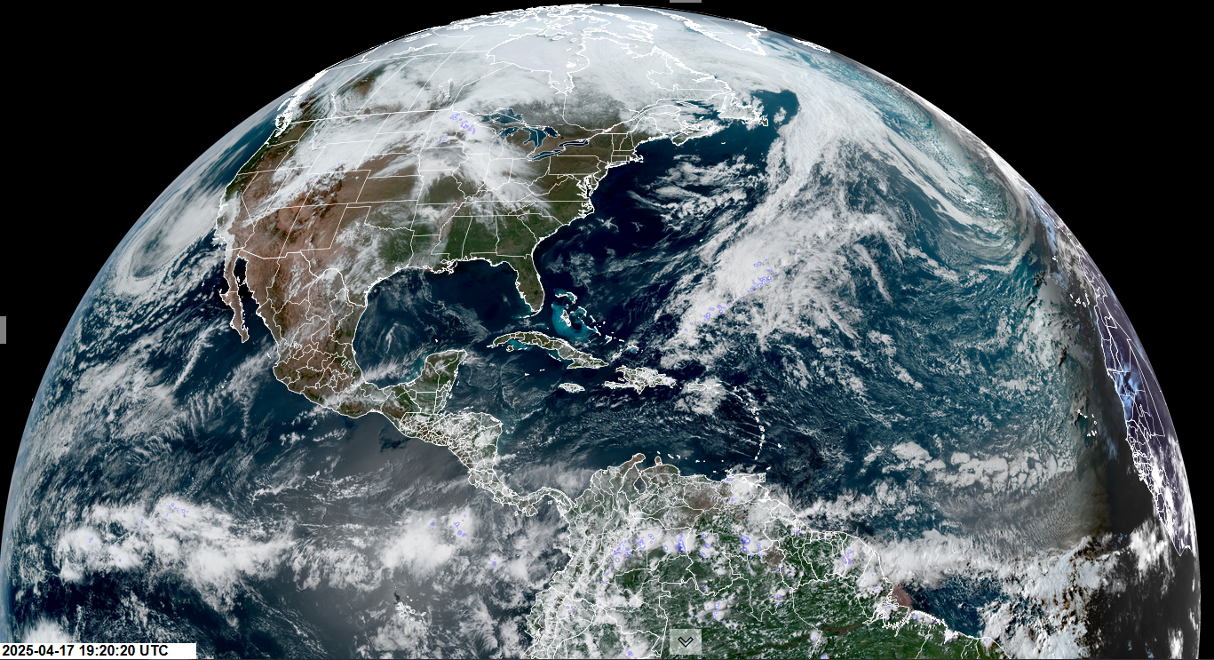
Roger Hill’s Radio Vermont Forecast 3:00 PM THURSDAY 4-17-25
TONIGHT: Mostly clear. A low around 25. Light west winds.
TOMORROW: Filtered sunshine, then clouding up. Rising chance for late afternoon rain showers. Near seasonable highs upper 50s around 60. South breeze 10 mph stronger near Lake Champlain.
FRIDAY NIGHT: Mostly cloudy. Occasional rain showers northern half of the state. Some moderate with a chance for a thunderstorm or two. Not as chilly. A low upper 40s. South winds 10 to 15 mph.

SATURDAY: Lots of clouds. Scattered rain showers, maybe a rumble of thunder far north. A high upper 60s to near 70. Southwest winds 10 to 20 mph.
Looking further ahead
SATURDAY NIGHT: Chance for lingering evening rain showers northern areas drying up to partial clearing overnight. A low later overnight around 32.

SUNDAY: Mostly sunny & still a bit cool. Highs upper 40s near 50.
MONDAY: Sunshine gives way to Increasing clouds. Chance for late day rain showers. A low near 30. A high 55 to 60.
TUESDAY: Mostly cloudy. Chance for rain showers some moderate at times early. A low near 40. A high in the lower 60s.
Average low: range upper 20s to low 30s. Average highs: mid to upper 50s & rising
RH/4-17[forecast][end]
