
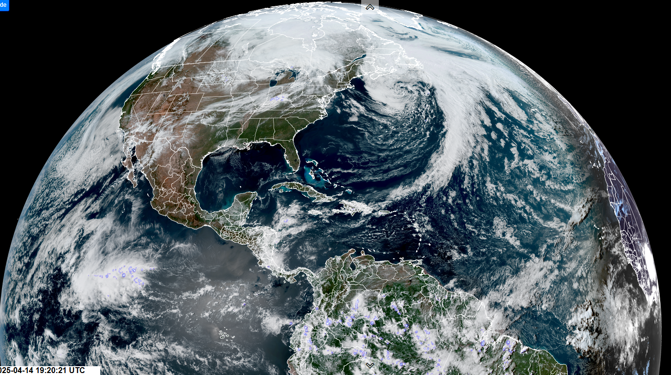
Roger Hill’s Radio Vermont Forecast 3:00 PM MONDAY 4-14-25
TONIGHT: Becoming mostly cloudy. Showers arrive late this evening and taper off later overnight to partial clearing. A low in the lower 40s. Light south winds.
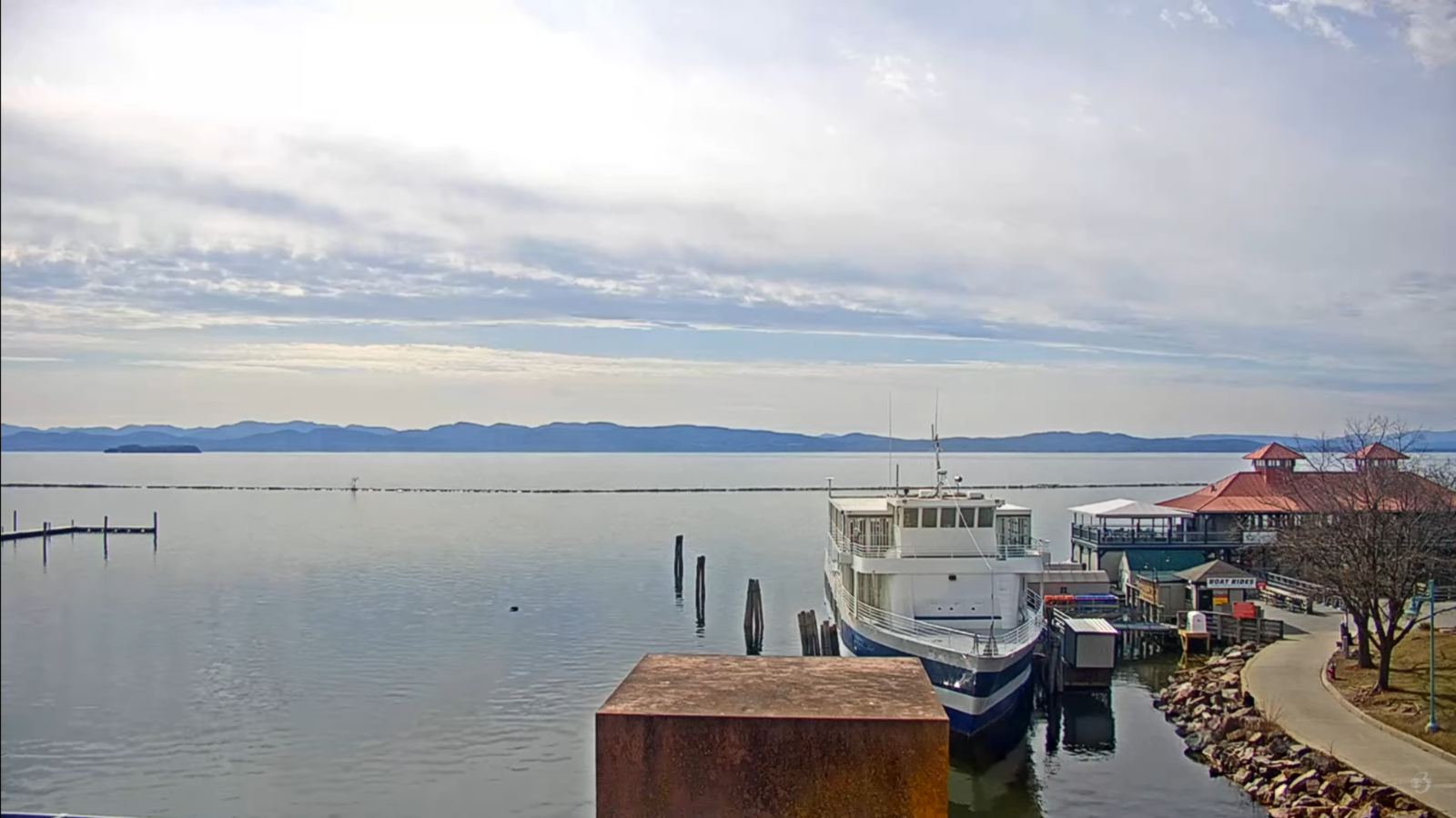
TOMORROW: Morning sunshine gives way to lots of clouds. Occasional showers around mid-day on. Possible rumble of thunder…toward the Champlain Valley. An early high near 60, then colder in the afternoon. Blustery southwest winds 10 to 20 mph
TUESDAY NIGHT: Overcast. Rain showers changing to wet snow showers overnight. Dusting to an inch far northern areas. A low in the lower 30s. West winds 10 mph

WEDNESDAY: Gray. Occasional wet snow showers mixing with rain in the afternoon. Dusting to an inch higher northern terrain. Chilly. A high in the lower 40s. Northwest winds 10 to 20 mph with higher gusts.
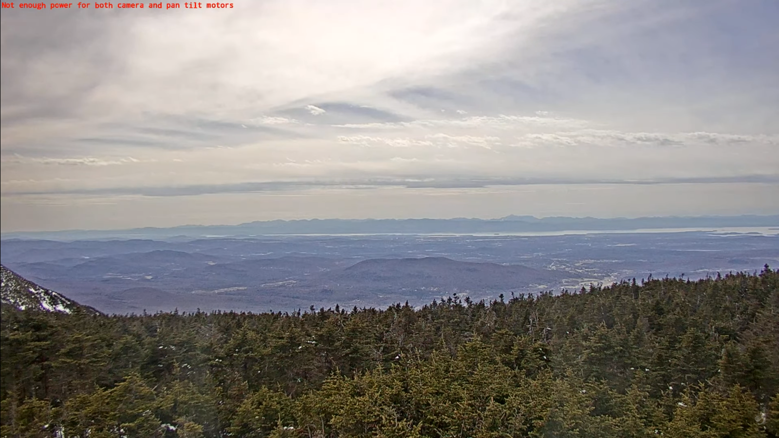
Looking further ahead
WEDNESDAY NIGHT: Considerable cloudiness. Scattered evening flurries drying up. Near seasonal lows 25 to 32.
THURSDAY: Morning clouds, then lots of sunshine. Chilly. A high 40 to 45.
FRIDAY: Morning sun then clouding up. Maybe a late day sprinkle. Lows mid to upper 20s. Highs in the 50s.
SATURDAY: Considerable clouds. Chance for showers…maybe some afternoon rumbles of thunder. Lows in the low to mid 40s. Highs in the 60s.
Average low: range upper 20s to low 30s. Average highs: mid to upper 50s & rising
RH/4-14[forecast][end]
