
Roger Hill’s Radio Vermont Forecast 3:00 PM Friday 4-11-25
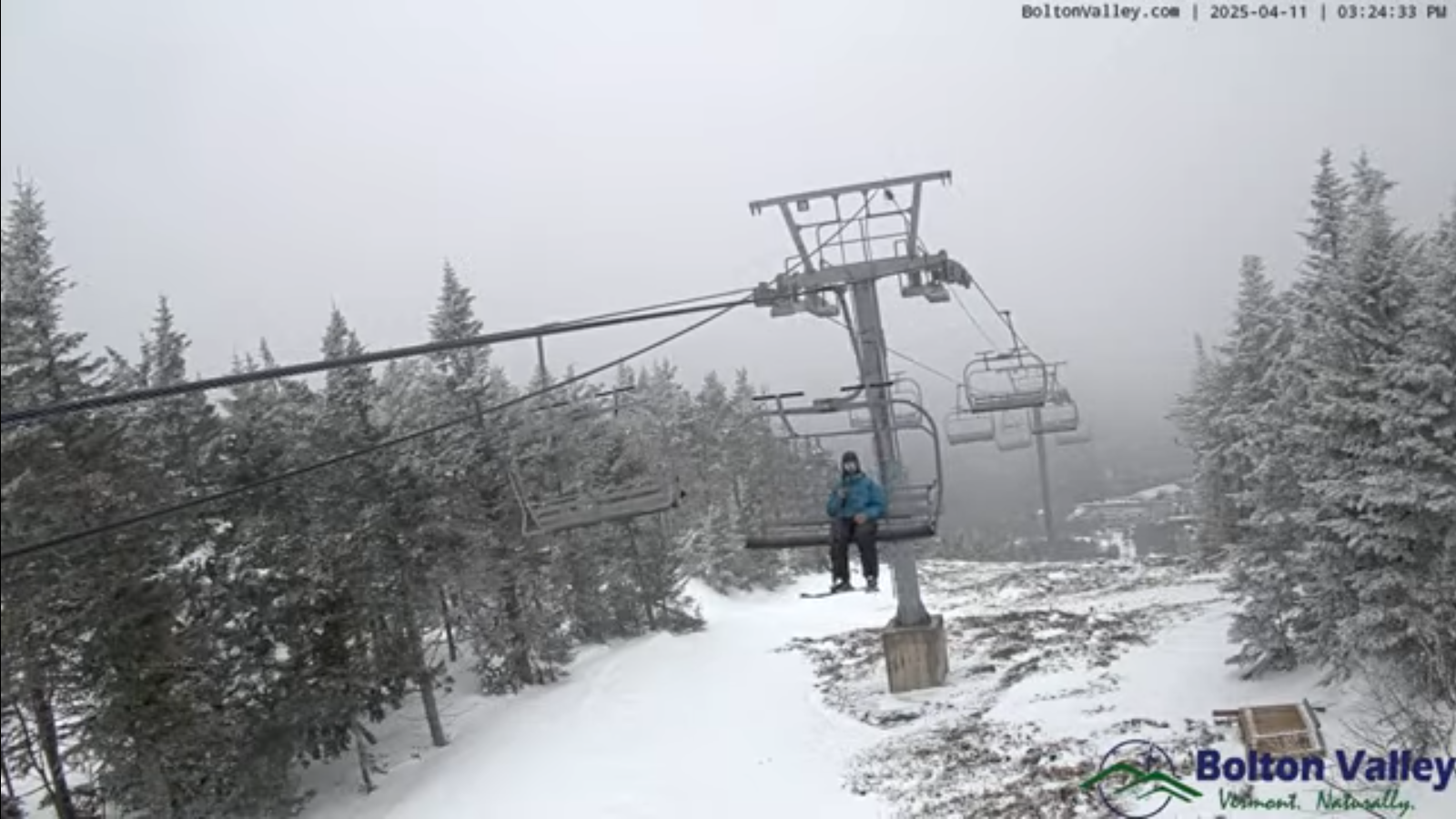
TONIGHT: Variable clouds north, otherwise cloudy. Light snow showers southern areas gradually spreading north mixed with rain drops lower valleys. A dusting to an inch southern half of Vermont (poor mans fertilizer). A low in the lower 30s. Light east to southeast winds.
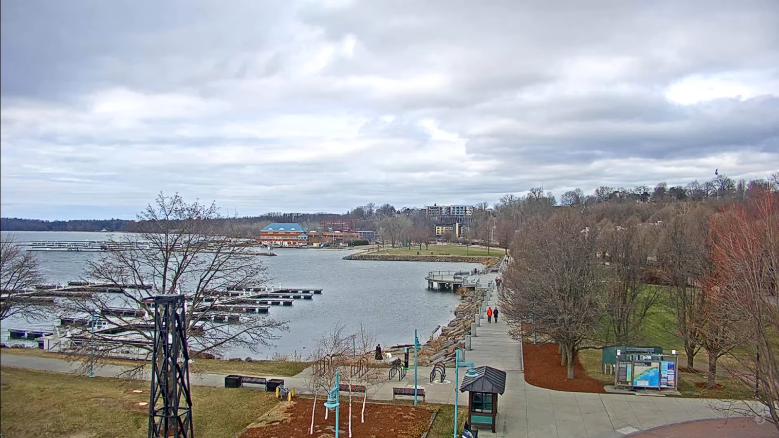
TOMORROW: Gray. Wet slushy snow showers in the morning…with up to 2” in spots southern higher terrain…changing over to scattered rain showers in the afternoon. A high upper 30s around 40. Light northeast winds.
Full pink moon 8:22 PM Saturday Evening…
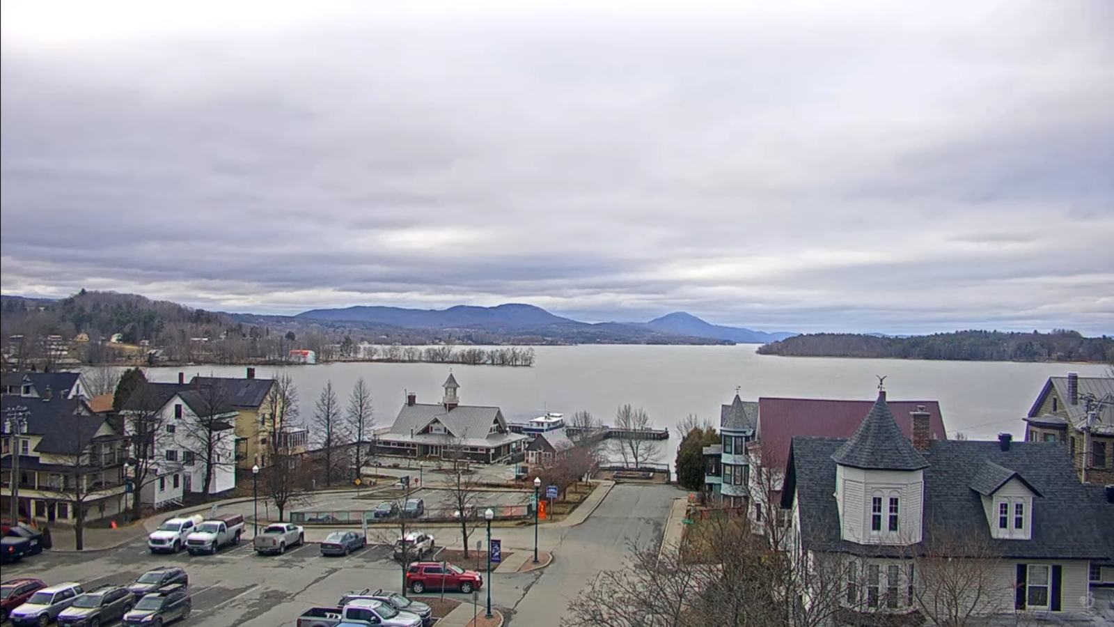
SATURDAY NIGHT: Considerable cloudiness. Maybe a sprinkle or two in the evening. A low 30 to 32. Light north to northeast winds.
SUNDAY: Clouds…with intervals of late afternoon sunshine. Seasonal in temperature. A high in the low 50s. North breeze 10 mph.
Looking further ahead
SUNDAY NIGHT: Mostly clear. A low in the low 30s.
MONDAY: Sunshine becoming filtered thru high clouds. Milder with a high in the lower 60s.
TUESDAY: Maybe an interval of sun, but mainly gray. Chance for a sprinkle or passing rain shower. Mild. Lows 40 to 45. Highs near 55.
WEDNESDAY: Gray and chilly again. Chance for a few mountain snow showers or flurries. A low in the upper 20s. A high mid to upper 30s.
Average low: range mid-20s to low 30s. Average highs: 50 to 55.
RH/4-11[forecast][end]
