
Roger Hill’s Radio Vermont Forecast 3:00 PM TUESDAY 3-25-25
TONIGHT: Becoming partly cloudy. A few stray flurries with a dusting northern areas. A low ranging thru the 20s. Light west to southwest winds.
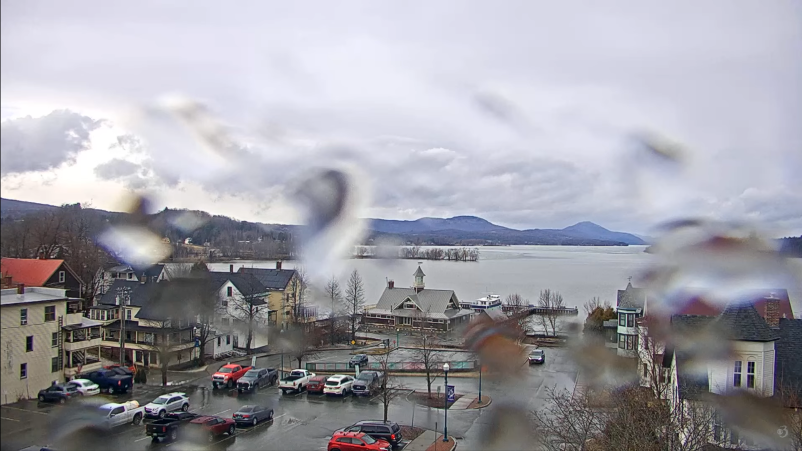
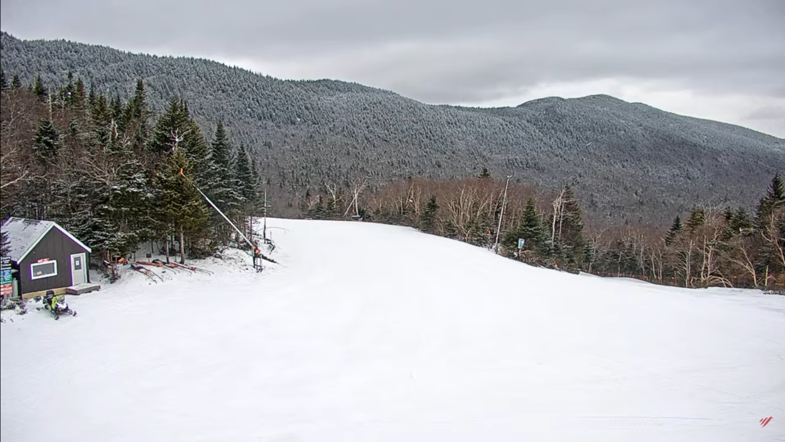
TOMORROW: Clouds with intervals of sun. Scattered snow showers develop in the afternoon with a light coating northern high terrain. A high in the upper 30s to around 40. Light west to northwest winds.
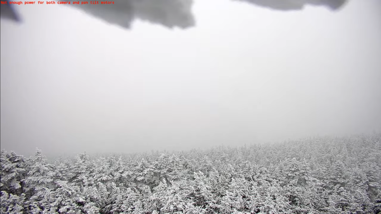
WEDNESDAY NIGHT: Variably cloudy. A round flurries or light snow showers with a dusting. A low in the mid-20s. Light northwest winds.
THURSDAY: Pick of the week. Mostly sunny with a few late afternoon clouds. A high in the upper 30s. Northwest winds 10 mph.
Looking further ahead

THURSDAY NIGHT: Considerable cloudiness. Scattered snow showers or flurries with a light coating especially western Vermont. A low in the mid to upper 20s.
FRIDAY: Variable cloudiness. Chance for early snow showers with light coatings and up to 2” far north…changing to freezing rain and eventually rain showers.. A high around 30 north with slick travel, and mid 30s central and south.
SATURDAY: Mainly gray. Chance for snow or rain showers…with a slushy coating. A low in the low to mid 20s. A high 35 to 40.
SUNDAY: Cloudy. Chance for mixed precipitation. Lows 25 to 32. Highs 35 to 45.
Average low: low to mid-20s. Average high mid to upper 40s.
RH/3-25[forecast][end]
