
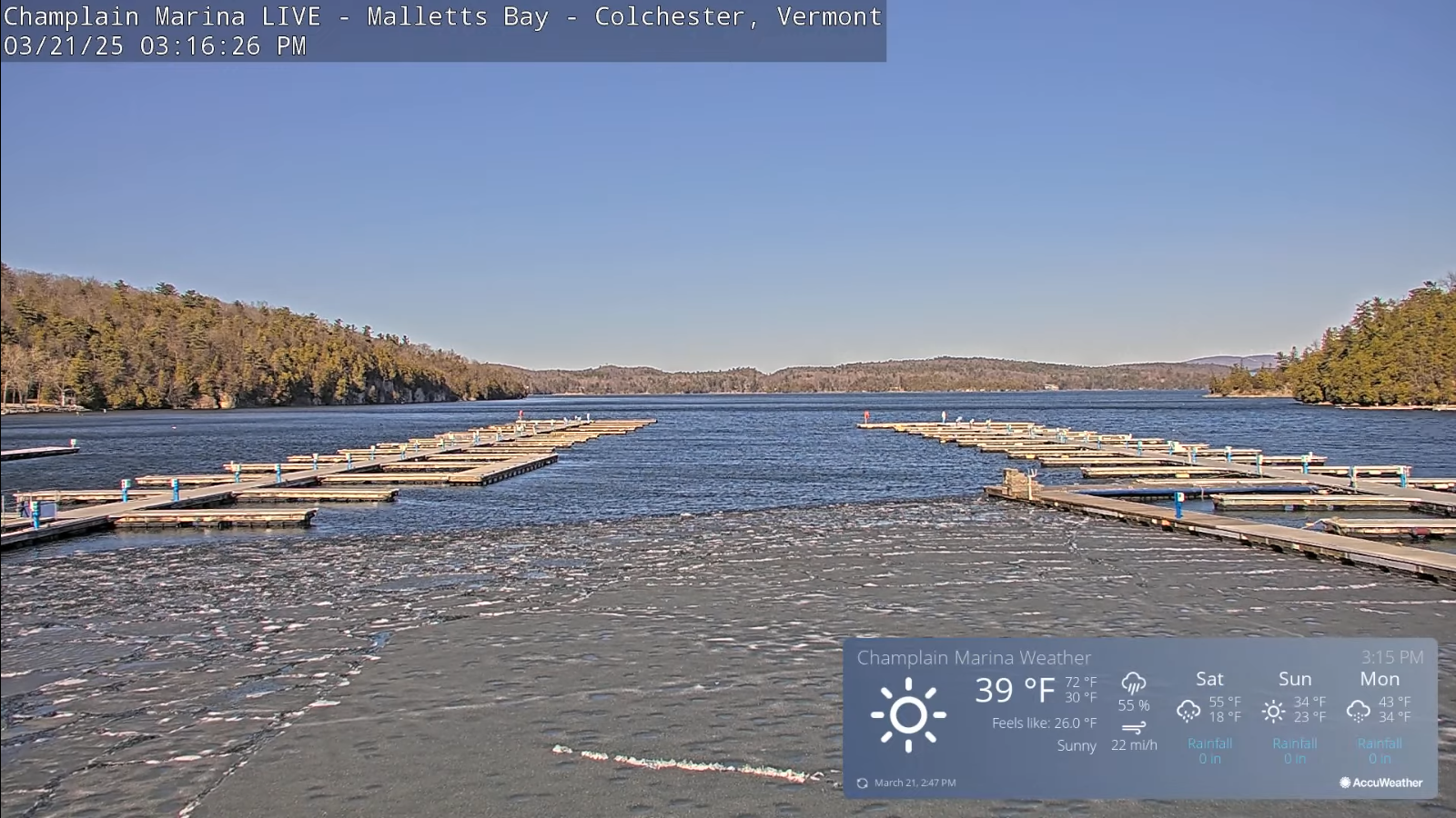
Roger Hill’s Radio Vermont Forecast 3:00 PM FRIDAY 3-21-25
TONIGHT: Mostly clear and colder.A low 20 to 25. Light winds becoming southerly late.
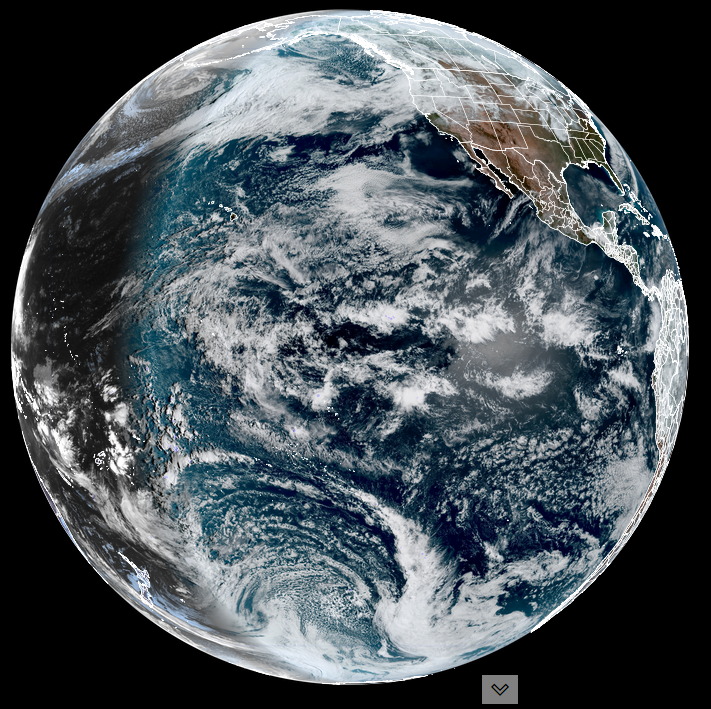
TOMORROW: Morning sun then mostly cloudy. Relatively mild. A high in the low 50s. Chance for rain showers arriving late…. Southwest winds 10 to 20 mph stronger near Lake Champlain.
SATURDAY NIGHT: Wet snow showers, with a light slushy coating…winding around midnight. Otherwise, gradual clearing. A low 15 to 20. Northwest winds 10 to 20 mph and gusty.
SUNDAY: Some morning clouds then sunny, but colder. A high around 32. Northwest winds continue 10 to 20 mph dropping off in the afternoon.

Looking further ahead
SUNDAY NIGHT: Mostly clear becoming mostly cloudy overnight. A low upper teens to mid-20s.
MONDAY: Gray. Chance for morning wet snow showers…about an inch or 2…changing to sprinkles and mixed sunny intervals in the afternoon. A high in the mid to upper 30s.

TUESDAY: Clouds with a few intervals of sunshine. Scattered rain and mountain summit snow showers lingering. A low around 30. A high in the low 40s.
WEDNESDAY: Clouds with sunny intervals. Scattered snow showers mixed with rain drops valleys. A low in the 20s. Highs 35 to 45.
Average low: ranging upper teens to mid-20s. Average high upper 30s to mid-40s.

RH/3-19[forecast][end]
