
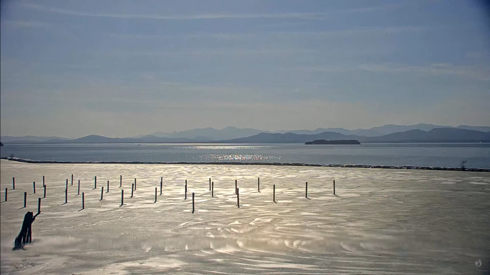
Roger Hill’s Radio Vermont Forecast 3:00 PM FRIDAY 3-14-25
TONIGHT: Clear & moonlit early, then clouding up. A low 32 to 35. Light south winds, stronger Lake Champlain.
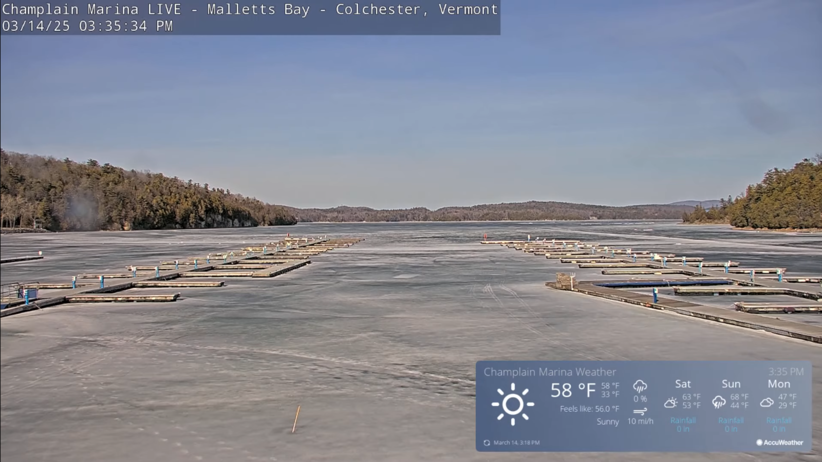
TOMORROW: Sunshine becoming filtered through high cloudiness. Well above normal in temperature, producing snowmelt with high rivers and streams. A high upper 50s low 60s. South breeze 10 mph, stronger near the lake. (Sap run perhaps)
SATURDAY NIGHT: High cloudiness thickening up overnight. Patchy drizzle southern areas.Mild.A low around 45. South breeze 10 to 15 mph.
SUNDAY: Gray, but mild. Scattered rain showers developing in the afternoon more widespread toward dark. Lots of snow melt with high rivers and streams. Mild again. A high upper 50s to low 60s. South breeze 10 to 20 mph and gusty.
Looking further ahead
SUNDAY NIGHT: Lots of clouds. Rain showers moderate at times with a rumble of thunder possible western/southern areas tapering off overnight. A low near 40.
MONDAY: An early leftover sprinkle dries up. Otherwise, lingering clouds. Little temperature change with a high near 45.
TUESDAY: Mostly sunny. A low upper 20s to low 30s. A high 50 to 55.
WEDNESDAY: Some filtered sun then mainly gray. Lows 30 to 35. A high pushing 65.
Average low: ranging low-teens to low 20s. Average high mid-30s to low 40s.
RH/3-14[forecast][end]
