
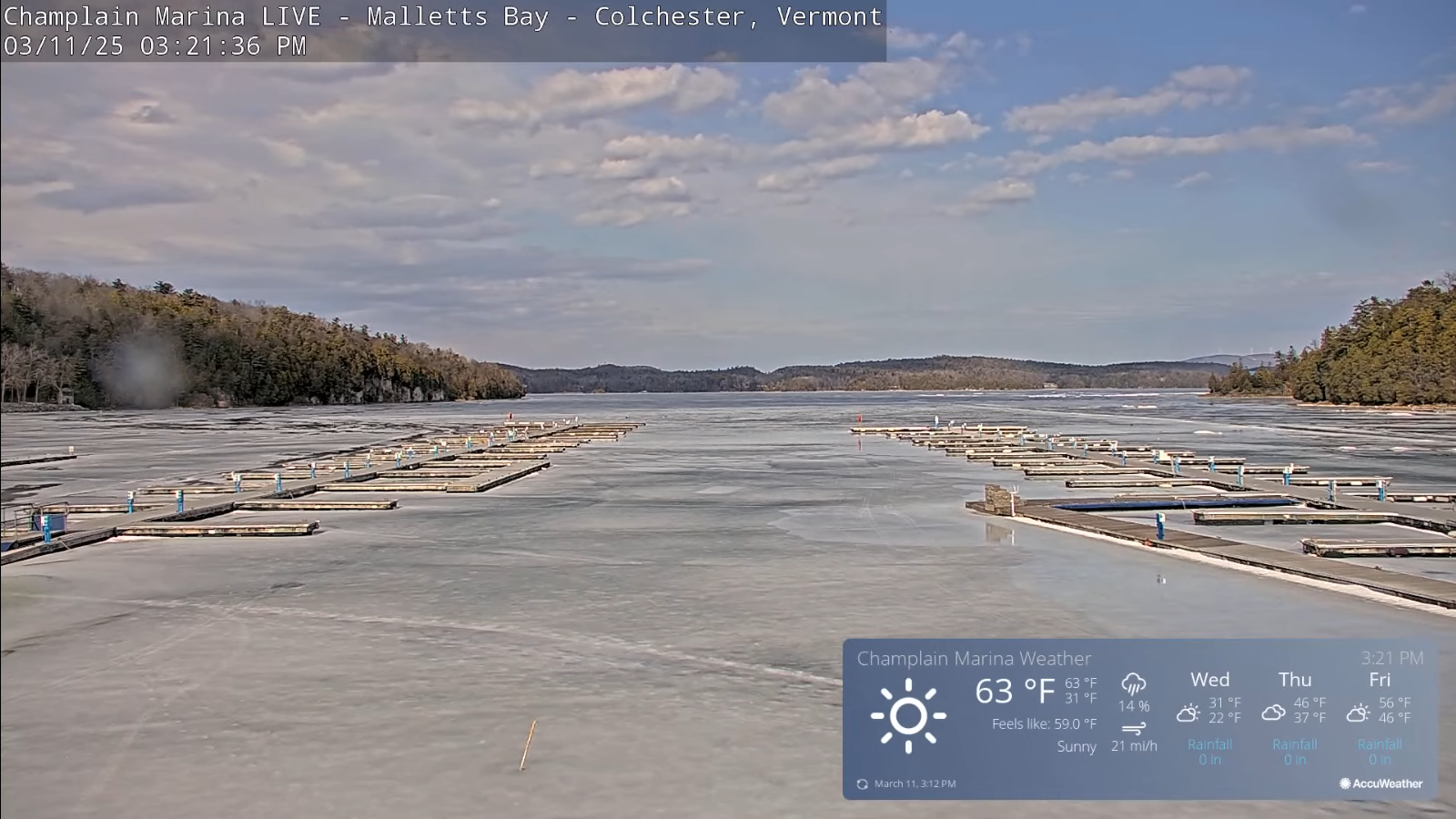
Roger Hill’s Radio Vermont Forecast 3:00 PM TUESDAY 3-11-25
TONIGHT: Some early evening clouds with scattered sprinkles northern areas. A bit blustery and turning colder. A low ranging in the teens. West to northwest winds 10 to 20 mph.
TOMORROW: Some morning sun, then lots of clouds. Seasonably chilly. A high about 30. Light north to northwest winds.
WEDNESDAY NIGHT: Considerable cloudiness. A few flurries or light snow showers especially southern areas overnight. Dusting in spots. A low upper teens to mid-20s. Winds becoming light and southeasterly
THURSDAY: An Isolated stray flurry early, otherwise filtered sunshine thru high clouds. Big warming trend returns. A high in the lower 40s. (Possible sap run) Southeast winds 10 mph.
Looking further ahead
Full Worm Moon 2:55 AM EDT
THURSDAY NIGHT: Mostly clear with a few high clouds. A low mid to upper 20s.
FRIDAY: Mostly sunny with few high clouds. A high around 50. (sap run)
SATURDAY: More clouds than sun, but well above normal in temperature. Maybe sprinkle. A low in the mid-30s. Lots of snow melt high rivers and streams. A high in the 50s. (sap run?)
SUNDAY: Mainly gray, but very mild. A low around 45. A high in the low 60s.
Average low: ranging low-teens to low 20s. Average high mid-30s to low 40s.
RH/3-11[forecast][end]
