
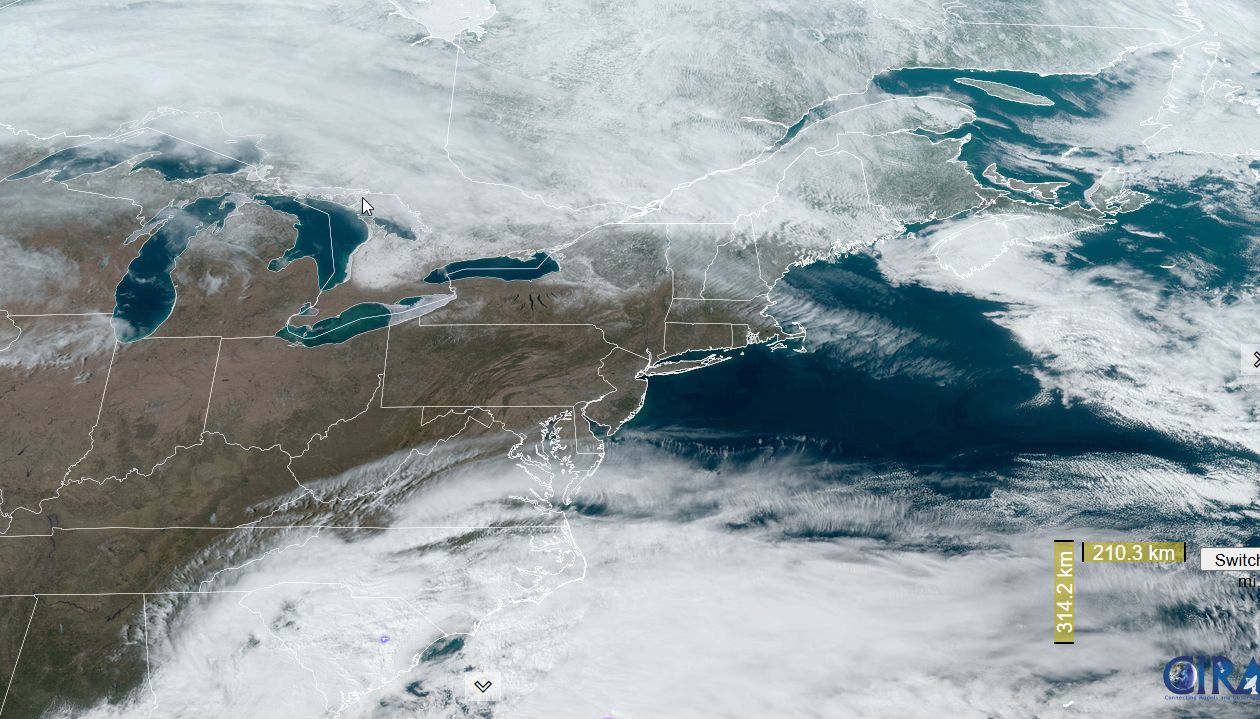
Roger Hill’s Radio Vermont Forecast 3:00 PM MONDAY 3-10-25
TONIGHT: Scattered light passing rain showers Quebec border, otherwise becoming fair or mostly clear. Isolated valley fog. A low upper 20s/around 30 at daybreak. Winds becoming light and southerly, strong near Lake Champlain.
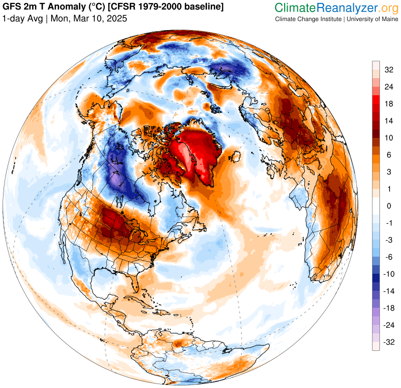
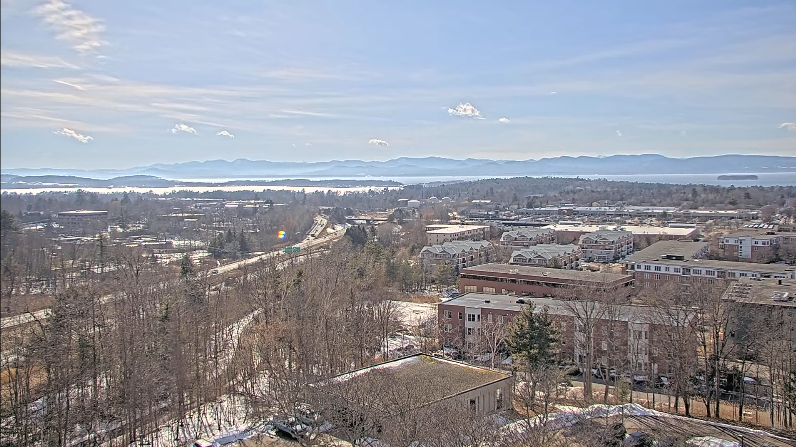
TOMORROW: Lots of sunshine filtered thru high cloudiness. Well above normal in temperature with a high in the mid to upper 50s. South to southwest breeze 10 to 15 mph, stronger near the lake. (Sap run)
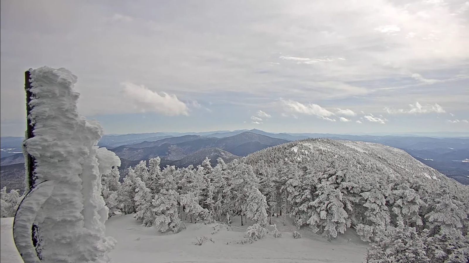
TUESDAY NIGHT: Partly cloudy, blustery and trending colder. A low ranging thru the teens. West to northwest winds 10 to 20 mph.
WEDNESDAY: Lots of sunshine giving way to more clouds. Seasonably chilly. A high around 30. Light north to northwest winds.
Looking further ahead
WEDNESDAY NIGHT: Overcast. A rising chance for flurries or light snow showers especially overnight, with light slushy coating. A low in the mid to upper teens.
THURSDAY: Isolated stray flurries early, otherwise filtered sunshine developing. Big warming trend returns. A high around 40. (Possible sap run)
FRIDAY: Partly to mostly sunny. A low mid to upper 20s. A high near 50. (sap run)
SATURDAY: Clouds with intervals of sun. Maybe a sprinkle or brief shower. A low near 32. Well above normal – lots of snow melt high rivers and streams. A high upper 50s/around 60. (sap run)
Average low: ranging low-teens to low 20s. Average high mid-30s to low 40s.

RH/3-10[forecast][end]
