
ALWAYS BE KIND TO YOUR MOTHER – OR YOU’LL GET SLAPPED!
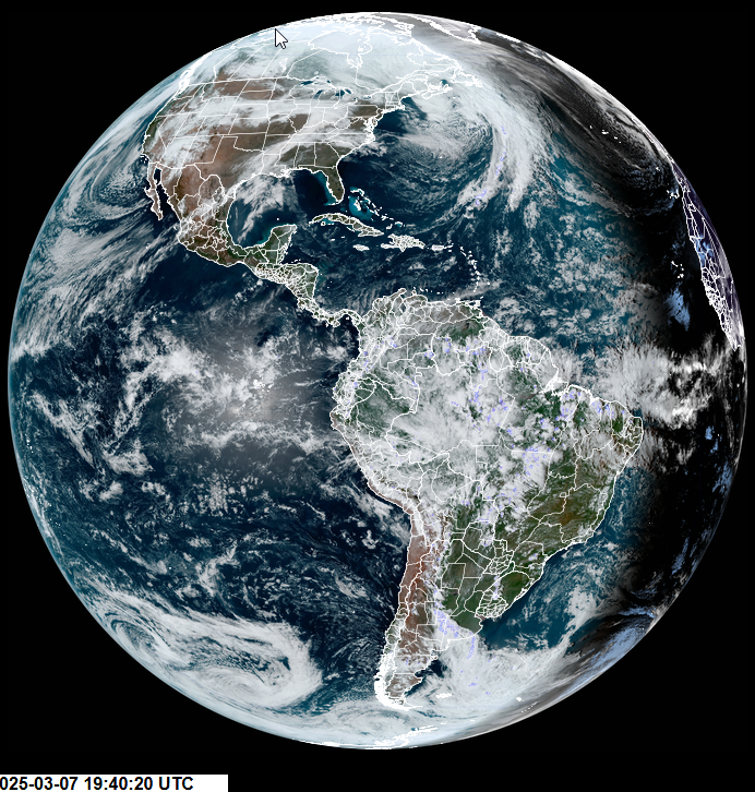
Roger Hill’s Radio Vermont Forecast 3:00 PM FRIDAY 3-7-25

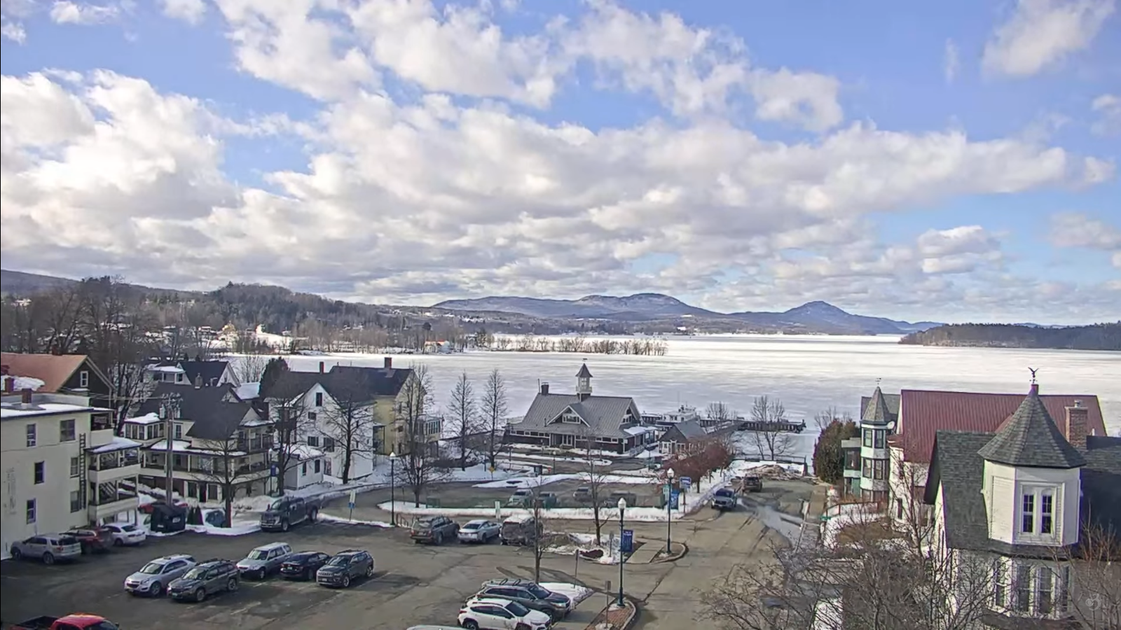
TONIGHT: Partly to mostly cloudy. Chance for evening snow showers or flurries exiting overnight. A dusting across northern areas. Blustery & colder. A low 15 to 20. West to northwest winds 10 to 15 mph.
TOMORROW: Lots of clouds. Chance for snow showers or flurries. Light coatings. A high upper teens to lower 20s. Northwest winds flare up in the afternoon at 10 to 20 mph and gusty in the afternoon.
SATURDAY NIGHT: Maybe an early evening flurry. Becoming mostly clear. A low in the low to mid-teens. Winds northwesterly 10 mph.
SUNDAY: Some morning sun, then clouding up. Rising chance light snow showers or flurries in the afternoon. Light coatings. A high around 32 degrees. West to northwest winds flare up in the afternoon 10 to 20 mph & gusty.
Looking further ahead

SUNDAY NIGHT: Mainly cloudy. Scattered light snow showers or flurries. Dusting to an inch. A low 20 to 25.
MONDAY: Mixed sun and clouds. A high mid to upper 30s.
TUESDAY: Sunshine filtered though high clouds. A low 15 to 20. Above normal in temperature. A high in the low to mid 50s with lots of snow melt.

WEDNESDAY: Partly sunny then more afternoon clouds. Lows 15 to 25. Colder. Highs 35 to 40.
Average low ranging upper-single digits to mid-teens. Average high ranging thru the 30s.

RH/3-5[forecast][end]
