
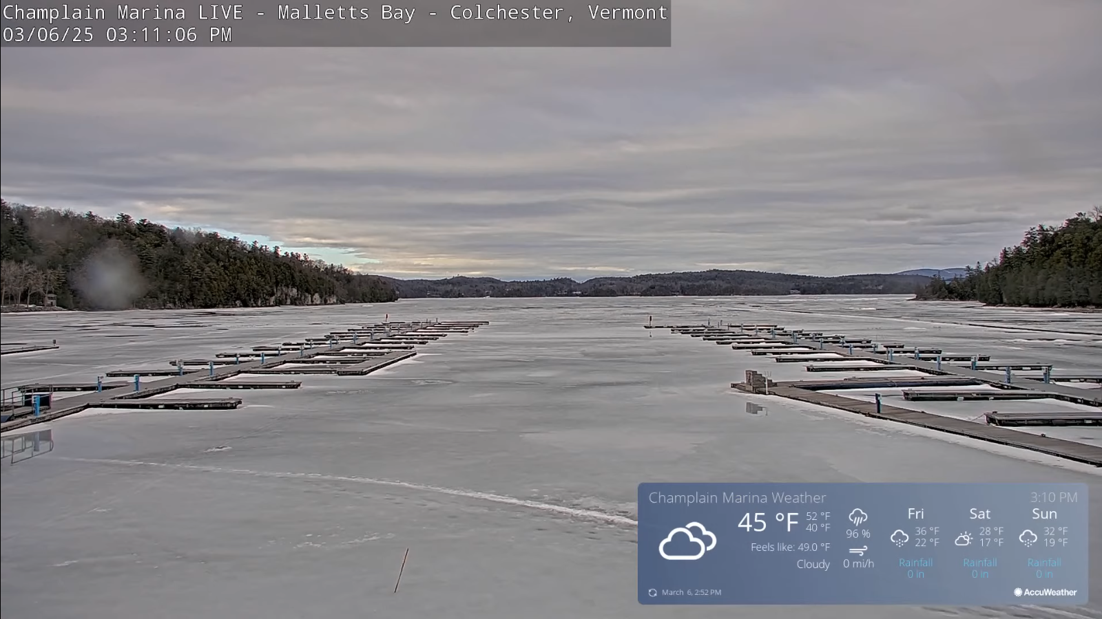
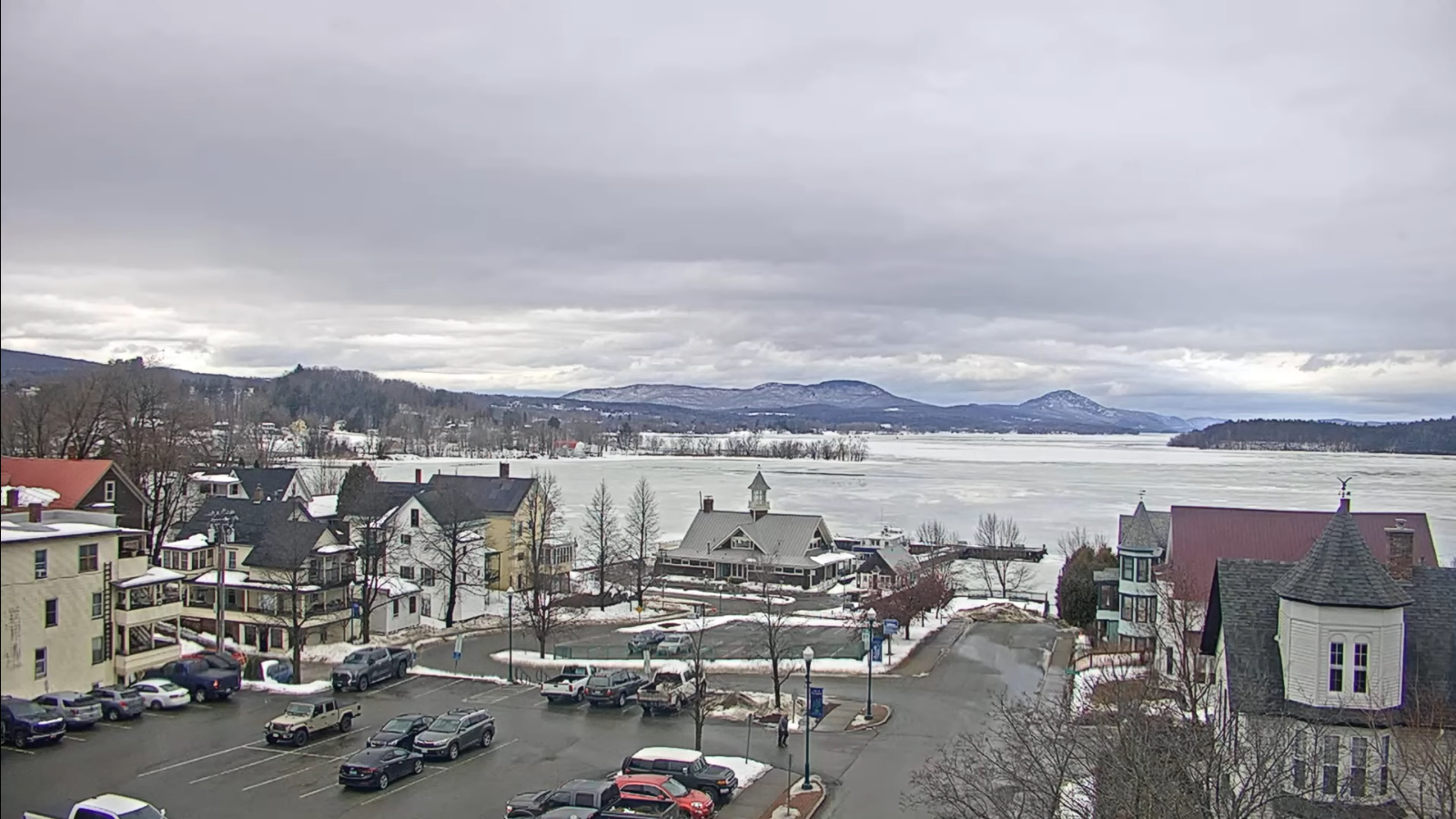
Roger Hill’s Radio Vermont Forecast 3:00 PM THURSDAY 3-6-25
TONIGHT: Cloudy blustery and sharply colder.Scattered snow showers & flurries around midnight on.Just a light coating of new snow, but watch for icy spotsA low in the mid to upper teens. Winds west to northwesterly picking up 10 to 20 mph…lowering wind chills & stronger southern areas.
TOMORROW: Chance for a passing snow shower or flurry with a dusting, then intervals of sunshine. Blustery to windy. A high in the mid to upper 20s. Northwest winds 10 to 25 mph with higher gusts over 45 mph eastern slopes of the Greens and possible power outages.
FRIDAY NIGHT: Partly to mostly cloudy. Chance for evening snow showers or flurries exiting overnight. Light coatings. Blustery & colder. A low mid to upper teens. West to northwest winds 10 to 15 mph.
SATURDAY: Mostly cloudy. Chance for snow showers or flurries. Light coatings. A high upper teens to mid-20s. Northwest winds flare up in the afternoon at 10 to 20 mph and gusty in the afternoon.
Looking further ahead
SATURDAY NIGHT: Evening flurries with a dusting dries up overnight. Clearing after midnight. A low 10 to 15.
SUNDAY: Brief morning sun, then clouding up. Rising chance light snow showers or flurries in the afternoon. Light coatings. A high 30 to 35.
MONDAY: Chance for accumulating snow showers exiting in the afternoon to sunny intervals. A low near 20. A highs 30 to 35.
TUESDAY: Sunshine filtered though high clouds. A low around 10. A high 45 to 50.
Average low ranging upper-single digits to mid-teens. Average high ranging thru the 30s.
RH/3-5[forecast][end]
