
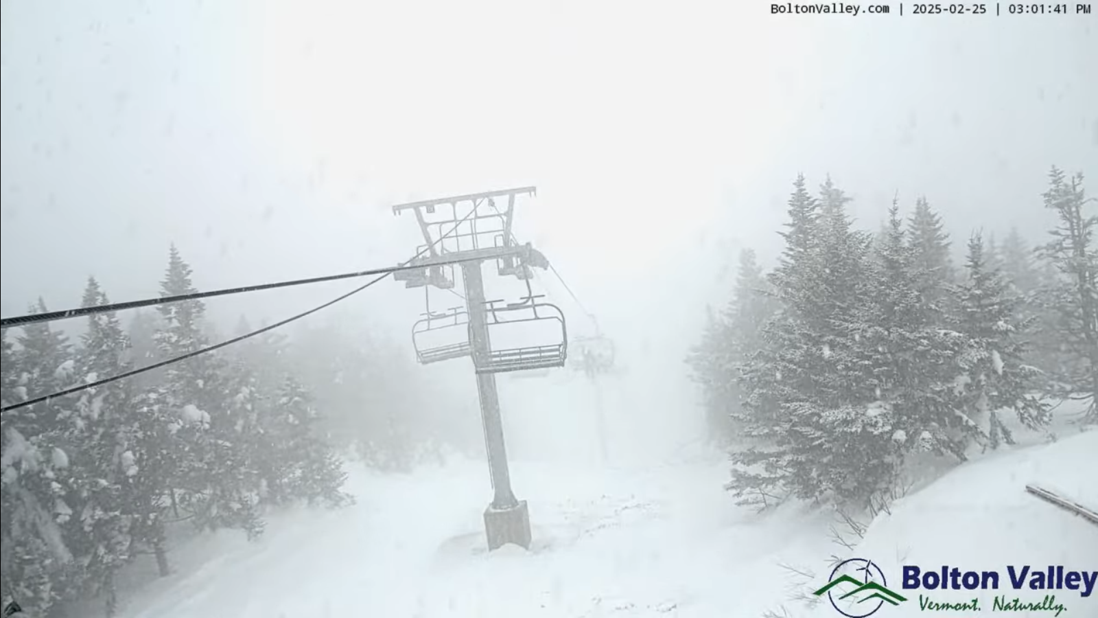
Roger Hill’s Radio Vermont Forecast 3:00 PM Tuesday 2-25-25
TONIGHT: Lots of clouds. Occasional rain showers, mixing with wet snow in the elevated terrain with a minor coating overnight in the mountains. A low 32 to 35. Light west to southwest winds.
TOMORROW: Scattered sprinkles or flurries northern and western slopes drying up in the afternoon with increasing sun. A little cooler. A high in the mid-30s. Northwest winds 10 mph.
WEDNESDAY NIGHT: Thickening clouds. Rising chances for accumulating wet snow late. A little colder. A low in the teens north and in the 20s central and south. Little wind.
THURSDAY: Mainly gray. Wet snow…moderate at times southern and central areas. A dusting to 2”accumulation, changing over to scattered sprinkles in the afternoon. A late day high around 40. (Sap run?) Southeast winds 10 mph.
Looking further ahead
THURSDAY NIGHT: Scattered snow showers north. Flurries and sprinkles otherwise cloudy. A low around 25.
FRIDAY: A round of accumulating snow showers in the morning with minor accumulation, drying up in the afternoon. Becoming blustery with increasing sunshine. Temperatures falling through the teens. Gusty northwest winds.
SATURDAY: Gray. Chance for rain showers…with wet accumulating snow in the mountains. A low zero to 10 above A high rising to near 40 late. (Sap run?)

SUNDAY: Maybe a leftover flurry early, then partial clearing with a cooling trend. A low 5 below to 5 above. A high in the low teens.
Average low ranging mid-single digits to mid-teens. Average high ranging thru the 30s.
RH/2-25[forecast][end]
