
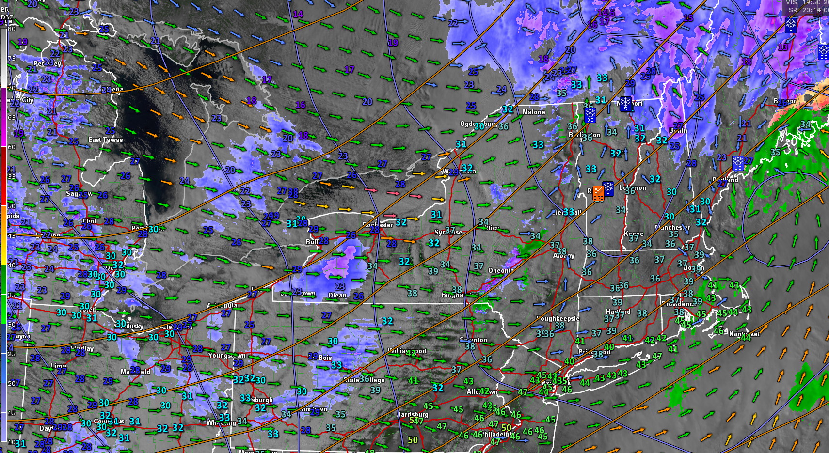
Roger Hill’s Radio Vermont Forecast 3:00 PM Thursday 2-13-25
Winter Weather Advisory expires this evening…
TONIGHT: Considerable clouds giving way to partial clearing. Turning blustery to windy with scattered northern mountain flurries. Just a dusting. A low 10 to 15. West to northwest winds 10 to 25 mph and gusty.

TOMORROW: Valentine’s Day: Morning clouds, then partly sunny blustery and cold. A high about 15 to 20. Northwest winds 10 to 25 mph and gusty lowering wind chills.
FRIDAY NIGHT: Mostly clear early then high clouds. Frigid. A low ranging 10 below to 5 above. Light northwest winds.

SATURDAY: Thickening clouds. Periods of light accumulating snow likely in the afternoon. Dusting to an inch.A high 20 to 25. Little wind.
Looking further ahead
SATURDAY NIGHT: Overcast. Periods of snow likely continuing. Additional accumulation 1 to locally 4”.A low in the teens.

SUNDAY: Gray. Good chance for lingering snow with a wintry mix southern half of the state. Accumulation of a several additional inches possible. A high in the 20s.
MONDAY: Clouds with a few leftover snow showers drying up with a light coating north. Intervals of afternoon sun. A low near 10. A high mid to upper teens.

TUESDAY: Clouds…Maybe a stray flurry far north. Otherwise periods of sun, central and south. Rather frigid. A low minus 5 to 5 above. A high 5 to 10 degrees.
Average low ranging single digits to low teens. Average high upper 20s to about 32 or freezing
RH/2-13[forecast][end]
