
Roger Hill’s Radio Vermont Forecast 3:00 PM Thursday 2-6-25
Winter Weather Advisory expires late this evening…
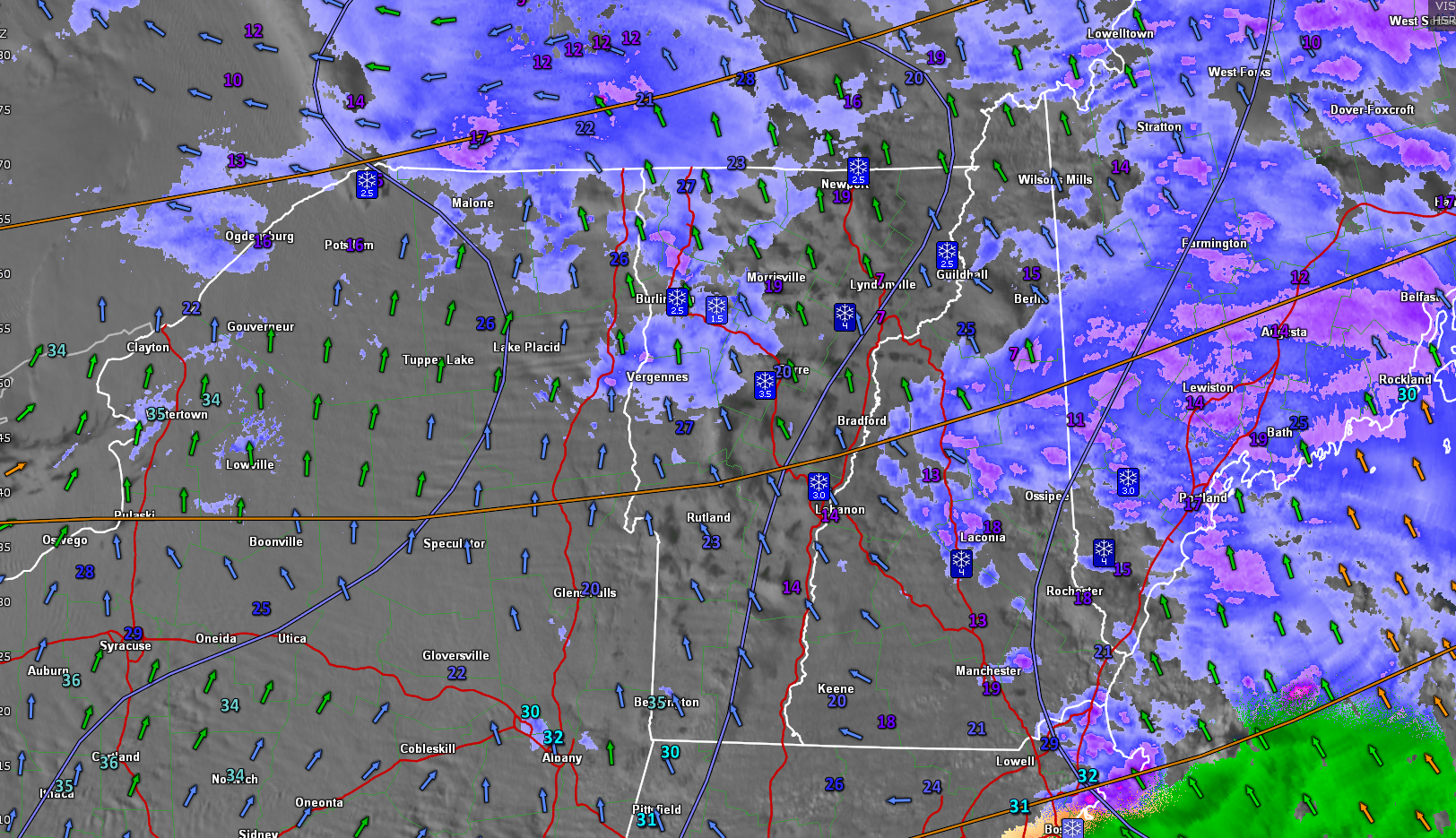
TONIGHT: Occasional flurries with a light coating northern areas, otherwise mostly cloudy. Becoming blustery at times and milder. Temperatures ranging upper 20s to mid-30s. Winds becoming southwesterly 10 to 20 mph & gusty.
TOMORROW: Morning flurries northern areas with little accumulation. Otherwise blustery to windy with breaks of sun. Temperatures in the low to mid-20s. West to northwest winds 10 to 25 mph with higher gusts east of Greens…with blowing and drifting.
FRIDAY NIGHT: Becoming partly cloudy. Chance for a few flurries especially western areas. A low around 15. Light northwest winds.
SATURDAY: Lots of clouds.A round of scattered flurries in the morning. A high lower 20s. West to northwest winds 10 to 15 mph.
Looking further ahead
SATURDAY NIGHT: Overcast. Rising chance for more light accumulating snow late evening on. About 1 to 2” accumulation. A low around 10.
SUNDAY: Cloudy. Chance for additional light accumulating snow…tapering to a few stray afternoon flurries. A high near 25.
MONDAY: A morning flurry, then becoming partly sunny. A low 5 below to 5 above. A high near 20.
TUESDAY: Brief morning sun, then clouding up. A low 5 below to 5 above. A high upper teens around 20.
Average low ranging low single digits to low teens. Average high mid-20s to low 30s.
RH/2-5-25forecast][end]
