
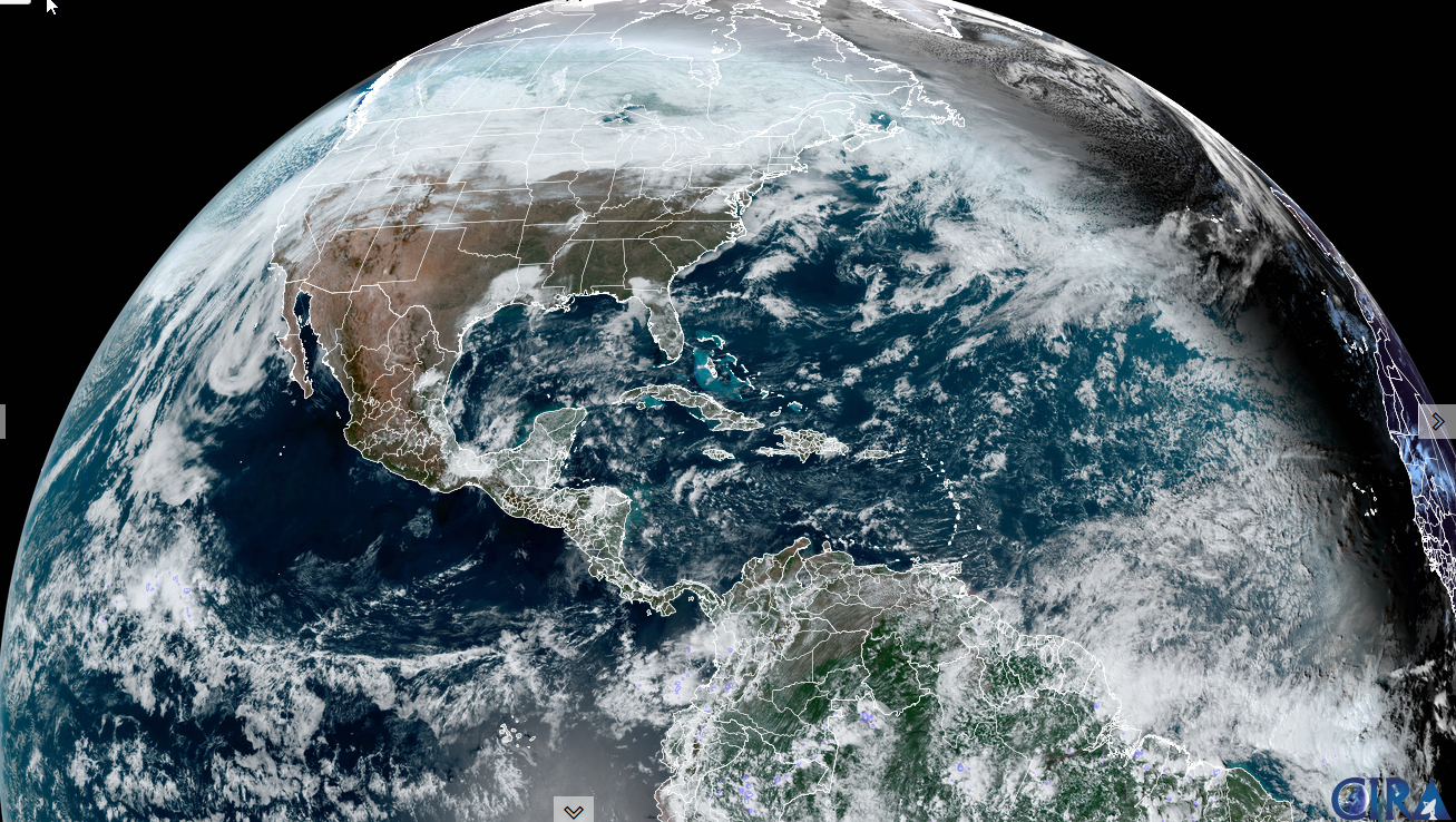
Winter Weather Advisory for portions of northern Vermont thru 7 AM Tuesday…
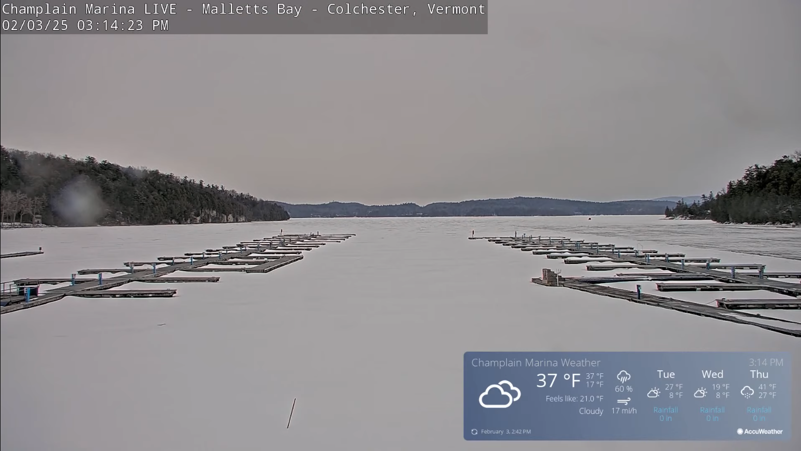
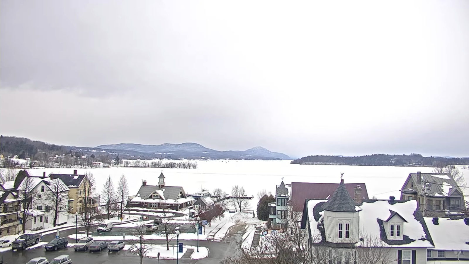
TONIGHT: Overcast. Wet slushy snow…moderate at times mixed with rain in lower valleys and parts of southern Vermont, exiting before daybreak. Accumulation of 1 to 3” locally more mountains. A low 15 to 20 north warmer south. Northwest winds 10 mph.
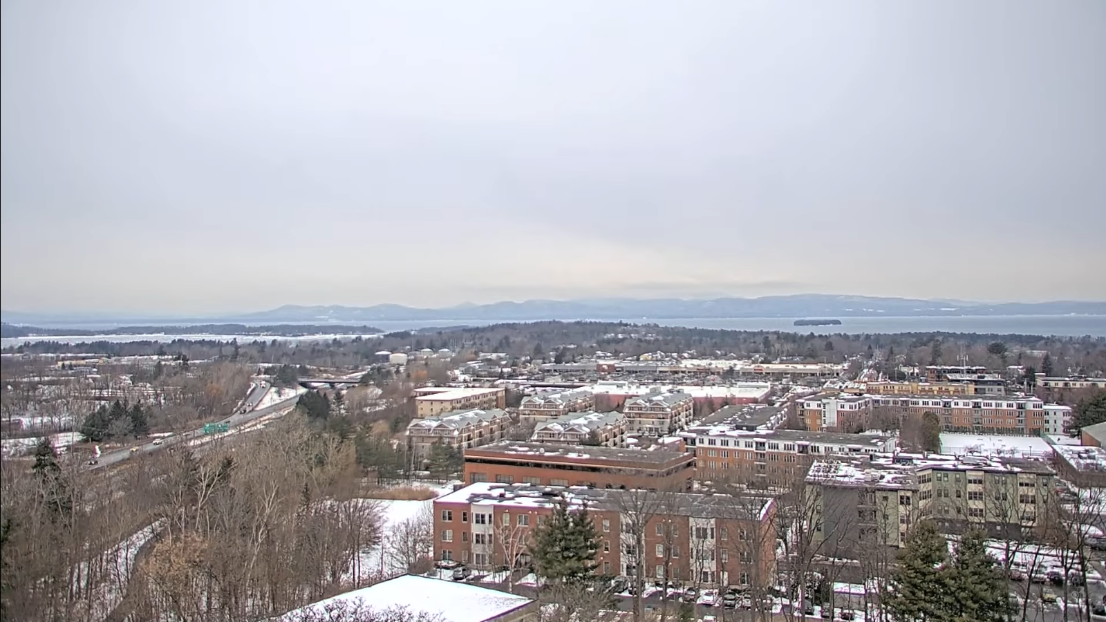
TOMORROW: Clouds with a few stray flurries giving way to intervals of afternoon sunshine. A high around 20. Northwest winds 10 to 20 mph and gusty.
TUESDAY NIGHT: Mostly clear to partly cloudy with a stray mountain flurry. Colder. A low in the single digits. Light northwest winds.
WEDNESDAY: Mostly sunny and a beauty. Rather cold. A high upper single digits to low teens. Light west winds.
Looking further ahead
WEDNESDAY NIGHT: Clear in the evening then high cloudiness. Frigid. A low 5 below to 5 above.
THURSDAY: Thickening clouds. Rising chance for snow…moderate at times…mixing with sleet and pocket of freezing rain and some icing…tapering off in the evening. Accumulation around 2 to locally 5”. Late high in the mid-20s to near 30.
FRIDAY: Chance for a snow shower or flurry early, with minor coatings, then periods of afternoon sun. An early high 30 to 35 then blustery to windy at times and sharply colder.
SATURDAY: Lots of clouds.Maybe a late day flurry with chance for more accumulating snow arriving before midnight.Lows 10 to 15. A high 20 to 25.
Average low ranging low single digits to low teens. Average high mid-20s to low 30s.
RH/2-3-25forecast][end]
