
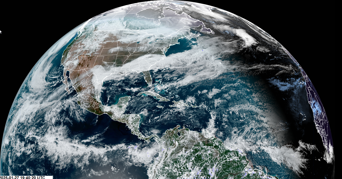
Roger Hill’s Radio Vermont Forecast 3:00 PM Monday 1-27-25
TONIGHT: Clouding up. Chance for snow showers or flurries developing. A dusting to an inch far north. Low in the upper teens around 20. Blustery at times. Southwest winds 10 to 20 mph.
TOMORROW: Snow showers with a risk of a snow squall or two drying up late morning on. Less than an inch.Increasing afternoon sunshine.Sharply colder with temperatures falling into the single digits.Winds shifting southwesterly to northwest 10 to 20 mph, with some blowing and drifting and lowered wind chills.
TUESDAY NIGHT: Partly cloudy early before more clouds. A rising chance for light accumulating snow showers or flurries. Minor accumulation. An evening low 5 below to 5 above. Light south winds.
WEDNESDAY: Gray.Occasional light snow or flurries. Accumulations of 1 to 2 inches.Highs ranging thru the teens north and 25 to 30 central and south. Light winds become northwesterly 10 mph in the afternoon.
Looking further ahead
WEDNESDAY NIGHT: Scattered flurries with a dusting, then partial clearing. A low ranging 5 below to 10 above.
THURSDAY: Clouds with periods of afternoon sunshine.A high in the mid-teens.
FRIDAY: Mostly gray with a chance for light snow showers. Some accumulation.A low near zero. A high near 35.
SATURDAY: A few clouds, then mostly sunny. A low 10 below to 5 above. A high in the single digits.
Average low ranging low single digits to low teens. Average high mid-20s to low 30s.
RH/1-27-25forecast][end]
