
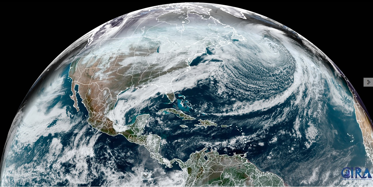
Roger Hill’s Radio Vermont Forecast 3:00 PM Monday 1-13-25
Full Wolf Moon at 5:27 PM
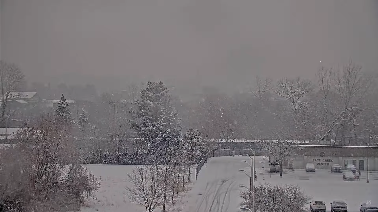
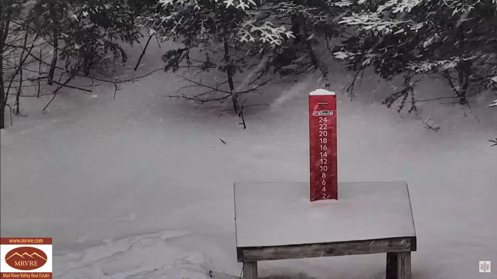
TONIGHT: Generally cloudy. Flurries or brief accumulating snow showers or squalls mainly north. A low 15 to 20. Light southwest winds.
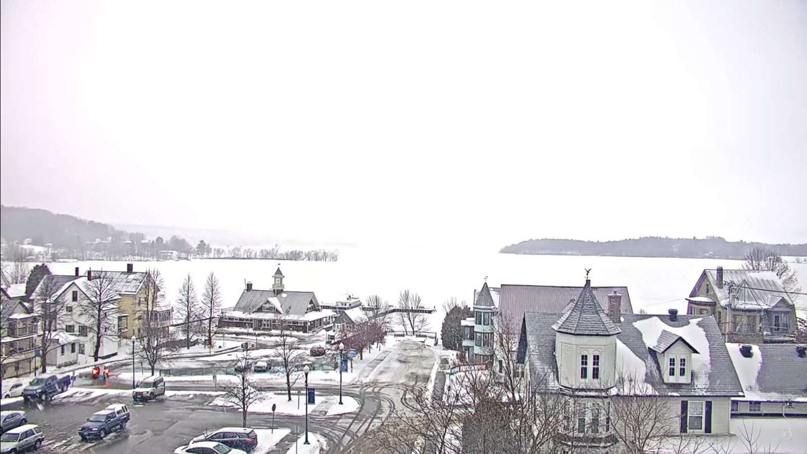
TOMORROW: Gray. Chance for flurries northern areas. A high in the mid-20s. Westerly winds 10 to 15 mph.
TUESDAY NIGHT: Considerable clouds. Scattered accumulating snow showers or flurries. A low 10 to 15. Winds becoming northwesterly 10 to 15 mph.
WEDNESDAY: Clouds with stray early flurry, mixing with intervals of sun. Colder. A high in the low to mid-teens. Northwest winds 10 to 15 mph.
Looking further ahead
WEDNESDAY NIGHT: Becoming partly cloudy. A low ranging 5 below to 10 above.
THURSDAY: Mainly gray. Maybe a flurry. Warming trend. A high in the upper teens to low 20s.
FRIDAY: Cloudy.A low ranging near zero to 15 above. A high around 25.
SATURDAY: Overcast.Rising chance for light accumulating snow or flurries. A low in the mid-20s. A high about 35.
Average low ranging thru the single digits. Average high mid-20s to 30.
Peak Meteorological Winter 1-23-25
RH/1-13-25forecast][end]
