

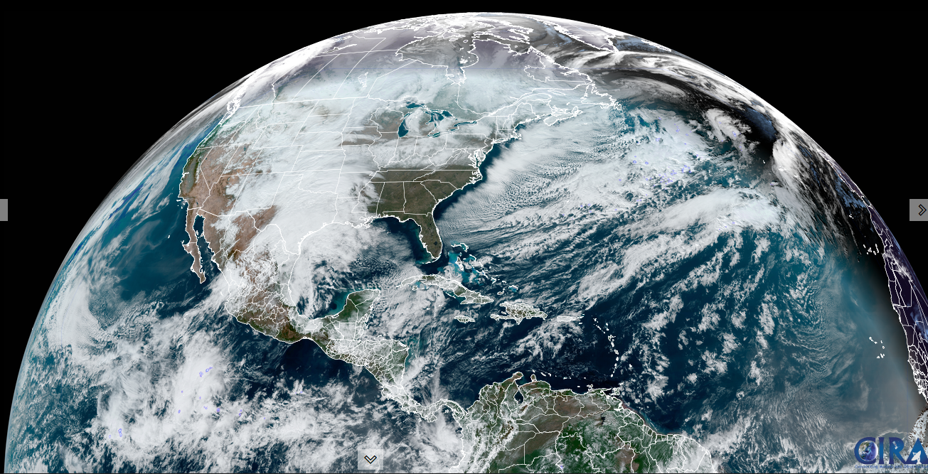
Roger Hill’s Radio Vermont Forecast 3:00 PM Thursday 1-9-25
TONIGHT: Considerable clouds. Scattered flurries with a dusting. Temperatures in the mid-teens. Northwest winds 10 mph.
TOMORROW: A few northern mountain flurries, otherwise clouds mixing with intervals of sun eastern and southern areas. A high in the low 20s. Northwest winds 10 mph.
FRIDAY NIGHT: Thickening clouds…leading to a rising chance for flurries late. A light coating late. A low mid-teens. Little wind.
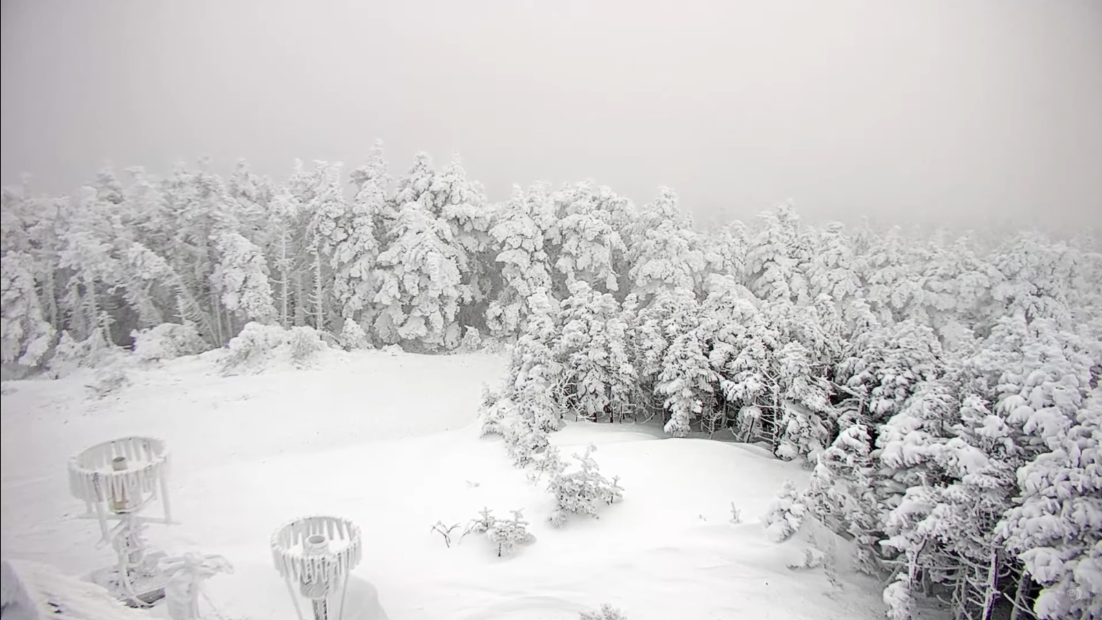
SATURDAY: Gray. Chance for light spotty accumulating snow or flurries. Dusting to an inch. A high lower 20s. Light southeast winds.
Looking further ahead

SATURDAY NIGHT: A lingering flurry northern areas, then becoming partly to mostly late. A low near 15.
SUNDAY: Clouds, with periods of afternoon sun. A high near 25. (to feel like a mild day)

Full Wolf Moon Monday at 5:27 PM
MONDAY: Mostly cloudy. Scattered northern flurries early. A low 5 to 15. Near seasonable highs pushing 30 degrees.
TUESDAY: Mainly gray. Chance for flurries northern areas. A low 15 to 20. A high around 25.
Average low ranging thru the single digits. Average high mid-20s to near 30.
Peak Meteorological Winter 1-23-25
RH/1-8-25forecast][end]
