
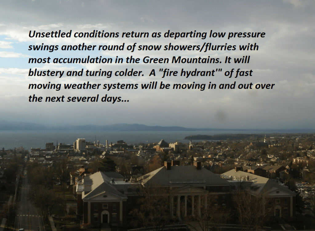
Roger Hill’s Radio Vermont forecast 3:00 PM Thursday 12-5-24
TONIGHT: Lots of clouds & blustery. Accumulating snow showers near the Green Mountains with lighter snowfalls or flurries elsewhere winding down overnight. Accumulations of a dusting…to locally 3” northern Green Mountain Ski Resorts. A low-upper teens. Northwest winds 10 to 20 mph and gusty.
TOMORROW: Morning clouds giving way to intervals of sunshine. Blustery and cold. A high in the upper teens to low 20s. Northwest winds 10 to 20 mph.
FRIDAY NIGHT: Considerable cloudiness. Scattered light lake effect snow showers or flurries after midnight. Minor accumulation. An early evening low around 15. Light southwest winds.
SATURDAY: Mainly cloudy & rather cold. Scattered flurries early then drying up. Little accumulation. A high in the low 20s. Light west winds.
Looking further ahead
SATURDAY NIGHT: Cloudy. Good chance for snow showers developing overnight, with accumulations around an inch. A low 5 to 10 above.
SUNDAY: Gray. Chance for light snow showers…dusting to an inch northern areas. A high near 40
MONDAY: Increasing clouds. Chance for rain or mixed precipitation developing in the afternoon. A low around 30. A high around 40.
TUESDAY: Cloudy. Chance for rain or mixed precipitation…possibly significant amounts with slick travel. A low around 32. A high low to mid 40s.
Average low mid-teens to low 20s. Average high 35 to 40
*This forecast and to be issued – Monday thru Friday.
RH/12-5forecast][end]
