
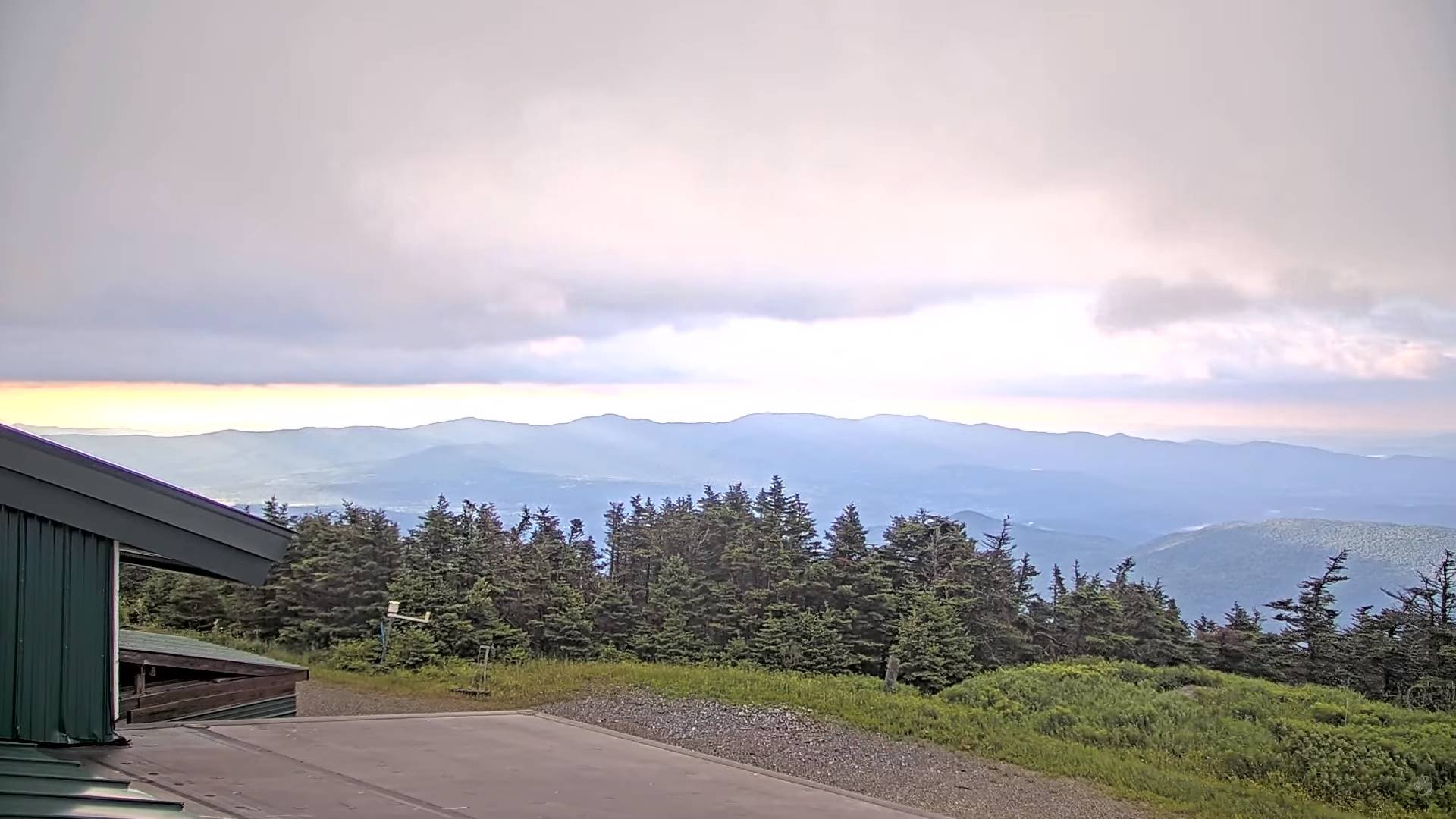
TODAY: A couple passing showers this morning, then filtered sunshine thru high clouds. Warmer and a little muggier with a high in the low 80s. West breeze 10 to 15 mph in the afternoon.
TONIGHT: Mainly cloudy. A period of rain or showers becoming likely late this evening before exiting to partial clearing around daybreak. A low in the low 60s. Light southwest winds.
THURSDAY: Mixed sun and clouds. A few passing showers with isolated rumbles of thunder mid-afternoon or so. Moderately humid. A high in the low 70s. West to northwest breeze 10 to 15 mph.
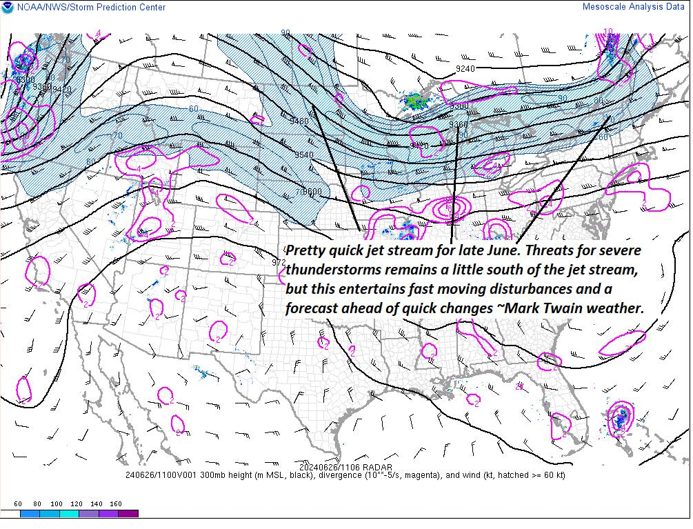
Looking further ahead
THURSDAY NIGHT: Clear & partially moonlit. Patchy valley fog. A low near 50.
FRIDAY: Mostly sunny and cool after patchy valley fog. A high upper 60s around 70.

SATURDAY: Gray. Rising chance for showers, & a risk of embedded thunderstorms in the evening. A low 50 to 55. A high upper 60s to low 70s and muggy.
SUNDAY: Transition day. Clouds with scattered leftover showers early, gives way to partial afternoon sunshine. More humid. A low 60 to 65. A high around 80.

MONDAY: Mixed clouds and sun. Scattered showers with a risk for thunder. A low in the upper 50s. A high around 70.
Average lows low to mid 50s. Average high mid-70s to low 80s
RH/6-24forecast][end]
