

TODAY: Pick of the week. A beauty! Morning valley fog then mostly sunny with a few high clouds in the afternoon. A high in the low 80s. Light west to southwest winds
TONIGHT: Becoming mostly cloudy. Rising chance for showers and a few embedded thunderstorms overnight…some heavy northern areas. More muggy. A low 60 to 65. Light south winds breezy near the lake.
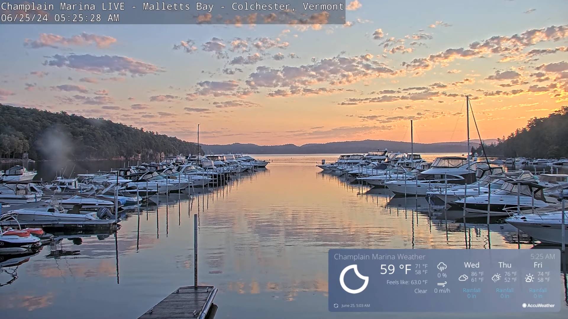
WEDNESDAY: Maybe a leftover shower or two, then Partial morning sun, then more afternoon clouds. Warmer and a little muggier. A high close to 80. West breeze 10 to 15 mph.

Looking further ahead
WEDNESDAY NIGHT: Mainly cloudy. Good chance for showers and a few heavy thunderstorms mainly southern areas. Partial clearing toward daybreak. A low near 60.
THURSDAY: Mixed sun and clouds. A few passing showers with isolated rumbles of thunder mid-afternoon or so. A high 70 to 75.
FRIDAY: Mostly sunny and cool after patchy valley fog. A low in the upper 40s. A high upper 60s.
SATURDAY: Mainly cloudy. Rising chance for rain or showers, maybe some rumbles of thunder in the evening. A low in the low 50s. A high in the 70s.
SUNDAY: Transition day. Clouds with a chance for lingering showers, gives way to periods of afternoon sunshine. More humid. A low around 60. A high around 80.

Average lows low to mid 50s. Average high mid-70s to low 80s
RH/6-24forecast][end]
