
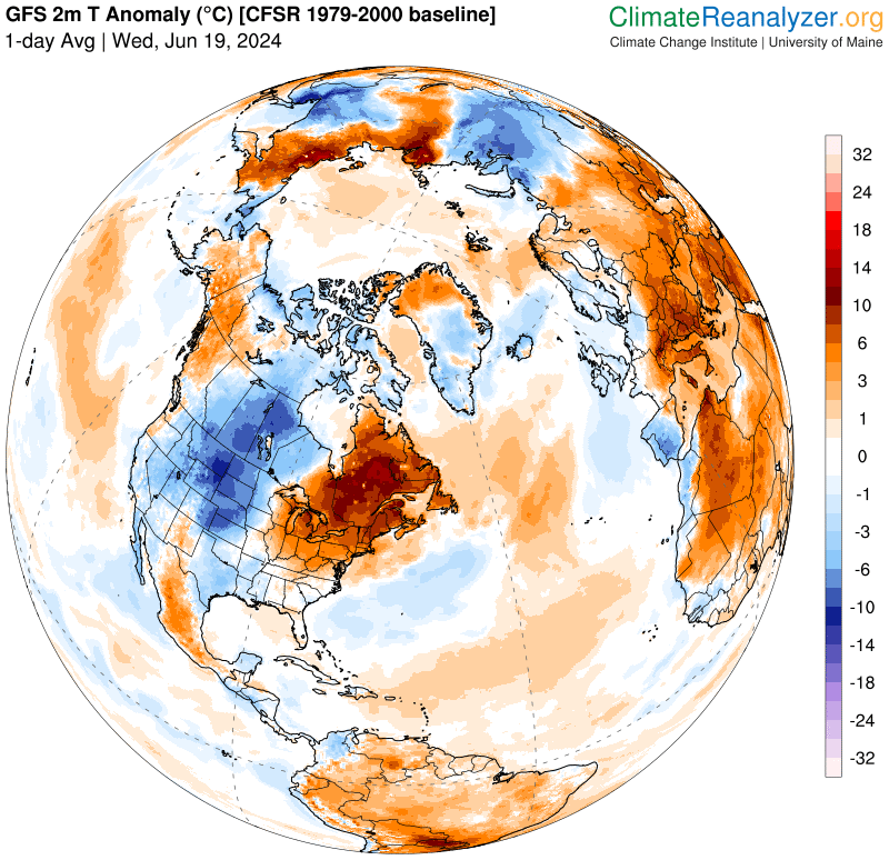
Heat Advisory thru into Thursday evening…
TONIGHT: High cloudiness otherwise fair, moonlit and sticky. A low around 70. Light southwest winds.
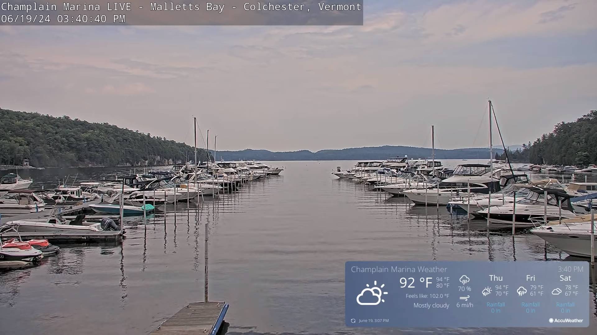
TOMORROW: Mixed clouds and sun. Showers and thunderstorms becoming likely in the afternoon, some strong to locally severe with gusty winds and heavy downpours. A high 90 to 95. Heat indices around 100 degrees. Winds light west to southwesterly.
Summer Solstice 4:51 PM Thursday June 20th
THURSDAY NIGHT: Partly to mostly cloudy. Scattered early evening showers and thunderstorms winding down. A low 65 to 70. Light west winds.
Full Strawberry Moon 9:08 PM Friday evening
FRIDAY: Variable cloudiness, not so hot, but still muggy. Showers and thunderstorms…some strong to locally severe southern areas. Partial late afternoon sun north. A high upper 70s. Winds becoming northwesterly 10 mph later in the afternoon.
Looking further ahead

FRIDAY NIGHT: A couple lingering showers and storms eastern areas. Otherwise, lots of clouds. A low upper 50s around 60.
SATURDAY: Considerable cloudiness, cooler and less humid. Chance for showers, possible thunderstorms late western & southern areas. A high mid to upper 70s.
SUNDAY: More clouds than sun. Scattered showers & possible afternoon thunder. A low around 60. A high 80 to 85.
MONDAY: Variable clouds, scattered showers and afternoon thunderstorms. A low 60 to 65. A high near 80.
Average lows in the low to mid 50s. Average high mid to upper 70s
RH/6-17forecast][end]
