

TODAY: Morning clouds with scattered showers and isolated rumbles of thunder, exiting to periods of filtered afternoon sun. A high upper 70s near 80, becoming notably less humid. West to southwest breeze 10 mph.
TONIGHT: Clear & moonlit. Patchy valley fog.A low 50 to 55. Light southwest winds.

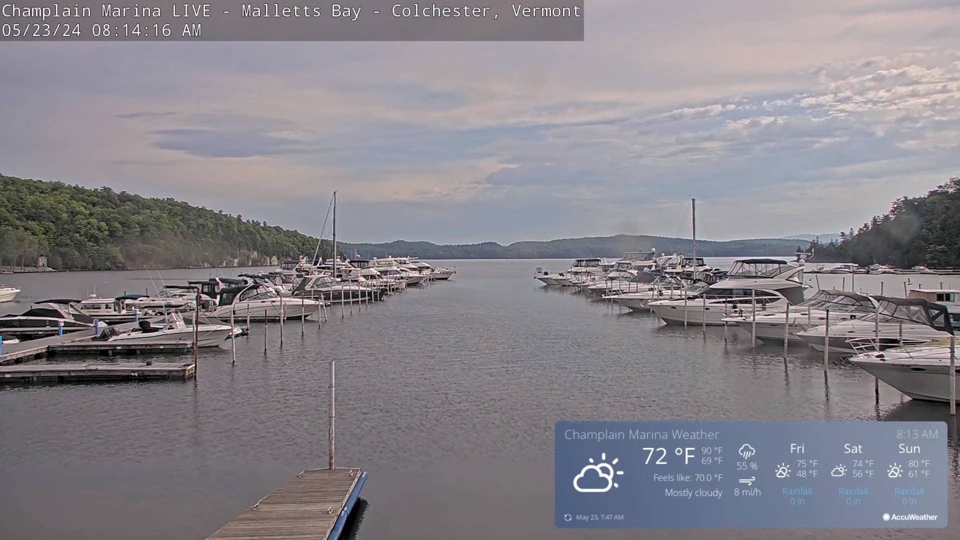
FRIDAY: Pick of the week. Sunshine with a few high clouds. Comfortable & becoming breezy. A high around 75. Gusty west to northwest winds 10 to 25 mph.
Looking further ahead
FRIDAY NIGHT: Mostly clear with a more clouds overnight.A low mid to upper 40s.

SATURDAY: Lots of sunshine & seasonable giving way to late day cloudiness with scattered showers possible northern areas Saturday night. A high in the lower 70s.
SUNDAY: Morning clouds with a threat for a shower far north. Otherwiseclouds mixed with lots of afternoon sun.A low around 55. A high in the upper 70s.
MONDAY MEMORIAL DAY: Mainly gray. Chance for showers with a rumble of thunder. Cooler. A low around 55. A high near 75.
TUESDAY: Morning clouds then intervals of sun. Chance for a shower late. A low in the mid-50s. A high 65 to 70.
Average lows range thru the 40s. Average highs mid-60 to low 70s.

Start of meteorological summer June 6th
RH/5-23forecast][end]
