
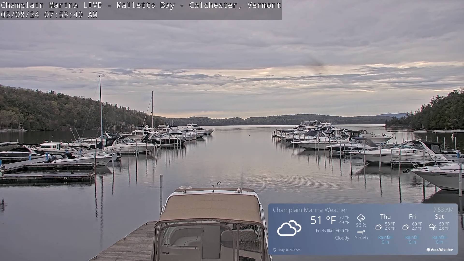
TODAY: Cloudy and cool. A few breaks of sun possible later on. Showers developing this morning, moderate at times. A few rumble of thunder possible southern areas this morning, and central and northern areas this afternoon. A high upper 50s. Southeast winds 10 mph in the afternoon.
TONIGHT: Mostly cloudy.Scattered lingering showers. A low in the mid-40s. Light northwest winds.
THURSDAY: Gray. Scattered showers becoming more numerous in the afternoon. A high around 55. North winds 10 mph.

Looking further ahead
THURSDAY NIGHT: Partly cloudy in the evening clouding up overnight. Slight chance for showers southern areas late.A low about 45.
FRIDAY: Continued mainly gray & chilly. Chance for showers, especially southern areas. A high in the lower 50s.
SATURDAY: Morning sun mixing with afternoon clouds. Widely scattered light showers, maybe a wet snow flakes at the summits. A low upper 30s around 40. A high in the mid to upper 50s.
SUNDAY: Cloudy. Chance for a few showers, maybe wet snow flakes mountain summits. A low around 40. A high in the 50s.
Average lows mid-30s to lower 40s. Average highs low to mid-60s.
Start of meteorological summer June 6th
RH/5-8forecast][end]
