
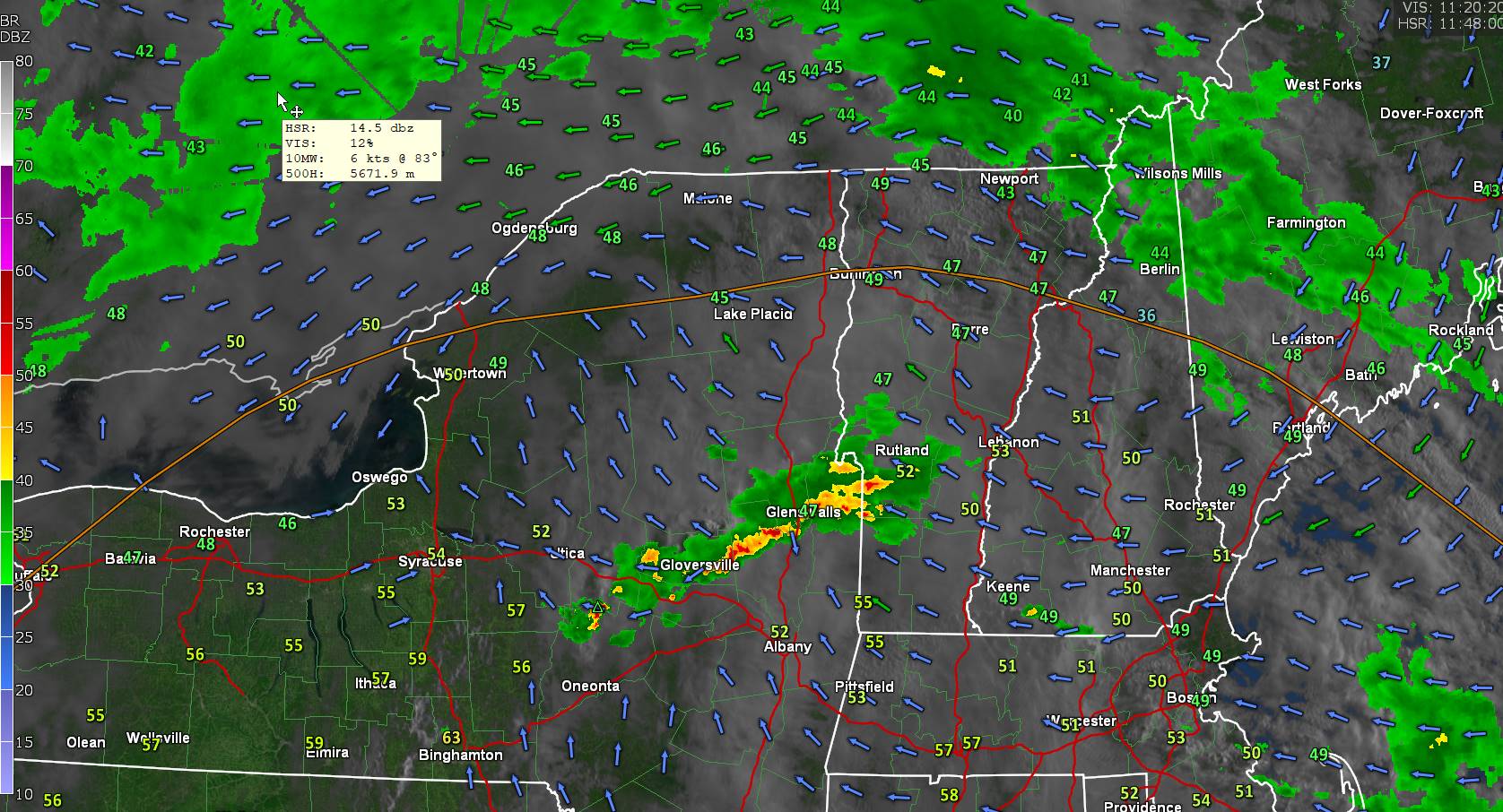
TODAY: Considerable clouds. Scattered showers…moderate at times maybe a rumble of thunder. A high mid-50s to low 60s warmest western Vermont valleys. Southeast winds 10 mph.
TONIGHT: Cloudy.Showers, moderate at times, drying up after midnight. A low in the mid-40s. Light southeast winds.

WEDNESDAY: Mainly gray with a threat for a few misty sprinkles near the mountains, with a few breaks of afternoon sun.A high in the lower 60s. Winds light and variable.
Looking further ahead
WEDNESDAY NIGHT: Partly cloudy.A low around 45.

THURSDAY: Clouds mixing with intervals of sunshine. Scattered showers, some moderate at times with a rumble of thunder. A high 60 to 65.
FRIDAY: Thickening clouds. Isolated mountain sprinkles. A low mid to upper 40s. A high 60 to 65.
SATURDAY: Partial sunshine, early then more clouds in the afternoon. A low in the mid-40s. A high low to mid 60s.
SUNDAY: Lots of clouds. Scattered showers late morning on. A low 40 to 45. A high 55 to 60.

Average lows low 30s to near 40. Average highs upper 50s to mid-60s.
Start of meteorological summer June 6th
RH/4-29forecast][end]
