
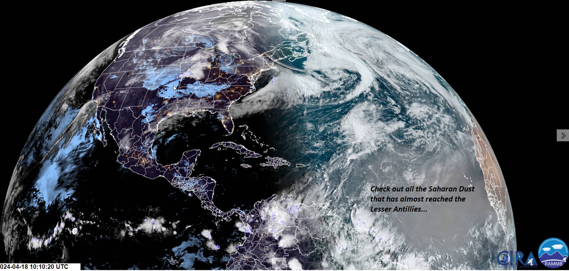
TODAY: Mainly cloudy, with a few intervals of sun northern & eastern areas. Cooler. Rain showers developing southwest to northeast…mid-day Barre-Montpelier area and late afternoon Northeast Kingdom. A high mid to upper 40s. Southeast breeze 10 mph.
TONIGHT: Lots of clouds. Scattered passing rain showers, with a wet snowflake mountain summits. A low in the upper 30s. Light southeast winds.
FRIDAY: Mainly gray with a threat for a late sprinkle. A high about 55. Southeast breeze 10 to 15 mph.
Looking further ahead
FRIDAY NIGHT: Cloudy. Scattered showers.A low 40 to 45.
SATURDAY: Mixed sun and clouds. Chance for a shower late. A high about 50.
SUNDAY: Considerable cloudiness. Maybe a sprinkle/mountain wet snow flake northern areas late. A low 32 to 35 with a chance for frost. A high in the upper 40s near 50.
MONDAY: Mostly sunny. A low 32 to 35. A high in the mid-50s.
TUESDAY: Gray. Widely scattered sprinkle late. A low 30 to 35. A high 55 to 60.
WEDNESDAY: Cloudy, with partial late afternoon sunshine. A low around 40. A high in the mid to upper 40s.
Average lows upper 20s to mid-30s. Average highs in the mid to upper 50s.
Start of meteorological summer June 6th
RH/4-16forecast][end]
