
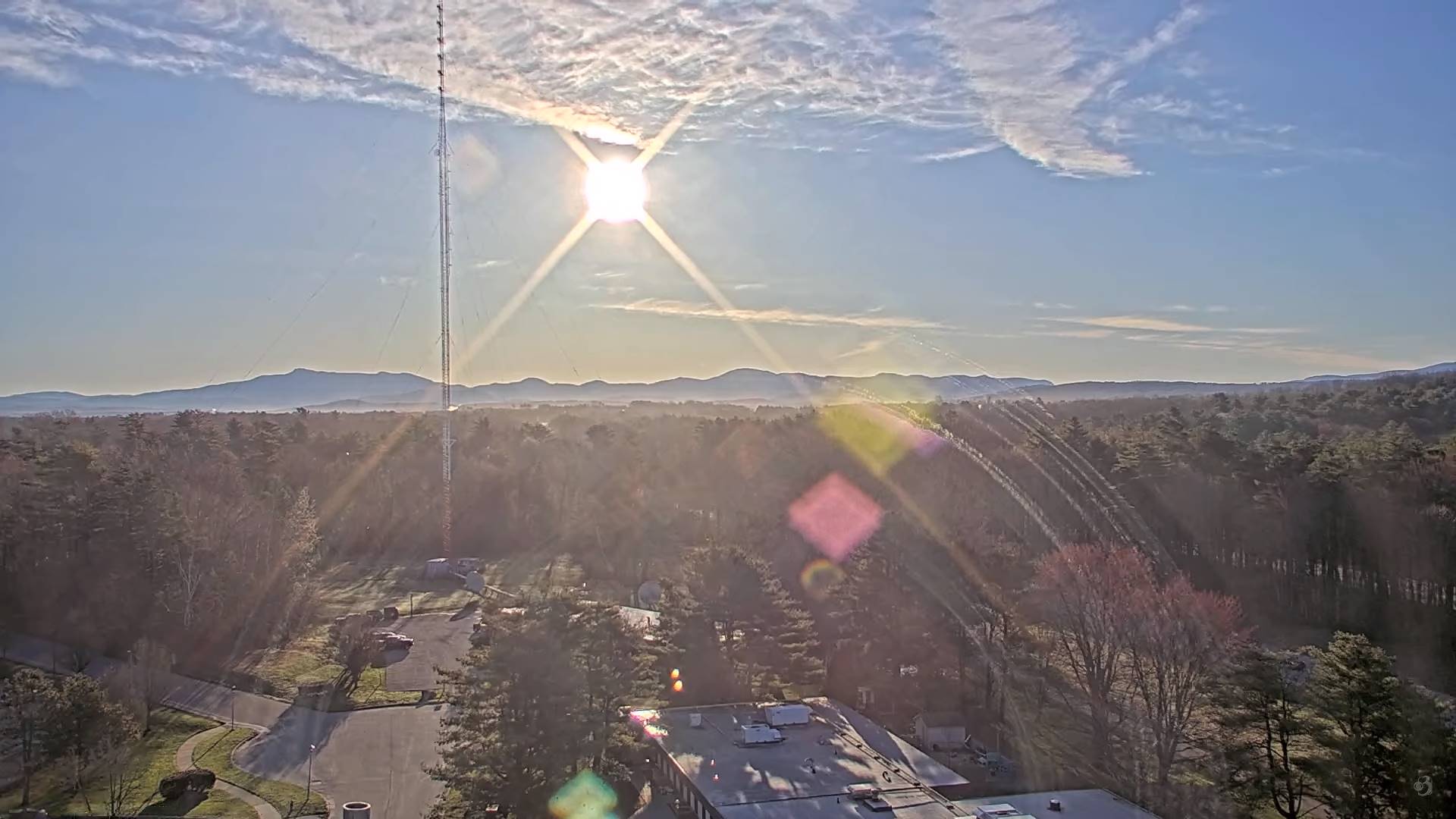
TODAY: Morning sunshine gives way to occasional high cloudiness. A high in the mid-50s. Light north winds.
TONIGHT: High cloudiness, thickening up western and southern Vermont late with a sprinkle. A low 35 to 40. Light east winds.
THURSDAY: Mostly cloudy, but with some sunny intervals Northeast Kingdom. A little cooler. A rising chance for light rain showers late morning into the afternoon. A high near 50. Southeast breeze 10 mph.
Looking further ahead
THURSDAY NIGHT: Lots of clouds. Chance for an evening sprinkle. A low upper 30s near 40.
FRIDAY: Mainly gray. Scattered light rain showers or sprinkles. A high about 55.
SATURDAY: A few early mountain sprinkles then clouds mixing with periods of sunshine. A low 40 to 45. A high about 50.
SUNDAY: Mostly cloudy. Scattered afternoon showers, possibly mixed with a wet snow flakes northern Greens. A low 32 to 35 with a chance for frost. A high mid to upper 40s.
MONDAY: Variable cloudiness. A low 30 to 35. A high in the mid-50s.
TUESDAY: Partly sunny. A low 32 to 35. A high 55 to 60.
Average lows upper 20s to mid-30s. Average highs in the mid to upper 50s.
Start of meteorological summer June 6th
