
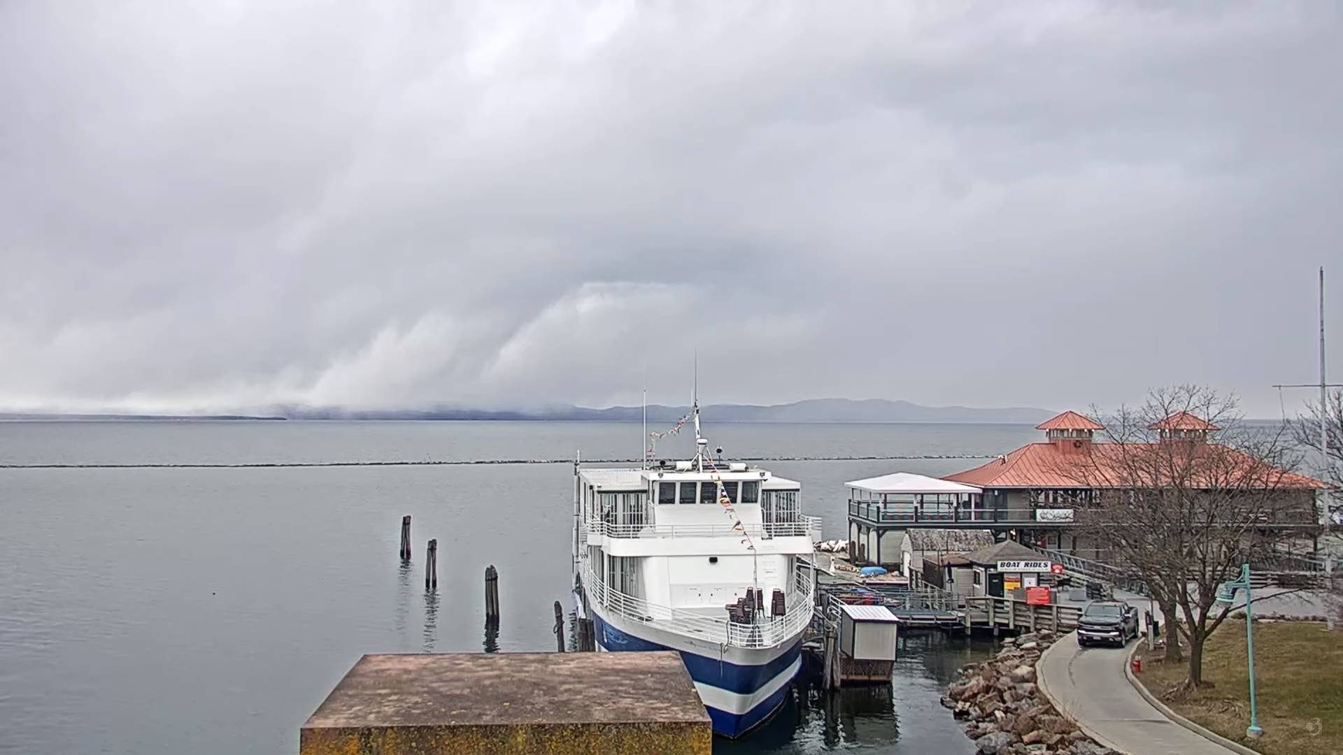
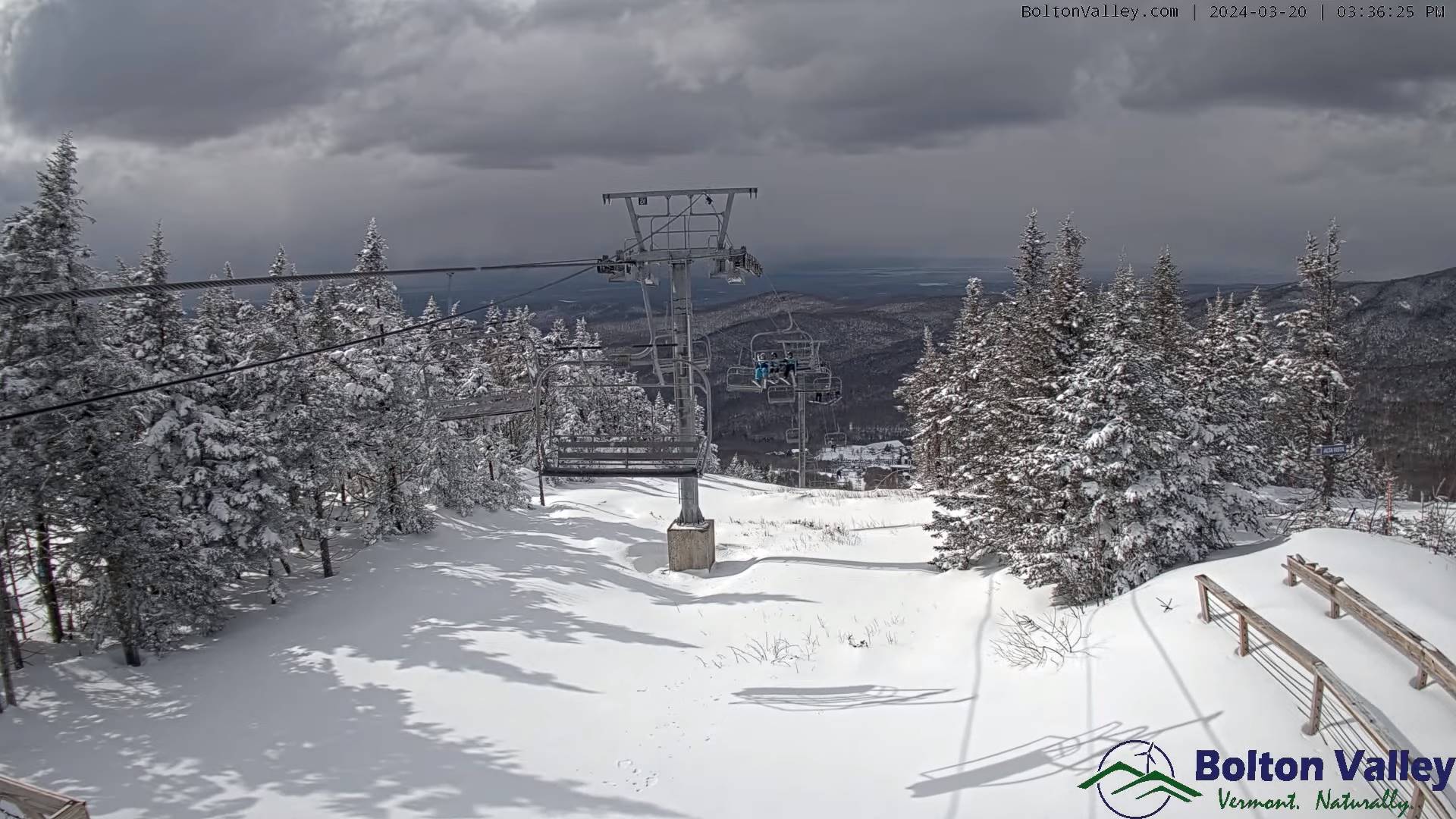
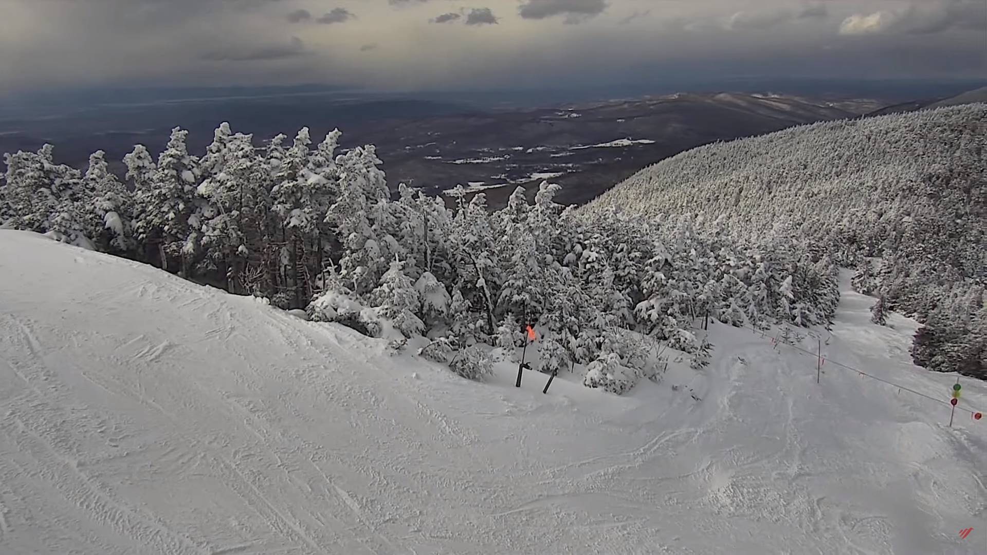
TONIGHT: Scattered mountain snow showers or flurries with a risk for a snow squall this evening. Additional accumulations of 1 to locally 4” higher terrain.Otherwise variably cloudy.A low mid to upper teens. West winds 10 to 15 mph.
TOMORROW: Clouds with breaks of sun with late partial clearing. Blustery to windy. A few mountain flurries. A high 25 to 30. Gusty northwest winds 10 to 25 mph with higher gusts eastern slopes of the Green Mountains.
THURSDAY NIGHT: Becoming mostly clear & partially moonlit. A low 10 to 15. Northwest winds 10 to 15 mph lowering wind chills
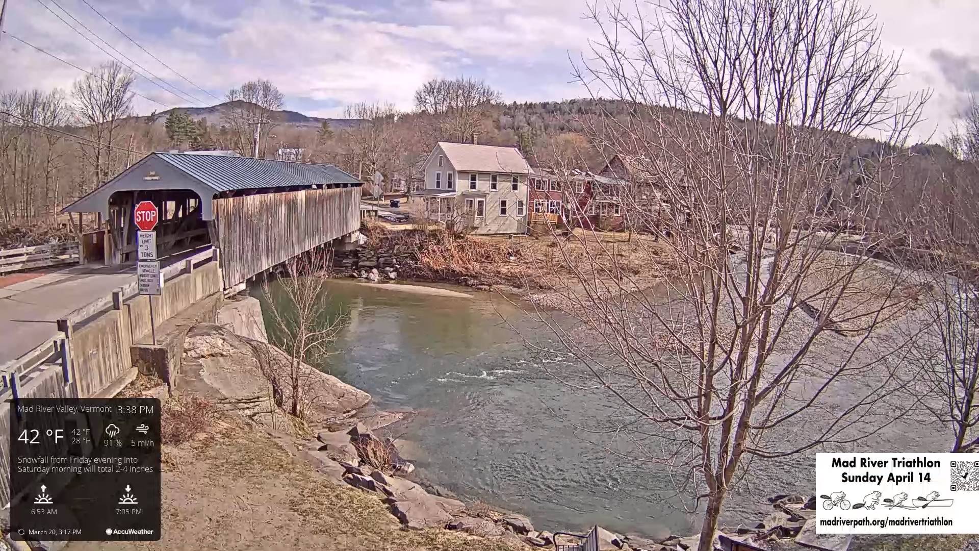
FRIDAY: Pick of the week. Morning sunshine gives way to thickening clouds. Rather cold. A high ranging mid-20s to low 30s southern areas. Light northwest winds.
Looking further ahead
FRIDAY NIGHT: Cloudy. Snow likely…moderate to heavy at times with a wintry mix southern areas. A few to several inches of accumulation. A low around 25.
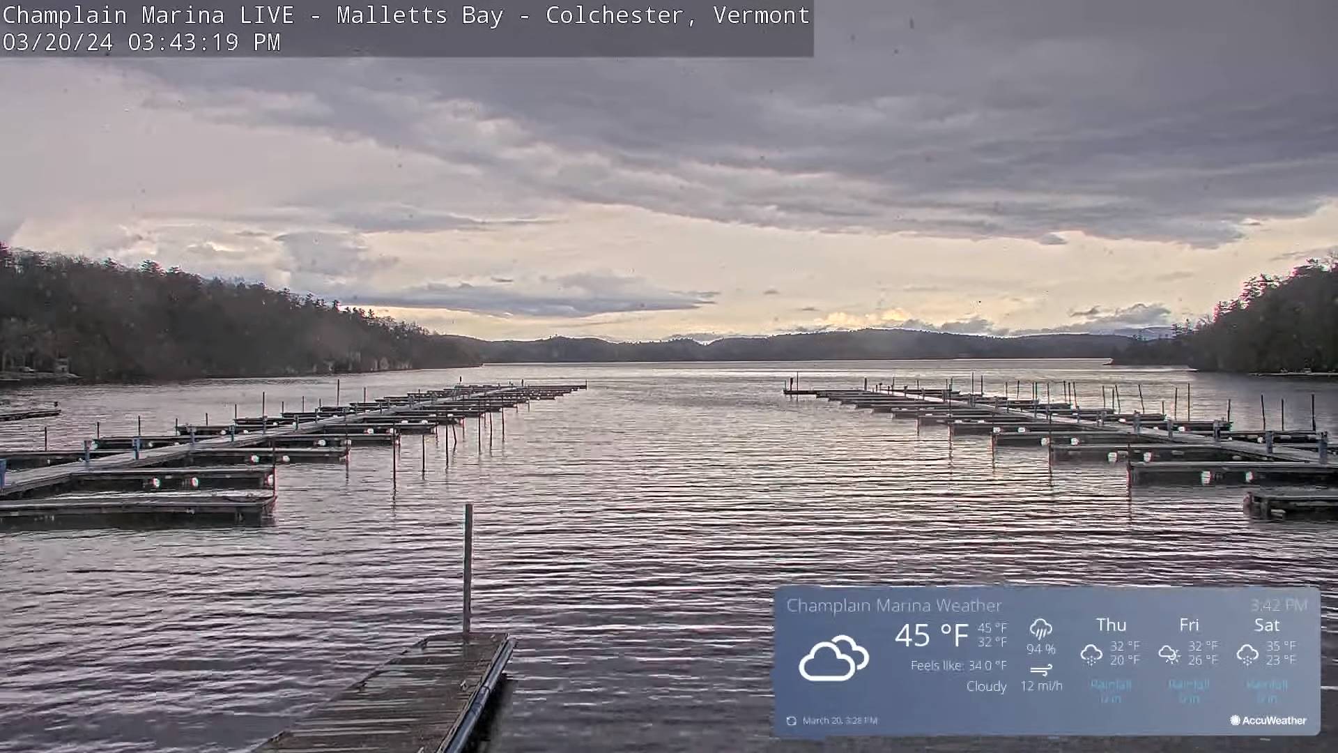
SATURDAY: Gray and wintry. Good chance for accumulating snow…moderate to heavy at times exiting late. Potential significant accumulation…some of it wet southern areas, with a wintry mix far southern Vermont. A high 30 to 32 degrees central Vermont north, 35 degrees south.
SUNDAY: High cloudiness early gives way to mostly sunny skies and a beauty. A low 15 to 20. A high near 35.
MONDAY: Sunshine becoming filtered thru high cloudiness. A low in the upper teens. A high in the upper 30s to near 40.
Total Solar Eclipse April 8th 3:25 PM EDT
End or meteorological winter was March 9th Start of meteorological summer June 6th
Average lows upper-teens to mid-20s. Average highs low to mid 40s
RH/3-20forecast][end]
