
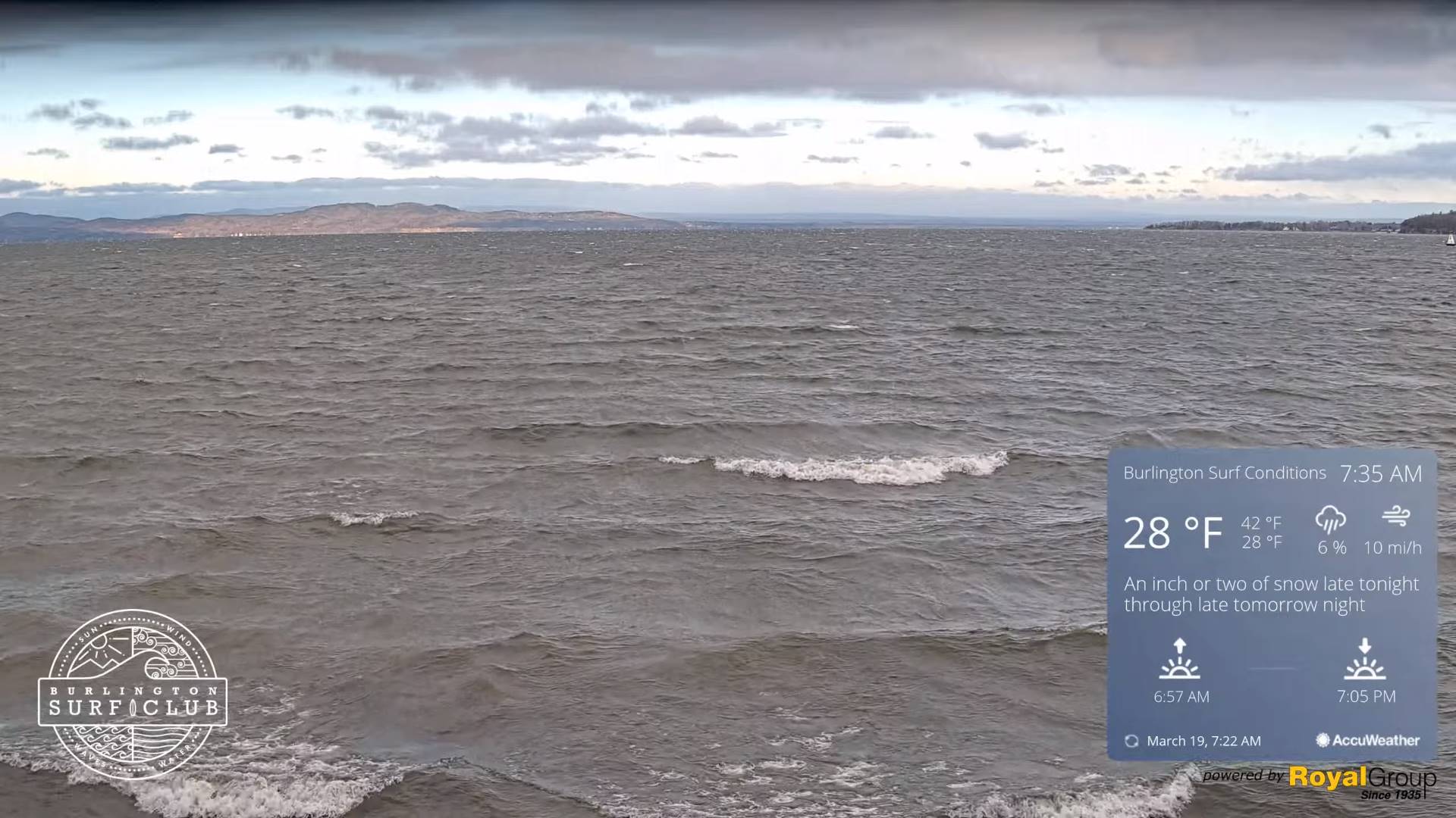
TODAY: Scattered morning snow showers wind down to a few sunny breaks. Lots of afternoon clouds with a stray mountain flurry. Blustery at times. A high 32 to 35. Gusty northwest winds 10 to 20 mph.
TONIGHT: Considerable cloudiness.Mainly mountain flurries. A low in the upper 20s. Light south winds.
Vernal Equinox this evening 11:06 PM
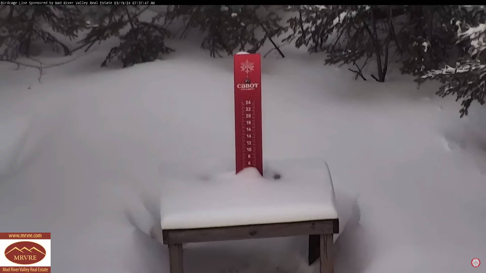
WEDNESDAY: Clouds with a few intervals of afternoon sun. Light accumulating snow showers mixed with rain on western valley floors. A light snow coating in the high terrain. A high about 40. Southwest winds 10 to 15 mph.

Looking further ahead
WEDNESDAY NIGHT: Lots of clouds.Scattered mountain snow showers or flurries. A dusting in spots.A low 20 to 25.
THURSDAY: Mixed sun and clouds & blustery to windy. A few mountain flurries. A high in the upper 20s. Gusty northwest winds.
FRIDAY: Mixed sun and clouds then mostly cloudy later on. Slight chance for a flurry southern areas. A low in the mid-teens. A high in the upper 20s.
SATURDAY: Mainly cloudy. Chance for accumulating early snow exiting to a few flurries. A low around 20. A high mid to upper 30s.
End or meteorological winter was March 9th Start of meteorological summer June 6th
Full Worm Moon 3:00 AM EDT March 25th
Total Solar Eclipse April 8th 3:25 PM EDT
Average lows upper-teens to mid-20s. Average highs low to mid 40s
RH/3-19forecast][end]
