
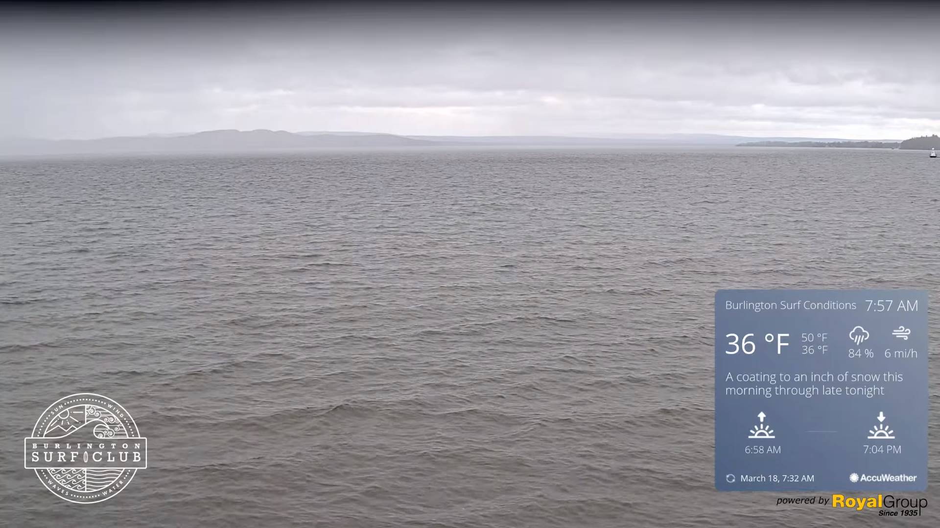
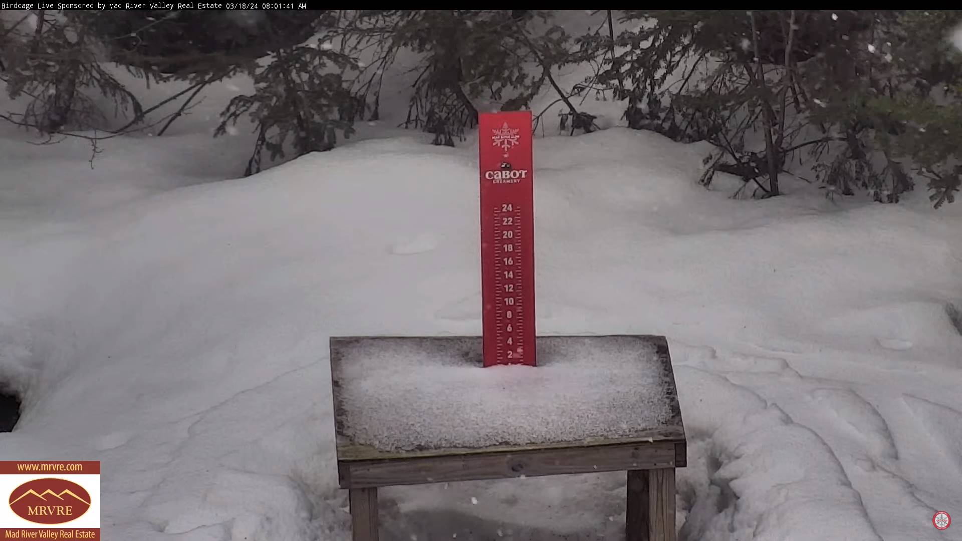
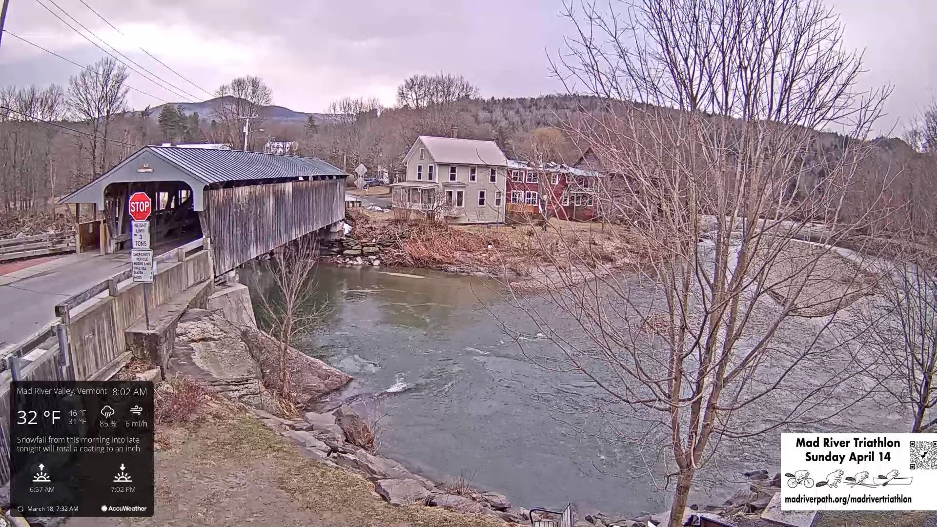
TODAY: Increasing clouds.Scattered light accumulating snow showers or flurries with a dusting to an inch northern mountain slopes. A high in the upper 30s. Westerly winds 10 to 15 mph.
TONIGHT: Mainly cloudy northern mountains, otherwise partly cloudy. Scattered accumulating snow showers and valley flurries. A dusting to 2” especially western slopes of the central and northern Green Mountains. A low in the mid-20s. Light northwest winds.
TUESDAY: Scattered accumulating snow showers early, then to intervals of sun in the afternoon. A high around 35. Northwest winds 10 to 20 mph.
Looking further ahead
TUESDAY NIGHT: Mostly cloudy.Chance for light accumulation snow showers or flurries. Additional minor accumulation. A low 25 to 30.
WEDNESDAY: Variable cloudiness. Good chance for light accumulating snow showers and valley flurries. A high upper 30s near 40.
THURSDAY: Partly to mostly cloudy & blustery. Maybe a stray flurry early. A low around 25. A high upper 20s near 30. Gusty northwest winds.
FRIDAY: Mixed sun and clouds then mostly cloudy later on. Slight chance for a flurry southern areas. A low 10 to 15 above. A high upper 20s near 30.
SATURDAY: Mainly cloudy. Slight chance for snow showers or flurries. A low 15 to 20. A high 35 to 40.
Average lows upper-teens to mid-20s. Average highs low to mid 40s
RH/3-18forecast][end]
